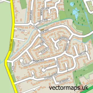
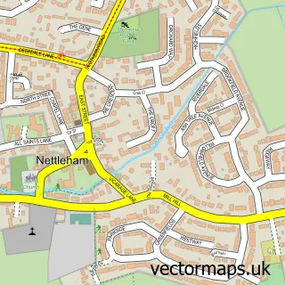
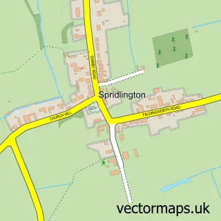
This Dunholme street map is a detailed vector street map covering a 750m x 750m area. Select a larger area to create and download your own vector street map of Dunholme.
The 750-metre map sample for Dunholme covers 482 mapped buildings and approximately 17.4 km of road detail, of which 31 named roads are named. The immediate area includes 1 school, 1 GP surgery within 2 miles and 1 MOT station within 2 miles. The wider area around Dunholme features 1 food and drink venue. To create a larger or custom map of Dunholme, the map builder lets you define your own coverage area and download editable SVG, PDF and PNG files.
Create a larger editable map of Dunholme
Choose any area you need and generate a high-quality vector map instantly. Perfect for print, planning, design, business and personal use.

This Dunholme street map in Lincolnshire is available as downloadable SVG, PDF and PNG map files, or as a printed map for planning, business, display, education, local information and design work. You can also create a larger custom map area using the map selector.
What this Dunholme map sample shows
Dunholme lies within Dunholme Cp parish, part of Dunholme And Welton ward in the West Lindsey District local authority area. The postcode geography for this area includes the LN postcode area, the LN2 postcode district and the LN2 3 postcode sector. Residents fall under the Nhs Lincolnshire Integrated Care Board for NHS services.
Local features near Dunholme
Within 2 milesAmenities and services in and around Dunholme.
Administrative and postcode information for Dunholme
Dunholme lies within Dunholme Cp parish, part of Dunholme And Welton ward in the West Lindsey District local authority area. The postcode geography for this area includes the LN postcode area, the LN2 postcode district and the LN2 3 postcode sector. Residents fall under the Nhs Lincolnshire Integrated Care Board for NHS services.
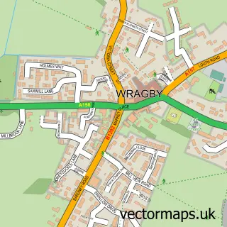
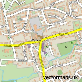
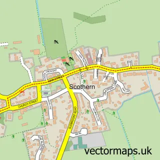
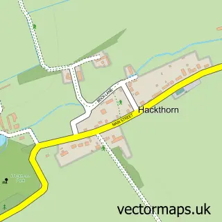
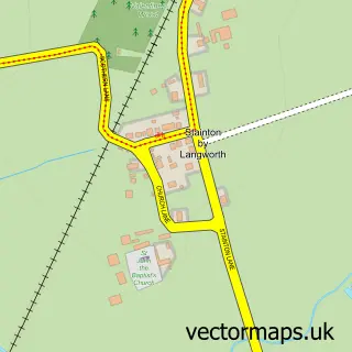
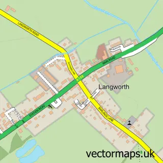
Nearby street map samples around Dunholme

More street maps in Lincolnshire
750 metre map area coverage
Boundary, postcode and point of interest information for the 750m x 750m rectangle centred on this sample map.
Boundaries containing map centre
Constituency: Gainsborough Co Const
County: Lincolnshire County
District: West Lindsey District
Icb: NHS Lincolnshire ICB
Parish: Dunholme CP
Police Force: lincolnshire
Postcode District: LN2
Postcode Sector: LN2 3
Ward: Dunholme and Welton Ward
Nearby boundaries intersecting sample
No additional intersecting boundaries found.
Postcode coverage
POI category counts
Convenience Store: 3
Advertising Agency: 2
Pet Services: 2
Pet Sitting: 2
Post Office: 2
Active Life: 1
Anglican Church: 1
Appliance Store: 1
Aquatic Pet Store: 1
Architectural Designer: 1
Sample points of interest
- Monks Wood
- Graphica Lincoln
- Local Trades Website Design
- Dunholme: St Chad
- AppliancesUK
- Perry's Aquatic Centre
- Greystones Design and Architecture
- Michelle Plowman Aesthetics
- Brook House - Luxury Bed and Breakfast
- Barnes Bikes
- Dunholme St Chads Church
- Costa Express
Create a larger editable map of Dunholme
This sample shows only a 750 metre area. To create a larger map of Dunholme, use our map builder to choose your own coverage area, add titles and download editable SVG, PDF and PNG files.
Create a custom map of Dunholme