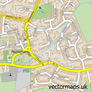
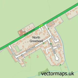
This Welton street map is a detailed vector street map covering a 750m x 750m area. Select a larger area to create and download your own vector street map of Welton.
The 750-metre map sample for Welton covers 577 mapped buildings and approximately 16.6 km of road detail, of which 35 named roads are named. The immediate area includes 1 school, 1 GP surgery, 1 pub and 1 MOT station within 2 miles. The wider area around Welton features 3 food and drink venues. To create a larger or custom map of Welton, the map builder lets you define your own coverage area and download editable SVG, PDF and PNG files.
Create a larger editable map of Welton
Choose any area you need and generate a high-quality vector map instantly. Perfect for print, planning, design, business and personal use.

This Welton street map in Lincolnshire is available as downloadable SVG, PDF and PNG map files, or as a printed map for planning, business, display, education, local information and design work. You can also create a larger custom map area using the map selector.
What this Welton map sample shows
Welton lies within Welton Cp parish, part of Dunholme And Welton ward in the West Lindsey District local authority area. The postcode geography for this area includes the LN postcode area, the LN2 postcode district and the LN2 3 postcode sector. Residents fall under the Nhs Lincolnshire Integrated Care Board for NHS services.
Local features near Welton
Within 2 milesAmenities and services in and around Welton.
Administrative and postcode information for Welton
The local authority covering Welton is West Lindsey District, within the county of Lincolnshire. The settlement lies within Dunholme And Welton ward and Welton Cp civil parish. The LN2 postcode district and LN2 3 postcode sector serve the immediate area. NHS provision in the area is delivered through United Lincolnshire Hospitals Nhs Trust.
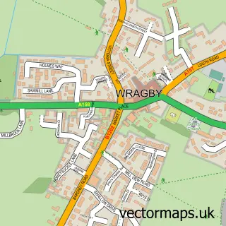
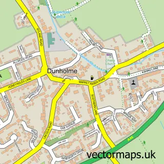
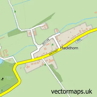
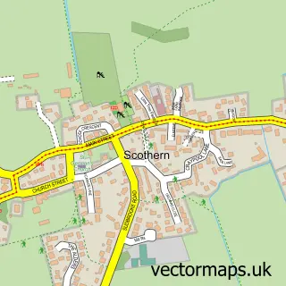
Nearby street map samples around Welton

More street maps in Lincolnshire
750 metre map area coverage
Boundary, postcode and point of interest information for the 750m x 750m rectangle centred on this sample map.
Boundaries containing map centre
Constituency: Gainsborough Co Const
County: Lincolnshire County
District: West Lindsey District
Icb: NHS Lincolnshire ICB
Parish: Welton CP
Police Force: lincolnshire
Postcode District: LN2
Postcode Sector: LN2 3
Ward: Dunholme and Welton Ward
Nearby boundaries intersecting sample
No additional intersecting boundaries found.
Postcode coverage
POI category counts
Church Cathedral: 3
Coffee Shop: 2
Disability Services And Support Organization: 2
Hair Salon: 2
Home Health Care: 2
Preschool: 2
Anglican Church: 1
Arts And Entertainment: 1
Atms: 1
Automotive Repair: 1
Sample points of interest
- Welton: St Mary
- Mr Bartle
- Lincolnshire Co-op - Welton (001046), Welton
- Glas.Weld Systems
- Manor Lane Salon
- Topaz Global Distribution Limited
- Berryoak
- Fairhurst Carpets & Flooring Ltd
- St Mary's Church
- Threshold Church
- Welton & Dunholme Methodist Church
- Pedro the Clown
Create a larger editable map of Welton
This sample shows only a 750 metre area. To create a larger map of Welton, use our map builder to choose your own coverage area, add titles and download editable SVG, PDF and PNG files.
Create a custom map of Welton