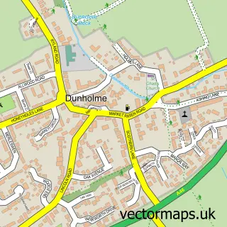
This Sudbrooke street map is a detailed vector street map covering a 750m x 750m area. Select a larger area to create and download your own vector street map of Sudbrooke.
The 750-metre map sample for Sudbrooke covers 523 mapped buildings and approximately 13.7 km of road detail, of which 27 named roads are named. The immediate area includes 1 GP surgery within 2 miles and 1 MOT station within 2 miles. The wider area around Sudbrooke features 1 tourism point of interest. To create a larger or custom map of Sudbrooke, the map builder lets you define your own coverage area and download editable SVG, PDF and PNG files.
Create a larger editable map of Sudbrooke
Choose any area you need and generate a high-quality vector map instantly. Perfect for print, planning, design, business and personal use.

This Sudbrooke street map in Lincolnshire is available as downloadable SVG, PDF and PNG map files, or as a printed map for planning, business, display, education, local information and design work. You can also create a larger custom map area using the map selector.
What this Sudbrooke map sample shows
Sudbrooke lies within Sudbrooke Cp parish, part of Sudbrooke ward in the West Lindsey District local authority area. The postcode geography for this area includes the LN postcode area, the LN2 postcode district and the LN2 2 postcode sector. Residents fall under the Nhs Lincolnshire Integrated Care Board for NHS services.
Local features near Sudbrooke
Within 2 milesAmenities and services in and around Sudbrooke.
Administrative and postcode information for Sudbrooke
The local authority covering Sudbrooke is West Lindsey District, within the county of Lincolnshire. The settlement lies within Sudbrooke ward and Sudbrooke Cp civil parish. The LN2 postcode district and LN2 2 postcode sector serve the immediate area. NHS provision in the area is delivered through United Lincolnshire Hospitals Nhs Trust.
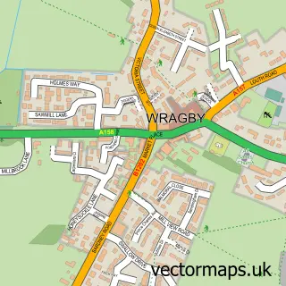
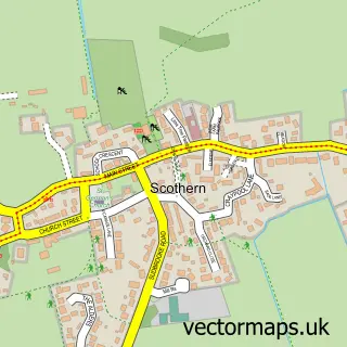
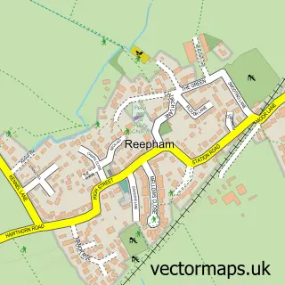
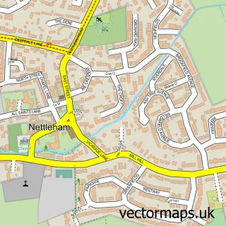
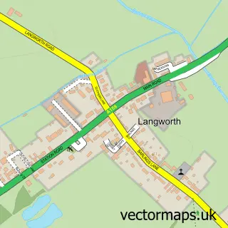
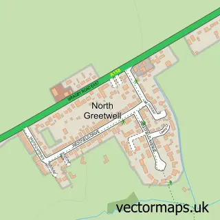
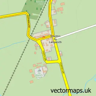
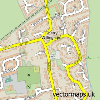
Nearby street map samples around Sudbrooke

More street maps in Lincolnshire
750 metre map area coverage
Boundary, postcode and point of interest information for the 750m x 750m rectangle centred on this sample map.
Boundaries containing map centre
Constituency: Gainsborough Co Const
County: Lincolnshire County
District: West Lindsey District
Icb: NHS Lincolnshire ICB
Parish: Sudbrooke CP
Police Force: lincolnshire
Postcode District: LN2
Postcode Sector: LN2 2
Ward: Sudbrooke Ward
Nearby boundaries intersecting sample
Parish: Reepham CP
Ward: Cherry Willingham Ward
Postcode coverage
POI category counts
It Service And Computer Repair: 2
Key And Locksmith: 2
Automotive Repair: 1
Beauty Salon: 1
Building Contractor: 1
Building Supply Store: 1
Caterer: 1
Contractor: 1
Convenience Store: 1
Counseling And Mental Health: 1
Sample points of interest
- Barbers Garage
- Kokoo Salon
- H2o Cleaning Contractors
- Nikoz Recruitment Ltd
- Good Little Party Food and My Favourite Cake Company
- Simply Heating Lincoln
- Sudbrooke Village Store
- Marshall Vere Associates
- Safety First
- Smart Office Solutions
- The Co-operative Food
- Kokoo Salon
Create a larger editable map of Sudbrooke
This sample shows only a 750 metre area. To create a larger map of Sudbrooke, use our map builder to choose your own coverage area, add titles and download editable SVG, PDF and PNG files.
Create a custom map of Sudbrooke