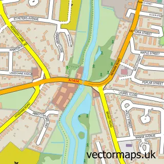
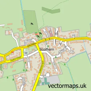
This Cherry Willingham street map is a detailed vector street map covering a 750m x 750m area. Select a larger area to create and download your own vector street map of Cherry Willingham.
The 750-metre map sample for Cherry Willingham covers 558 mapped buildings and approximately 12.9 km of road detail, of which 33 named roads are named. The immediate area includes 1 school, 2 GP surgeries within 2 miles, 3 pubs and 1 MOT station, with 4 within 2 miles. The wider area around Cherry Willingham features 5 food and drink venues. To create a larger or custom map of Cherry Willingham, the map builder lets you define your own coverage area and download editable SVG, PDF and PNG files.
Create a larger editable map of Cherry Willingham
Choose any area you need and generate a high-quality vector map instantly. Perfect for print, planning, design, business and personal use.

This Cherry Willingham street map in Lincolnshire is available as downloadable SVG, PDF and PNG map files, or as a printed map for planning, business, display, education, local information and design work. You can also create a larger custom map area using the map selector.
What this Cherry Willingham map sample shows
Cherry Willingham lies within Cherry Willingham Cp parish, part of Cherry Willingham ward in the West Lindsey District local authority area. The postcode geography for this area includes the LN postcode area, the LN3 postcode district and the LN3 4 postcode sector. Residents fall under the Nhs Lincolnshire Integrated Care Board for NHS services.
Local features near Cherry Willingham
Within 2 milesAmenities and services in and around Cherry Willingham.
Administrative and postcode information for Cherry Willingham
Cherry Willingham lies within Cherry Willingham Cp parish, part of Cherry Willingham ward in the West Lindsey District local authority area. The postcode geography for this area includes the LN postcode area, the LN3 postcode district and the LN3 4 postcode sector. Residents fall under the Nhs Lincolnshire Integrated Care Board for NHS services.
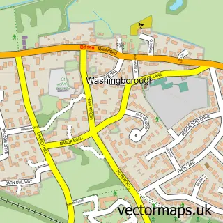
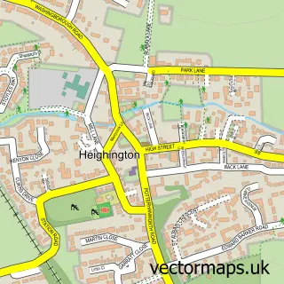
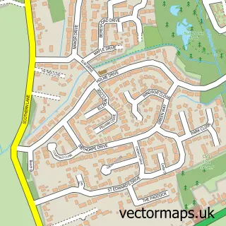
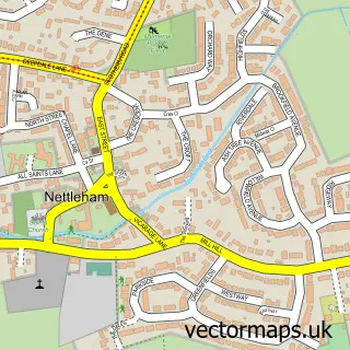
Nearby street map samples around Cherry Willingham

More street maps in Lincolnshire
750 metre map area coverage
Boundary, postcode and point of interest information for the 750m x 750m rectangle centred on this sample map.
Boundaries containing map centre
Constituency: Gainsborough Co Const
County: Lincolnshire County
District: West Lindsey District
Icb: NHS Lincolnshire ICB
Parish: Cherry Willingham CP
Police Force: lincolnshire
Postcode District: LN3
Postcode Sector: LN3 4
Ward: Cherry Willingham Ward
Nearby boundaries intersecting sample
No additional intersecting boundaries found.
Postcode coverage
POI category counts
Post Office: 3
Pub: 3
Automotive Repair: 2
Community Center: 2
Convenience Store: 2
Hair Salon: 2
Library: 2
Professional Services: 2
Accountant: 1
Anglican Church: 1
Sample points of interest
- Premier Accountancy
- Cherry Willingham St Peter & St Paul
- Feet First Entertainment
- Cherry Willingham Garage
- Lincs Restos
- Becke Arms
- Nicolas Hair & Nail Salon
- All Year Biker Lincoln
- Rosie Lea
- Kidz In Toe
- Golden Cherry
- The Vine Community Church
Create a larger editable map of Cherry Willingham
This sample shows only a 750 metre area. To create a larger map of Cherry Willingham, use our map builder to choose your own coverage area, add titles and download editable SVG, PDF and PNG files.
Create a custom map of Cherry Willingham