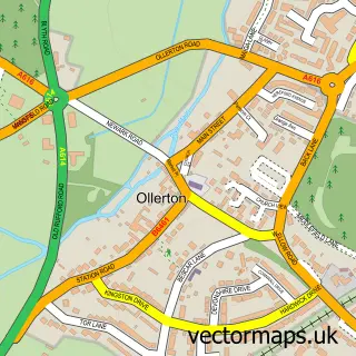
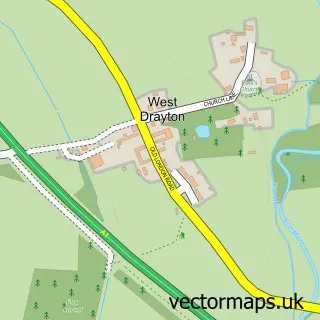
This Walesby street map is a detailed vector street map covering a 750m x 750m area. Select a larger area to create and download your own vector street map of Walesby.
The 750-metre map sample for Walesby covers 357 mapped buildings and approximately 15.7 km of road detail, of which 23 named roads are named. The immediate area includes 1 school, 1 GP surgery within 2 miles, 1 pub and 4 MOT stations within 2 miles. The wider area around Walesby features 1 tourism point of interest and 1 food and drink venue. To create a larger or custom map of Walesby, the map builder lets you define your own coverage area and download editable SVG, PDF and PNG files.
Create a larger editable map of Walesby
Choose any area you need and generate a high-quality vector map instantly. Perfect for print, planning, design, business and personal use.

This Walesby street map in Nottinghamshire is available as downloadable SVG, PDF and PNG map files, or as a printed map for planning, business, display, education, local information and design work. You can also create a larger custom map area using the map selector.
What this Walesby map sample shows
Walesby lies within Walesby Cp parish, part of Boughton ward in the Newark And Sherwood District local authority area. The postcode geography for this area includes the NG postcode area, the NG22 postcode district and the NG22 9 postcode sector. Residents fall under the Nhs Nottingham And Nottinghamshire Integrated Care Board for NHS services.
Local features near Walesby
Within 2 milesAmenities and services in and around Walesby.
Administrative and postcode information for Walesby
Walesby lies within Walesby Cp parish, part of Boughton ward in the Newark And Sherwood District local authority area. The postcode geography for this area includes the NG postcode area, the NG22 postcode district and the NG22 9 postcode sector. Residents fall under the Nhs Nottingham And Nottinghamshire Integrated Care Board for NHS services.
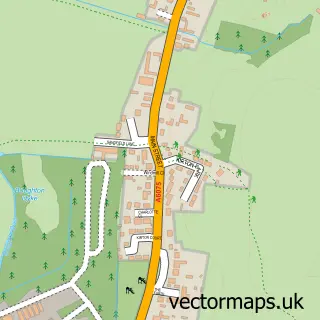
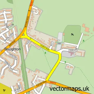
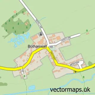
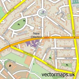
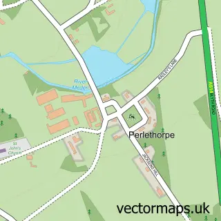
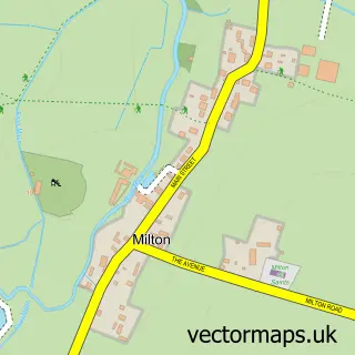
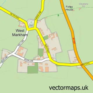
Nearby street map samples around Walesby

More street maps in Nottinghamshire
750 metre map area coverage
Boundary, postcode and point of interest information for the 750m x 750m rectangle centred on this sample map.
Boundaries containing map centre
Constituency: Sherwood Forest Co Const
County: Nottinghamshire County
District: Newark and Sherwood District
Icb: NHS Nottingham and Nottinghamshire ICB
Parish: Walesby CP
Police Force: nottinghamshire
Postcode District: NG22
Postcode Sector: NG22 9
Ward: Boughton Ward
Nearby boundaries intersecting sample
No additional intersecting boundaries found.
Postcode coverage
POI category counts
Anglican Church: 1
Archery Shop: 1
Building Supply Store: 1
Carpenter: 1
Construction Services: 1
Contractor: 1
Cottage: 1
Elementary School: 1
Home Service: 1
Laundry Services: 1
Sample points of interest
- St Edmund
- KG Archery
- Shield Roofing Solutions Ltd
- Riverwood Furniture Ltd.
- RN Surfacing
- A&R Resin Bonded Driveways
- The Cottage
- Walesby Church of England Primary School
- New Beginnings Quality Childcare
- Walesby Ironing Service
- Nina's Nails
- The Willow Tree Medical Herbalist
Create a larger editable map of Walesby
This sample shows only a 750 metre area. To create a larger map of Walesby, use our map builder to choose your own coverage area, add titles and download editable SVG, PDF and PNG files.
Create a custom map of Walesby