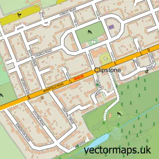
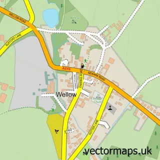
This Kings Clipstone street map is a detailed vector street map covering a 750m x 750m area. Select a larger area to create and download your own vector street map of Kings Clipstone.
The 750-metre map sample for Kings Clipstone covers 90 mapped buildings and approximately 9.7 km of road detail, of which 9 named roads are named. The immediate area includes 1 GP surgery within 2 miles and 1 MOT station within 2 miles. The wider area around Kings Clipstone features 1 tourism point of interest and 1 hotel. To create a larger or custom map of Kings Clipstone, the map builder lets you define your own coverage area and download editable SVG, PDF and PNG files.
Create a larger editable map of Kings Clipstone
Choose any area you need and generate a high-quality vector map instantly. Perfect for print, planning, design, business and personal use.

This Kings Clipstone street map in Nottinghamshire is available as downloadable SVG, PDF and PNG map files, or as a printed map for planning, business, display, education, local information and design work. You can also create a larger custom map area using the map selector.
What this Kings Clipstone map sample shows
Kings Clipstone lies within Kings Clipstone Cp parish, part of Edwinstowe & Clipstone ward in the Newark And Sherwood District local authority area. The postcode geography for this area includes the NG postcode area, the NG21 postcode district and the NG21 9 postcode sector. Residents fall under the Nhs Nottingham And Nottinghamshire Integrated Care Board for NHS services.
Local features near Kings Clipstone
Within 2 milesAmenities and services in and around Kings Clipstone.
Administrative and postcode information for Kings Clipstone
Kings Clipstone lies within Kings Clipstone Cp parish, part of Edwinstowe & Clipstone ward in the Newark And Sherwood District local authority area. The postcode geography for this area includes the NG postcode area, the NG21 postcode district and the NG21 9 postcode sector. Residents fall under the Nhs Nottingham And Nottinghamshire Integrated Care Board for NHS services.
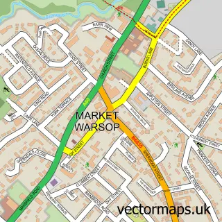
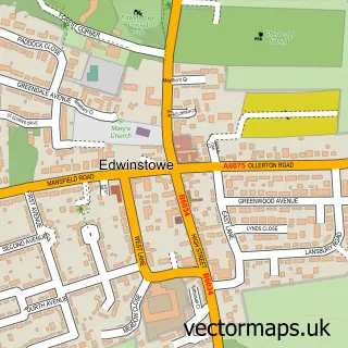
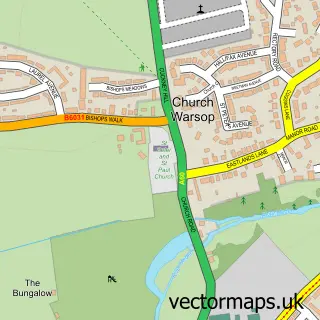
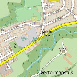
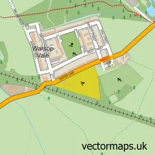
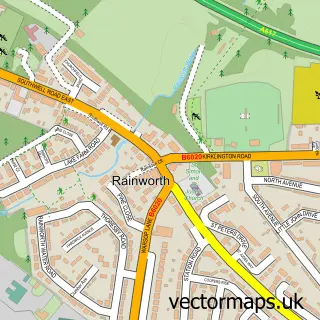
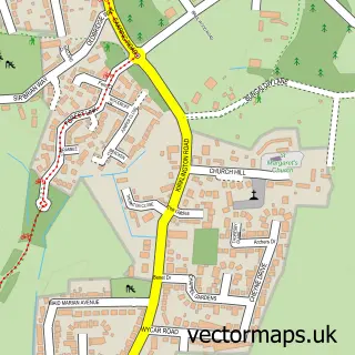
Nearby street map samples around Kings Clipstone

More street maps in Nottinghamshire
750 metre map area coverage
Boundary, postcode and point of interest information for the 750m x 750m rectangle centred on this sample map.
Boundaries containing map centre
Constituency: Sherwood Forest Co Const
County: Nottinghamshire County
District: Newark and Sherwood District
Icb: NHS Nottingham and Nottinghamshire ICB
Parish: Kings Clipstone CP
Police Force: nottinghamshire
Postcode District: NG21
Postcode Sector: NG21 9
Ward: Edwinstowe & Clipstone Ward
Nearby boundaries intersecting sample
No additional intersecting boundaries found.
Postcode coverage
POI category counts
Arts And Entertainment: 1
Assisted Living Facility: 1
Brewery: 1
Business Management Services: 1
Hotel: 1
Landmark And Historical Building: 1
Real Estate Service: 1
School: 1
Train Station: 1
Sample points of interest
- Triple Threat Academy of Performing Arts
- Clipstone Hall & Lodge Care Home
- Kings Clipstone Brewery
- Wildlife Solutions Pest Control
- Sherwood Forest Lodge
- King John's Palace
- Hive Installations
- Old Clipstone Church of England school
- Sherwood Forest Railway - ticket office
Create a larger editable map of Kings Clipstone
This sample shows only a 750 metre area. To create a larger map of Kings Clipstone, use our map builder to choose your own coverage area, add titles and download editable SVG, PDF and PNG files.
Create a custom map of Kings Clipstone