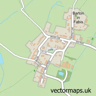
This Ruddington street map is a detailed vector street map covering a 750m x 750m area. Select a larger area to create and download your own vector street map of Ruddington.
The 750-metre map sample for Ruddington covers 530 mapped buildings and approximately 27.0 km of road detail, of which 46 named roads are named. The immediate area includes 1 school, 1 GP surgery, with 5 within 2 miles, 12 pubs and 2 MOT stations, with 4 within 2 miles. The wider area around Ruddington features 6 tourism points of interest, 21 food and drink venues and 2 hotels. To create a larger or custom map of Ruddington, the map builder lets you define your own coverage area and download editable SVG, PDF and PNG files.
Create a larger editable map of Ruddington
Choose any area you need and generate a high-quality vector map instantly. Perfect for print, planning, design, business and personal use.

This Ruddington street map in Nottinghamshire is available as downloadable SVG, PDF and PNG map files, or as a printed map for planning, business, display, education, local information and design work. You can also create a larger custom map area using the map selector.
What this Ruddington map sample shows
Ruddington lies within Ruddington Cp parish, part of Ruddington ward in the Rushcliffe District (B) local authority area. The postcode geography for this area includes the NG postcode area, the NG11 postcode district and the NG11 6 postcode sector. Residents fall under the Nhs Nottingham And Nottinghamshire Integrated Care Board for NHS services.
Local features near Ruddington
Within 2 milesAmenities and services in and around Ruddington.
Administrative and postcode information for Ruddington
The local authority covering Ruddington is Rushcliffe District (B), within the county of Nottinghamshire. The settlement lies within Ruddington ward and Ruddington Cp civil parish. The NG11 postcode district and NG11 6 postcode sector serve the immediate area. NHS provision in the area is delivered through Nottingham University Hospitals Nhs Trust.
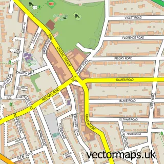
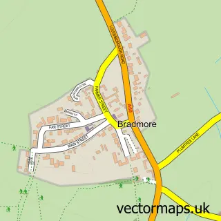
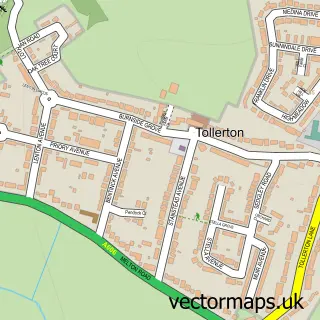
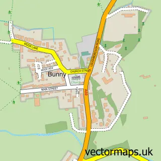
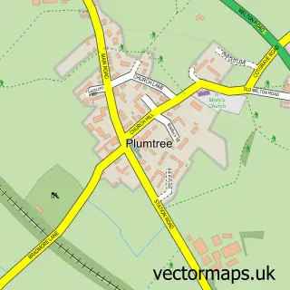
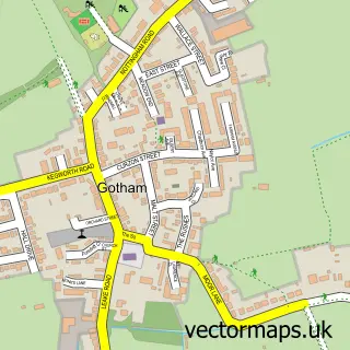
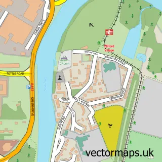
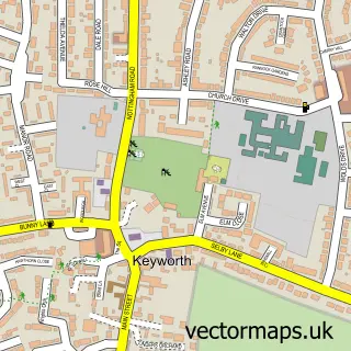
Nearby street map samples around Ruddington

More street maps in Nottinghamshire
750 metre map area coverage
Boundary, postcode and point of interest information for the 750m x 750m rectangle centred on this sample map.
Boundaries containing map centre
Constituency: Rushcliffe Co Const
County: Nottinghamshire County
District: Rushcliffe District (B)
Icb: NHS Nottingham and Nottinghamshire ICB
Parish: Ruddington CP
Police Force: nottinghamshire
Postcode District: NG11
Postcode Sector: NG11 6
Ward: Ruddington Ward
Nearby boundaries intersecting sample
No additional intersecting boundaries found.
Postcode coverage
POI category counts
Pub: 12
Beauty Salon: 10
Hair Salon: 9
Automotive Repair: 5
Cafe: 5
Medical Center: 5
Professional Services: 5
Building Supply Store: 4
Church Cathedral: 4
Coffee Shop: 4
Sample points of interest
- The Cottage
- Girlings & Co
- Jo Roome Chartered Certified Accountants
- YOLO Acupuncture
- Marketing Division
- The Castle Clinic
- St Peter's
- Nottinghamshire Hospice Shop
- Artvine Picture Framing Services
- Debbie Bryan
- Brity Yonly
- St Peters Rest Home
Create a larger editable map of Ruddington
This sample shows only a 750 metre area. To create a larger map of Ruddington, use our map builder to choose your own coverage area, add titles and download editable SVG, PDF and PNG files.
Create a custom map of Ruddington