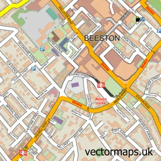
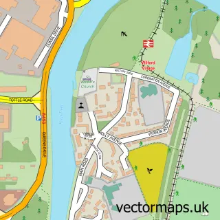
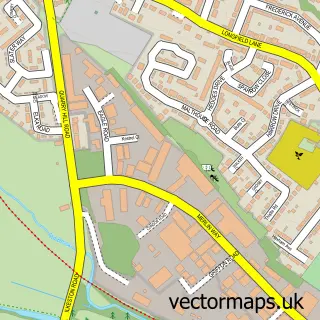
This Wollaton street map is a detailed vector street map covering a 750m x 750m area. Select a larger area to create and download your own vector street map of Wollaton.
The 750-metre map sample for Wollaton covers 411 mapped buildings and approximately 19.5 km of road detail, of which 29 named roads are named. The immediate area includes 14 GP surgeries within 2 miles, 6 pubs and 23 MOT stations within 2 miles. The wider area around Wollaton features 1 tourism point of interest and 7 food and drink venues. To create a larger or custom map of Wollaton, the map builder lets you define your own coverage area and download editable SVG, PDF and PNG files.
Create a larger editable map of Wollaton
Choose any area you need and generate a high-quality vector map instantly. Perfect for print, planning, design, business and personal use.

This Wollaton street map in Nottinghamshire is available as downloadable SVG, PDF and PNG map files, or as a printed map for planning, business, display, education, local information and design work. You can also create a larger custom map area using the map selector.
What this Wollaton map sample shows
Wollaton lies within City Of Nottingham (B) parish, part of Bilborough ward in the City Of Nottingham (B) local authority area. The postcode geography for this area includes the NG postcode area, the NG8 postcode district and the NG8 4 postcode sector. Residents fall under the Nhs Nottingham And Nottinghamshire Integrated Care Board for NHS services.
Local features near Wollaton
Within 2 milesAmenities and services in and around Wollaton.
Administrative and postcode information for Wollaton
Wollaton lies within City Of Nottingham (B) parish, part of Bilborough ward in the City Of Nottingham (B) local authority area. The postcode geography for this area includes the NG postcode area, the NG8 postcode district and the NG8 4 postcode sector. Residents fall under the Nhs Nottingham And Nottinghamshire Integrated Care Board for NHS services.
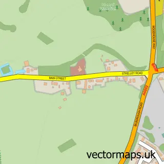
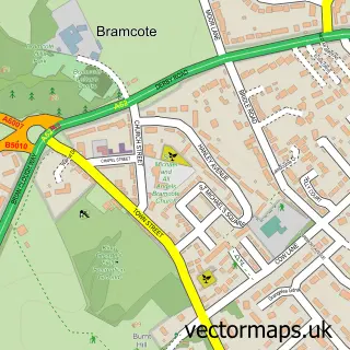
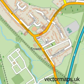
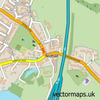
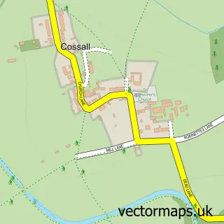
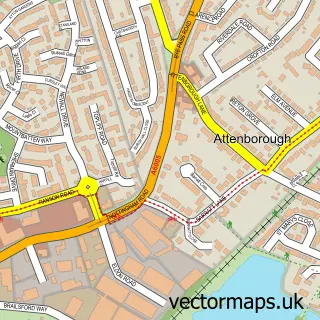
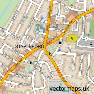
Nearby street map samples around Wollaton

More street maps in Nottinghamshire
750 metre map area coverage
Boundary, postcode and point of interest information for the 750m x 750m rectangle centred on this sample map.
Boundaries containing map centre
Constituency: Nottingham South Boro Const
District: City of Nottingham (B)
Icb: NHS Nottingham and Nottinghamshire ICB
Police Force: nottinghamshire
Postcode District: NG8
Postcode Sector: NG8 2
Ward: Wollaton West Ward
Nearby boundaries intersecting sample
Postcode Sector: NG8 1
Postcode coverage
POI category counts
Pub: 6
Accountant: 3
Church Cathedral: 2
Elementary School: 2
Flowers And Gifts Shop: 2
Hair Salon: 2
Home Service: 2
Pharmacy: 2
Professional Services: 2
Advertising Agency: 1
Sample points of interest
- Coalesco Accountants Ltd.
- Coalesco Certified Accountants
- Embrace Accountants
- Sindy B Communications Ltd
- Wilford Bowmen - Archery in Nottinghamshire
- Guardian Hands Care
- Wilson Drive Shafts
- The Park Hair Studio ltd
- Wollaston Health and beauty
- R&A Damp Proofing
- The David Winson Organisation
- A2B Removals
Create a larger editable map of Wollaton
This sample shows only a 750 metre area. To create a larger map of Wollaton, use our map builder to choose your own coverage area, add titles and download editable SVG, PDF and PNG files.
Create a custom map of Wollaton