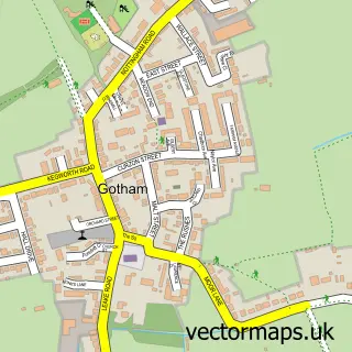
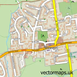
This Attenborough street map is a detailed vector street map covering a 750m x 750m area. Select a larger area to create and download your own vector street map of Attenborough.
The 750-metre map sample for Attenborough covers 532 mapped buildings and approximately 27.0 km of road detail, of which 44 named roads are named. The immediate area includes 8 GP surgeries within 2 miles, 4 pubs and 3 MOT stations, with 28 within 2 miles. The wider area around Attenborough features 8 food and drink venues. To create a larger or custom map of Attenborough, the map builder lets you define your own coverage area and download editable SVG, PDF and PNG files.
Create a larger editable map of Attenborough
Choose any area you need and generate a high-quality vector map instantly. Perfect for print, planning, design, business and personal use.

This Attenborough street map in Nottinghamshire is available as downloadable SVG, PDF and PNG map files, or as a printed map for planning, business, display, education, local information and design work. You can also create a larger custom map area using the map selector.
What this Attenborough map sample shows
Attenborough lies within Nottinghamshire County parish, part of Attenborough & Chilwell East ward in the Broxtowe District (B) local authority area. The postcode geography for this area includes the NG postcode area, the NG9 postcode district and the NG9 6 postcode sector. Residents fall under the Nhs Nottingham And Nottinghamshire Integrated Care Board for NHS services.
Local features near Attenborough
Within 2 milesAmenities and services in and around Attenborough.
Administrative and postcode information for Attenborough
Attenborough lies within Nottinghamshire County parish, part of Attenborough & Chilwell East ward in the Broxtowe District (B) local authority area. The postcode geography for this area includes the NG postcode area, the NG9 postcode district and the NG9 6 postcode sector. Residents fall under the Nhs Nottingham And Nottinghamshire Integrated Care Board for NHS services.
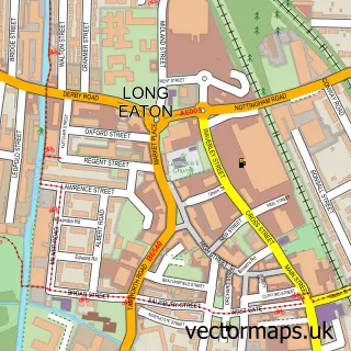
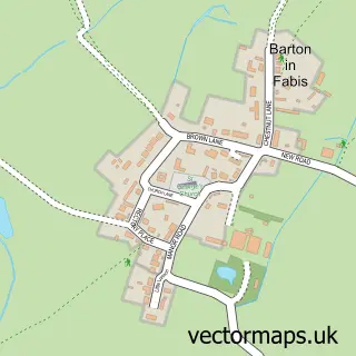
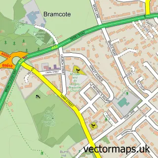
Nearby street map samples around Attenborough

More street maps in Nottinghamshire
750 metre map area coverage
Boundary, postcode and point of interest information for the 750m x 750m rectangle centred on this sample map.
Boundaries containing map centre
Constituency: Broxtowe Co Const
County: Nottinghamshire County
District: Broxtowe District (B)
Icb: NHS Nottingham and Nottinghamshire ICB
Police Force: nottinghamshire
Postcode District: NG9
Postcode Sector: NG9 6
Ward: Attenborough & Chilwell East Ward
Nearby boundaries intersecting sample
Postcode Sector: NG9 5
Ward: Chilwell West Ward, Toton & Chilwell Meadows Ward
Postcode coverage
POI category counts
Professional Services: 6
Automotive Repair: 4
Employment Agencies: 4
Pub: 4
Car Dealer: 3
Engineering Services: 3
Metal Supplier: 3
Automotive: 2
Automotive Dealer: 2
Coffee Shop: 2
Sample points of interest
- D S Research
- Key Hypnotherapy
- Colsalake
- PayPoint
- Evans Halshaw Vauxhall
- Car Store Nottingham
- Car Store Nottingham
- Kia UK
- TS Autos
- Tile World
- Attenborough Autos
- Davis Vehicle Services
Create a larger editable map of Attenborough
This sample shows only a 750 metre area. To create a larger map of Attenborough, use our map builder to choose your own coverage area, add titles and download editable SVG, PDF and PNG files.
Create a custom map of Attenborough