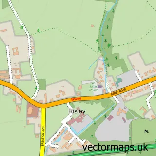
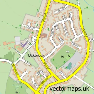
This Breaston street map is a detailed vector street map covering a 750m x 750m area. Select a larger area to create and download your own vector street map of Breaston.
The 750-metre map sample for Breaston covers 515 mapped buildings and approximately 21.5 km of road detail, of which 32 named roads are named. The immediate area includes 2 schools, 5 GP surgeries within 2 miles, 3 pubs and 11 MOT stations within 2 miles. The wider area around Breaston features 2 tourism points of interest and 9 food and drink venues. To create a larger or custom map of Breaston, the map builder lets you define your own coverage area and download editable SVG, PDF and PNG files.
Create a larger editable map of Breaston
Choose any area you need and generate a high-quality vector map instantly. Perfect for print, planning, design, business and personal use.

This Breaston street map in Derbyshire is available as downloadable SVG, PDF and PNG map files, or as a printed map for planning, business, display, education, local information and design work. You can also create a larger custom map area using the map selector.
What this Breaston map sample shows
Breaston lies within Breaston Cp parish, part of Breaston ward in the Erewash District (B) local authority area. The postcode geography for this area includes the DE postcode area, the DE72 postcode district and the DE72 3 postcode sector. Residents fall under the Nhs Derby And Derbyshire Integrated Care Board for NHS services.
Local features near Breaston
Within 2 milesAmenities and services in and around Breaston.
Administrative and postcode information for Breaston
Breaston lies within Breaston Cp parish, part of Breaston ward in the Erewash District (B) local authority area. The postcode geography for this area includes the DE postcode area, the DE72 postcode district and the DE72 3 postcode sector. Residents fall under the Nhs Derby And Derbyshire Integrated Care Board for NHS services.
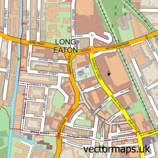
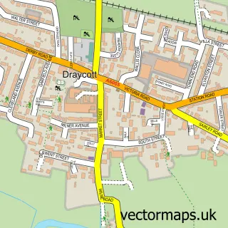
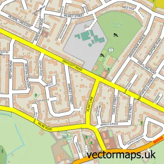
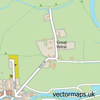
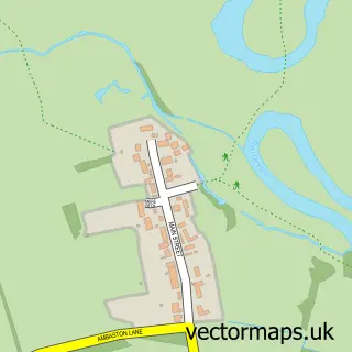
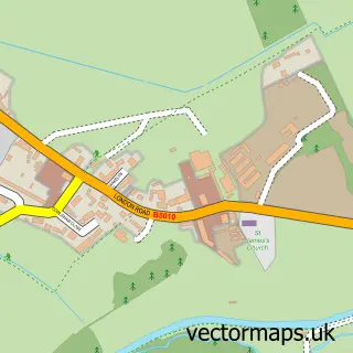
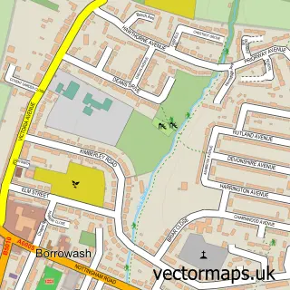
Nearby street map samples around Breaston

More street maps in Derbyshire
750 metre map area coverage
Boundary, postcode and point of interest information for the 750m x 750m rectangle centred on this sample map.
Boundaries containing map centre
Constituency: Erewash Co Const
County: Derbyshire County
District: Erewash District (B)
Icb: NHS Derby and Derbyshire ICB
Parish: Breaston CP
Police Force: derbyshire
Postcode District: DE72
Postcode Sector: DE72 3
Ward: Breaston Ward
Nearby boundaries intersecting sample
No additional intersecting boundaries found.
Postcode coverage
POI category counts
Beauty Salon: 5
Cafe: 3
Hair Salon: 3
Pub: 3
Shipping Center: 3
Advertising Agency: 2
Building Supply Store: 2
Flowers And Gifts Shop: 2
Indian Restaurant: 2
Information Technology Company: 2
Sample points of interest
- Marketing Concept
- Search Impex
- The Cooperative Food (BF) Breaston, Breaston
- Cartakeback
- Zangl
- JB Barbers
- Embrace Hair and Beauty
- Gift Aesthetic Clinic
- Lottie Louise Studio
- Sonya's Beauty Room
- Tanya's Little Retreat
- Hoggs Bistro
Create a larger editable map of Breaston
This sample shows only a 750 metre area. To create a larger map of Breaston, use our map builder to choose your own coverage area, add titles and download editable SVG, PDF and PNG files.
Create a custom map of Breaston