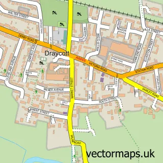
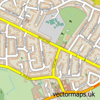
This Shardlow street map is a detailed vector street map covering a 750m x 750m area. Select a larger area to create and download your own vector street map of Shardlow.
The 750-metre map sample for Shardlow covers 103 mapped buildings and approximately 6.5 km of road detail, of which 5 named roads are named. The immediate area includes 1 school, 1 GP surgery within 2 miles, 4 pubs and 6 MOT stations within 2 miles. The wider area around Shardlow features 3 tourism points of interest, 4 food and drink venues and 1 campsite within 2 miles. To create a larger or custom map of Shardlow, the map builder lets you define your own coverage area and download editable SVG, PDF and PNG files.
Create a larger editable map of Shardlow
Choose any area you need and generate a high-quality vector map instantly. Perfect for print, planning, design, business and personal use.

This Shardlow street map in Derbyshire is available as downloadable SVG, PDF and PNG map files, or as a printed map for planning, business, display, education, local information and design work. You can also create a larger custom map area using the map selector.
What this Shardlow map sample shows
Shardlow lies within Shardlow And Great Wilne Cp parish, part of Aston ward in the South Derbyshire District local authority area. The postcode geography for this area includes the DE postcode area, the DE72 postcode district and the DE72 2 postcode sector. Residents fall under the Nhs Derby And Derbyshire Integrated Care Board for NHS services.
Local features near Shardlow
Within 2 milesAmenities and services in and around Shardlow.
Administrative and postcode information for Shardlow
Shardlow lies within Shardlow And Great Wilne Cp parish, part of Aston ward in the South Derbyshire District local authority area. The postcode geography for this area includes the DE postcode area, the DE72 postcode district and the DE72 2 postcode sector. Residents fall under the Nhs Derby And Derbyshire Integrated Care Board for NHS services.
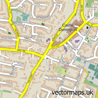
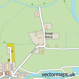
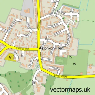
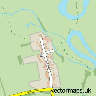
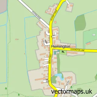
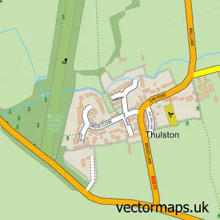
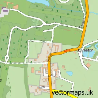
Nearby street map samples around Shardlow

More street maps in Derbyshire
750 metre map area coverage
Boundary, postcode and point of interest information for the 750m x 750m rectangle centred on this sample map.
Boundaries containing map centre
Constituency: South Derbyshire Co Const
County: Derbyshire County
District: South Derbyshire District
Icb: NHS Derby and Derbyshire ICB
Parish: Shardlow and Great Wilne CP
Police Force: derbyshire
Postcode District: DE72
Postcode Sector: DE72 2
Ward: Aston Ward
Nearby boundaries intersecting sample
Parish: Aston upon Trent CP
Postcode coverage
POI category counts
Pub: 4
Home Health Care: 2
Indian Restaurant: 2
Amusement Park: 1
Anglican Church: 1
Appliance Manufacturer: 1
Assisted Living Facility: 1
Auto Electrical Repair: 1
Auto Restoration Services: 1
Automotive: 1
Sample points of interest
- Eventive Funtime
- St James Church
- Key Craft Joinery
- Shardlow Manor
- Mac'S Electrical Ltd.
- Absolute VW
- Shardlow Service Centre
- Fox Classic VW Gearboxes
- Sam Browns Barbers
- Creme Hair
- Kel-Tag Logistics Solutions Ltd
- Shardlow Marina & Caravan Park
Create a larger editable map of Shardlow
This sample shows only a 750 metre area. To create a larger map of Shardlow, use our map builder to choose your own coverage area, add titles and download editable SVG, PDF and PNG files.
Create a custom map of Shardlow