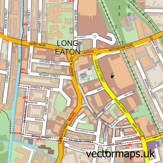
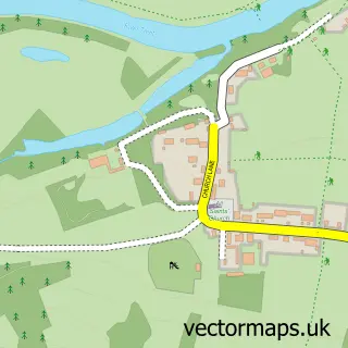
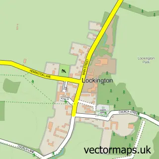
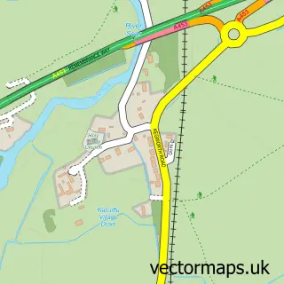
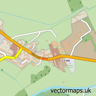
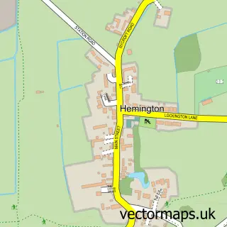
This Sawley street map is a detailed vector street map covering a 750m x 750m area. Select a larger area to create and download your own vector street map of Sawley.
The 750-metre map sample for Sawley covers 598 mapped buildings and approximately 26.0 km of road detail, of which 39 named roads are named. The immediate area includes 2 schools, 4 GP surgeries within 2 miles, 6 pubs and 1 MOT station, with 17 within 2 miles. The wider area around Sawley features 3 tourism points of interest and 7 food and drink venues. To create a larger or custom map of Sawley, the map builder lets you define your own coverage area and download editable SVG, PDF and PNG files.
Create a larger editable map of Sawley
Choose any area you need and generate a high-quality vector map instantly. Perfect for print, planning, design, business and personal use.

This Sawley street map in Derbyshire is available as downloadable SVG, PDF and PNG map files, or as a printed map for planning, business, display, education, local information and design work. You can also create a larger custom map area using the map selector.
What this Sawley map sample shows
Sawley lies within Sawley Cp parish, part of Sawley ward in the Erewash District (B) local authority area. The postcode geography for this area includes the NG postcode area, the NG10 postcode district and the NG10 3 postcode sector. Residents fall under the Nhs Derby And Derbyshire Integrated Care Board for NHS services.
Local features near Sawley
Within 2 milesAmenities and services in and around Sawley.
Administrative and postcode information for Sawley
Sawley lies within Sawley Cp parish, part of Sawley ward in the Erewash District (B) local authority area. The postcode geography for this area includes the NG postcode area, the NG10 postcode district and the NG10 3 postcode sector. Residents fall under the Nhs Derby And Derbyshire Integrated Care Board for NHS services.
Nearby street map samples around Sawley

More street maps in Derbyshire
750 metre map area coverage
Boundary, postcode and point of interest information for the 750m x 750m rectangle centred on this sample map.
Boundaries containing map centre
Constituency: Erewash Co Const
County: Derbyshire County
District: Erewash District (B)
Icb: NHS Derby and Derbyshire ICB
Parish: Sawley CP
Police Force: derbyshire
Postcode District: NG10
Postcode Sector: NG10 3
Ward: Sawley Ward
Nearby boundaries intersecting sample
No additional intersecting boundaries found.
Postcode coverage
POI category counts
Pub: 6
Building Supply Store: 4
Child Care And Day Care: 3
Education: 3
Hair Salon: 3
International Business And Trade Services: 3
Automotive Repair: 2
Elementary School: 2
Irish Pub: 2
Park: 2
Sample points of interest
- Sawley Memorial Hall
- Major Oak Admin Solutions
- Olly Fisher
- The Cooperative Food (BF) Draycott Road, Sawley
- EB Auto Repair
- T J Auto Repairs
- Christina Cake Co
- The Railway Inn
- Breathe Beauty
- Sunsation tanning salon
- Tiller Girl
- Old Sawley Brewing Company
Create a larger editable map of Sawley
This sample shows only a 750 metre area. To create a larger map of Sawley, use our map builder to choose your own coverage area, add titles and download editable SVG, PDF and PNG files.
Create a custom map of Sawley