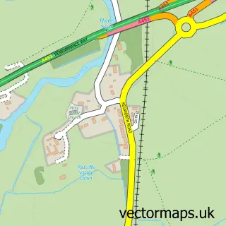
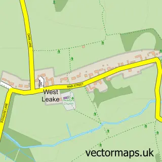
This Thrumpton street map is a detailed vector street map covering a 750m x 750m area. Select a larger area to create and download your own vector street map of Thrumpton.
The 750-metre map sample for Thrumpton covers 74 mapped buildings and approximately 5.6 km of road detail, of which 1 named road are named. The immediate area includes 1 GP surgery within 2 miles and 17 MOT stations within 2 miles. To create a larger or custom map of Thrumpton, the map builder lets you define your own coverage area and download editable SVG, PDF and PNG files.
Create a larger editable map of Thrumpton
Choose any area you need and generate a high-quality vector map instantly. Perfect for print, planning, design, business and personal use.

This Thrumpton street map in Nottinghamshire is available as downloadable SVG, PDF and PNG map files, or as a printed map for planning, business, display, education, local information and design work. You can also create a larger custom map area using the map selector.
What this Thrumpton map sample shows
Thrumpton lies within Thrumpton Cp parish, part of Gotham ward in the Rushcliffe District (B) local authority area. The postcode geography for this area includes the NG postcode area, the NG11 postcode district and the NG11 0 postcode sector. Residents fall under the Nhs Nottingham And Nottinghamshire Integrated Care Board for NHS services.
Local features near Thrumpton
Within 2 milesAmenities and services in and around Thrumpton.
Administrative and postcode information for Thrumpton
Thrumpton lies within Thrumpton Cp parish, part of Gotham ward in the Rushcliffe District (B) local authority area. The postcode geography for this area includes the NG postcode area, the NG11 postcode district and the NG11 0 postcode sector. Residents fall under the Nhs Nottingham And Nottinghamshire Integrated Care Board for NHS services.
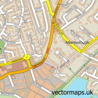
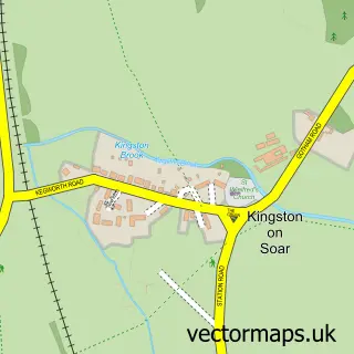
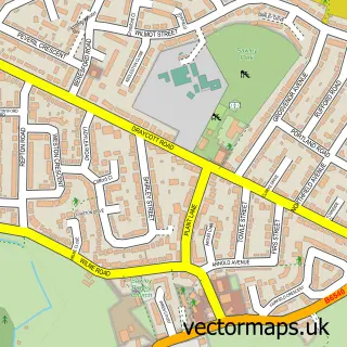
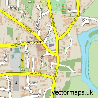
Nearby street map samples around Thrumpton

More street maps in Nottinghamshire
750 metre map area coverage
Boundary, postcode and point of interest information for the 750m x 750m rectangle centred on this sample map.
Boundaries containing map centre
Constituency: Rushcliffe Co Const
County: Nottinghamshire County
District: Rushcliffe District (B)
Icb: NHS Nottingham and Nottinghamshire ICB
Parish: Thrumpton CP
Police Force: nottinghamshire
Postcode District: NG11
Postcode Sector: NG11 0
Ward: Gotham Ward
Nearby boundaries intersecting sample
Constituency: Erewash Co Const
County: Derbyshire County
District: Erewash District (B)
Police Force: derbyshire
Postcode District: NG10
Postcode Sector: NG10 2
Ward: Nottingham Road Ward
Postcode coverage
POI category counts
Architect: 1
Caterer: 1
Church Cathedral: 1
Community Center: 1
Cricket Ground: 1
Mass Media: 1
Medical Spa: 1
Professional Services: 1
Software Development: 1
Wholesale Store: 1
Sample points of interest
- 3D-Visualist
- Village Hall/Social Club Thrumpton
- All Saints Church
- Thrumpton Village Hall
- Thrumpton Cricket Club
- Nottingham University Press Ltd.
- Pro Aesthetics Courses
- Cobac Security
- Elephant Fish
- Freelance Foods
Create a larger editable map of Thrumpton
This sample shows only a 750 metre area. To create a larger map of Thrumpton, use our map builder to choose your own coverage area, add titles and download editable SVG, PDF and PNG files.
Create a custom map of Thrumpton