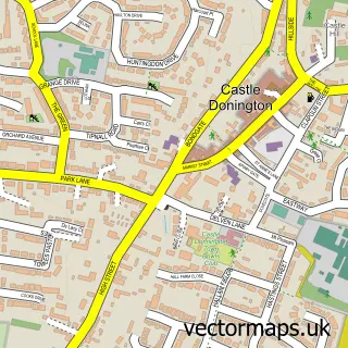
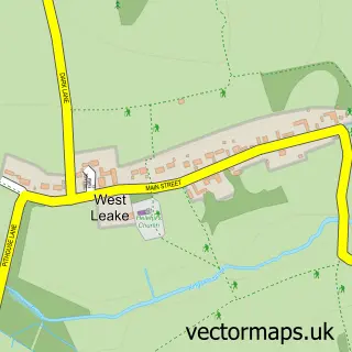
This Kegworth street map is a detailed vector street map covering a 750m x 750m area. Select a larger area to create and download your own vector street map of Kegworth.
The 750-metre map sample for Kegworth covers 430 mapped buildings and approximately 18.7 km of road detail, of which 29 named roads are named. The immediate area includes 1 school, 1 GP surgery and 2 pubs. The wider area around Kegworth features 3 tourism points of interest, 6 food and drink venues and 2 hotels. To create a larger or custom map of Kegworth, the map builder lets you define your own coverage area and download editable SVG, PDF and PNG files.
Create a larger editable map of Kegworth
Choose any area you need and generate a high-quality vector map instantly. Perfect for print, planning, design, business and personal use.

This Kegworth street map in Leicestershire is available as downloadable SVG, PDF and PNG map files, or as a printed map for planning, business, display, education, local information and design work. You can also create a larger custom map area using the map selector.
What this Kegworth map sample shows
Kegworth lies within Kegworth Cp parish, part of Kegworth ward in the North West Leicestershire District local authority area. The postcode geography for this area includes the DE postcode area, the DE74 postcode district and the DE74 2 postcode sector. Residents fall under the Nhs Leicester, Leicestershire And Rutland Integrated Care Board for NHS services.
Local features near Kegworth
Within 2 milesAmenities and services in and around Kegworth.
Administrative and postcode information for Kegworth
The local authority covering Kegworth is North West Leicestershire District, within the county of Leicestershire. The settlement lies within Kegworth ward and Kegworth Cp civil parish. The DE74 postcode district and DE74 2 postcode sector serve the immediate area. NHS provision in the area is delivered through Nottingham University Hospitals Nhs Trust.
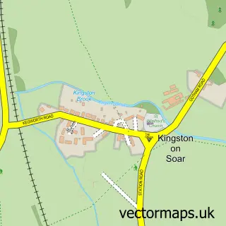
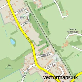
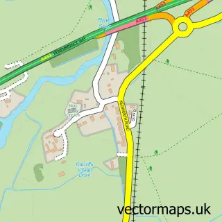
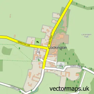
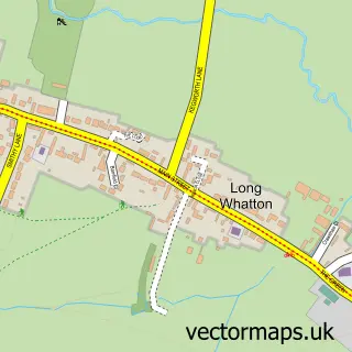
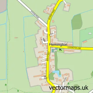
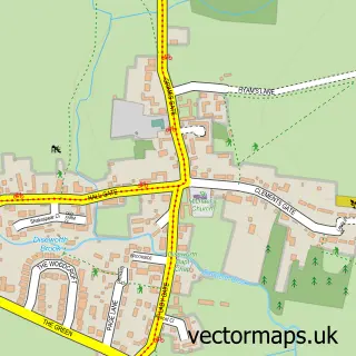
Nearby street map samples around Kegworth

More street maps in Leicestershire
750 metre map area coverage
Boundary, postcode and point of interest information for the 750m x 750m rectangle centred on this sample map.
Boundaries containing map centre
Constituency: North West Leicestershire Co Const
County: Leicestershire County
District: North West Leicestershire District
Icb: NHS Leicester Leicestershire and Rutland ICB
Parish: Kegworth CP
Police Force: leicestershire
Postcode District: DE74
Postcode Sector: DE74 2
Ward: Kegworth Ward
Nearby boundaries intersecting sample
Constituency: Rushcliffe Co Const
County: Nottinghamshire County
District: Rushcliffe District (B)
Icb: NHS Nottingham and Nottinghamshire ICB
Parish: Sutton Bonington CP
Police Force: nottinghamshire
Postcode District: LE12
Postcode Sector: LE12 5
Ward: Daleacre Hill Ward, Soar Valley Ward
Postcode coverage
POI category counts
Fish And Chips Restaurant: 5
Hair Salon: 5
Church Cathedral: 4
Financial Service: 4
Convenience Store: 3
Real Estate Agent: 3
Bar: 2
Beauty Salon: 2
Chinese Restaurant: 2
Community Services Non Profits: 2
Sample points of interest
- Raeside Creatives
- Kegworth: St Andrews
- Bickerstaffe Bows
- The Cap & Stocking
- The Cooperative Food (BF) Kegworth, Kegworth
- Mobile Money
- Oaklands Kegworth sandwiches, bakers & butchers
- Kegworth Baptist Church
- Redhill Marina Cafe
- The Coach House Bar | Kegworth
- Dan's Barbers
- RIRI Beauty Salon Kegworth
Create a larger editable map of Kegworth
This sample shows only a 750 metre area. To create a larger map of Kegworth, use our map builder to choose your own coverage area, add titles and download editable SVG, PDF and PNG files.
Create a custom map of Kegworth