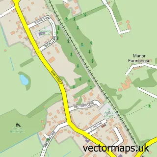
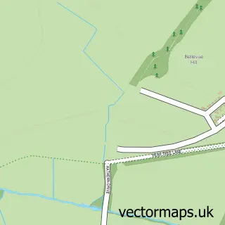
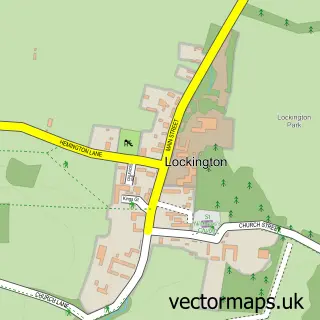
This Long Whatton street map is a detailed vector street map covering a 750m x 750m area. Select a larger area to create and download your own vector street map of Long Whatton.
The 750-metre map sample for Long Whatton covers 152 mapped buildings and approximately 9.9 km of road detail, of which 10 named roads are named. The immediate area includes 1 school, 1 pub and 1 MOT station within 2 miles. The wider area around Long Whatton features 1 food and drink venue and 1 hotel. To create a larger or custom map of Long Whatton, the map builder lets you define your own coverage area and download editable SVG, PDF and PNG files.
Create a larger editable map of Long Whatton
Choose any area you need and generate a high-quality vector map instantly. Perfect for print, planning, design, business and personal use.

This Long Whatton street map in Leicestershire is available as downloadable SVG, PDF and PNG map files, or as a printed map for planning, business, display, education, local information and design work. You can also create a larger custom map area using the map selector.
What this Long Whatton map sample shows
Long Whatton lies within Long Whatton And Diseworth Cp parish, part of Long Whatton & Diseworth ward in the North West Leicestershire District local authority area. The postcode geography for this area includes the LE postcode area, the LE12 postcode district and the LE12 5 postcode sector. Residents fall under the Nhs Leicester, Leicestershire And Rutland Integrated Care Board for NHS services.
Local features near Long Whatton
Within 2 milesAmenities and services in and around Long Whatton.
Administrative and postcode information for Long Whatton
The local authority covering Long Whatton is North West Leicestershire District, within the county of Leicestershire. The settlement lies within Long Whatton & Diseworth ward and Long Whatton And Diseworth Cp civil parish. The LE12 postcode district and LE12 5 postcode sector serve the immediate area. NHS provision in the area is delivered through Nottingham University Hospitals Nhs Trust.
Nearby street map samples around Long Whatton

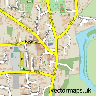
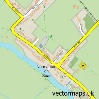
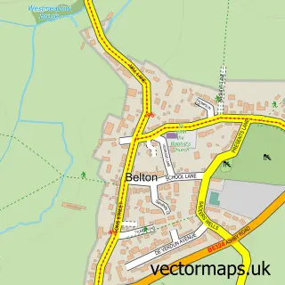
More street maps in Leicestershire
750 metre map area coverage
Boundary, postcode and point of interest information for the 750m x 750m rectangle centred on this sample map.
Boundaries containing map centre
Constituency: North West Leicestershire Co Const
County: Leicestershire County
District: North West Leicestershire District
Icb: NHS Leicester Leicestershire and Rutland ICB
Parish: Long Whatton and Diseworth CP
Police Force: leicestershire
Postcode District: LE12
Postcode Sector: LE12 5
Ward: Long Whatton & Diseworth Ward
Nearby boundaries intersecting sample
No additional intersecting boundaries found.
Postcode coverage
POI category counts
Courier And Delivery Services: 2
Anglican Church: 1
Bed And Breakfast: 1
Bus Station: 1
Church Cathedral: 1
Convenience Store: 1
Cricket Ground: 1
Elementary School: 1
Farmers Market: 1
Hair Supply Stores: 1
Sample points of interest
- Long Whatton: All Saints
- The Forge Guest Rooms
- David Tipping Executive Vehicle Hire
- All Saints' Church
- Long Whatton Village Store
- Evri ParcelShop
- Evri ParcelShop
- Long Whatton Cricket Club
- Long Whatton C of E Primary School
- Manor Organic Farm Shop
- Avon Helen's Beauty Dreams
- The Parlour at Manor Organic Farm
Create a larger editable map of Long Whatton
This sample shows only a 750 metre area. To create a larger map of Long Whatton, use our map builder to choose your own coverage area, add titles and download editable SVG, PDF and PNG files.
Create a custom map of Long Whatton