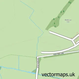
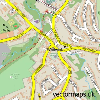
This Shepshed street map is a detailed vector street map covering a 750m x 750m area. Select a larger area to create and download your own vector street map of Shepshed.
The 750-metre map sample for Shepshed covers 639 mapped buildings and approximately 28.4 km of road detail, of which 57 named roads are named. The immediate area includes 3 schools, 1 GP surgery, with 2 within 2 miles, 9 pubs and 1 MOT station, with 3 within 2 miles. The wider area around Shepshed features 17 food and drink venues. To create a larger or custom map of Shepshed, the map builder lets you define your own coverage area and download editable SVG, PDF and PNG files.
Create a larger editable map of Shepshed
Choose any area you need and generate a high-quality vector map instantly. Perfect for print, planning, design, business and personal use.

This Shepshed street map in Leicestershire is available as downloadable SVG, PDF and PNG map files, or as a printed map for planning, business, display, education, local information and design work. You can also create a larger custom map area using the map selector.
What this Shepshed map sample shows
Shepshed lies within Shepshed Cp parish, part of Shepshed West ward in the Charnwood District (B) local authority area. The postcode geography for this area includes the LE postcode area, the LE12 postcode district and the LE12 9 postcode sector. Residents fall under the Nhs Leicester, Leicestershire And Rutland Integrated Care Board for NHS services.
Local features near Shepshed
Within 2 milesAmenities and services in and around Shepshed.
Administrative and postcode information for Shepshed
The local authority covering Shepshed is Charnwood District (B), within the county of Leicestershire. The settlement lies within Shepshed West ward and Shepshed Cp civil parish. The LE12 postcode district and LE12 9 postcode sector serve the immediate area. NHS provision in the area is delivered through University Hospitals Of Leicester Nhs Trust.
Nearby street map samples around Shepshed

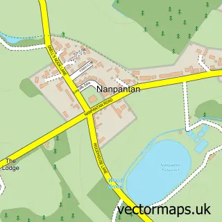
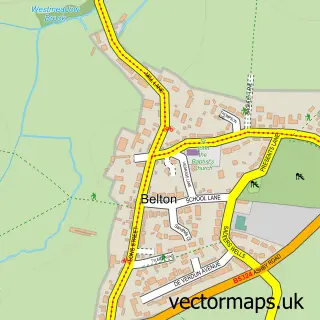
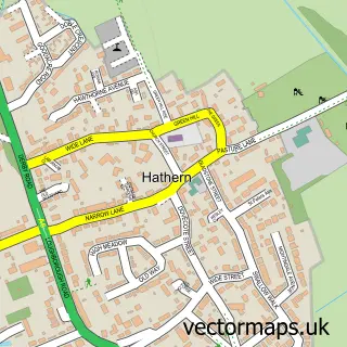
More street maps in Leicestershire
750 metre map area coverage
Boundary, postcode and point of interest information for the 750m x 750m rectangle centred on this sample map.
Boundaries containing map centre
Constituency: Loughborough Co Const
County: Leicestershire County
District: Charnwood District (B)
Icb: NHS Leicester Leicestershire and Rutland ICB
Parish: Shepshed CP
Police Force: leicestershire
Postcode District: LE12
Postcode Sector: LE12 9
Ward: Shepshed East Ward
Nearby boundaries intersecting sample
Ward: Shepshed West Ward
Postcode coverage
POI category counts
Beauty Salon: 14
Hair Salon: 11
Pub: 9
Cafe: 7
Pizza Restaurant: 5
Barber: 4
Building Supply Store: 4
Church Cathedral: 4
Contractor: 4
Elementary School: 4
Sample points of interest
- Sally Varley Acupuncture & Wellbeing
- Feeds Marketing
- Rise By Digital
- Shepshed: St Botolph
- Corner Crafts
- Love, Heart, Home
- The Willows Nursing Home
- ATM (Post Office)
- Hearing Sound
- Hearing Sound
- Aqua Refinish
- Constella MOT & Service Centre
Create a larger editable map of Shepshed
This sample shows only a 750 metre area. To create a larger map of Shepshed, use our map builder to choose your own coverage area, add titles and download editable SVG, PDF and PNG files.
Create a custom map of Shepshed