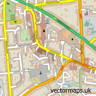
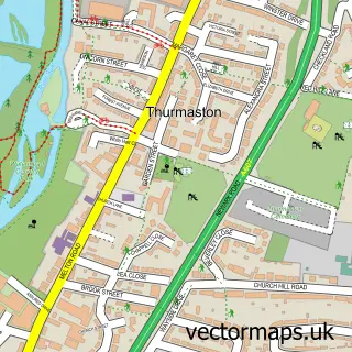
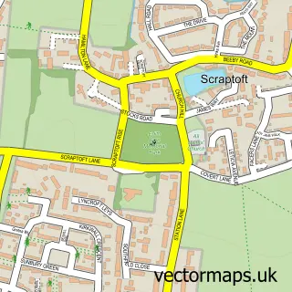
This Leicester street map is a detailed vector street map covering a 750m x 750m area. Select a larger area to create and download your own vector street map of Leicester.
The 750-metre map sample for Leicester covers 114 mapped buildings and approximately 40.5 km of road detail, of which 87 named roads are named. The immediate area includes 3 GP surgeries, with 39 within 2 miles, 33 pubs and 1 MOT station, with 94 within 2 miles. The wider area around Leicester features 22 tourism points of interest, 151 food and drink venues and 17 hotels. To create a larger or custom map of Leicester, the map builder lets you define your own coverage area and download editable SVG, PDF and PNG files.
Create a larger editable map of Leicester
Choose any area you need and generate a high-quality vector map instantly. Perfect for print, planning, design, business and personal use.

This Leicester street map in Leicestershire is available as downloadable SVG, PDF and PNG map files, or as a printed map for planning, business, display, education, local information and design work. You can also create a larger custom map area using the map selector.
What this Leicester map sample shows
Leicester lies within City Of Leicester (B) parish, part of Stoneygate ward in the City Of Leicester (B) local authority area. The postcode geography for this area includes the LE postcode area, the LE5 postcode district and the LE5 5 postcode sector. Residents fall under the Nhs Leicester, Leicestershire And Rutland Integrated Care Board for NHS services.
Local features near Leicester
Within 2 milesAmenities and services in and around Leicester.
Administrative and postcode information for Leicester
Leicester lies within City Of Leicester (B) parish, part of Stoneygate ward in the City Of Leicester (B) local authority area. The postcode geography for this area includes the LE postcode area, the LE5 postcode district and the LE5 5 postcode sector. Residents fall under the Nhs Leicester, Leicestershire And Rutland Integrated Care Board for NHS services.
Nearby street map samples around Leicester
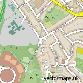
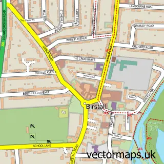
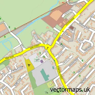
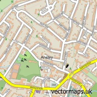
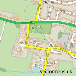
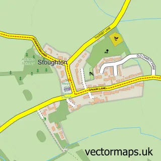
More street maps in Leicestershire
750 metre map area coverage
Boundary, postcode and point of interest information for the 750m x 750m rectangle centred on this sample map.
Boundaries containing map centre
Constituency: Leicester South Boro Const
District: City of Leicester (B)
Icb: NHS Leicester Leicestershire and Rutland ICB
Police Force: leicestershire
Postcode District: LE1
Postcode Sector: LE1 4
Ward: Castle Ward
Nearby boundaries intersecting sample
Constituency: Leicester West Boro Const
Postcode Sector: LE1 1, LE1 2, LE1 3, LE1 5, LE1 6
Ward: Abbey Ward
Postcode coverage
POI category counts
Clothing Store: 85
Employment Agencies: 54
Jewelry Store: 51
Cafe: 47
Professional Services: 47
Coffee Shop: 39
Beauty Salon: 34
Shoe Store: 34
Bar: 33
Pub: 32
Sample points of interest
- Dear Albert
- Lumis Student Living
- Student Inn
- Vestry house
- Bradgate Tax LLP
- Dns Accountants Leicester
- GBS Business and Legal
- SRM Accountants
- Smart Tax and Accounting
- TaxAssist Accountants
- Taxsolvers
- TorrWaterfield
Create a larger editable map of Leicester
This sample shows only a 750 metre area. To create a larger map of Leicester, use our map builder to choose your own coverage area, add titles and download editable SVG, PDF and PNG files.
Create a custom map of Leicester