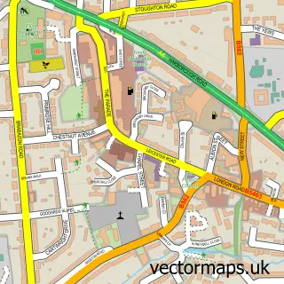
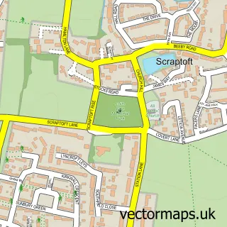
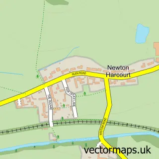
This Stoughton street map is a detailed vector street map covering a 750m x 750m area. Select a larger area to create and download your own vector street map of Stoughton.
The 750-metre map sample for Stoughton covers 86 mapped buildings and approximately 10.4 km of road detail, of which 5 named roads are named. The immediate area includes 5 GP surgeries within 2 miles and 4 MOT stations within 2 miles. The wider area around Stoughton features 1 tourism point of interest. To create a larger or custom map of Stoughton, the map builder lets you define your own coverage area and download editable SVG, PDF and PNG files.
Create a larger editable map of Stoughton
Choose any area you need and generate a high-quality vector map instantly. Perfect for print, planning, design, business and personal use.

This Stoughton street map in Leicestershire is available as downloadable SVG, PDF and PNG map files, or as a printed map for planning, business, display, education, local information and design work. You can also create a larger custom map area using the map selector.
What this Stoughton map sample shows
Stoughton lies within Stoughton Cp parish, part of Thurnby & Houghton ward in the Harborough District local authority area. The postcode geography for this area includes the LE postcode area, the LE2 postcode district and the LE2 2 postcode sector. Residents fall under the Nhs Leicester, Leicestershire And Rutland Integrated Care Board for NHS services.
Local features near Stoughton
Within 2 milesAmenities and services in and around Stoughton.
Administrative and postcode information for Stoughton
Stoughton lies within Stoughton Cp parish, part of Thurnby & Houghton ward in the Harborough District local authority area. The postcode geography for this area includes the LE postcode area, the LE2 postcode district and the LE2 2 postcode sector. Residents fall under the Nhs Leicester, Leicestershire And Rutland Integrated Care Board for NHS services.
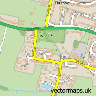
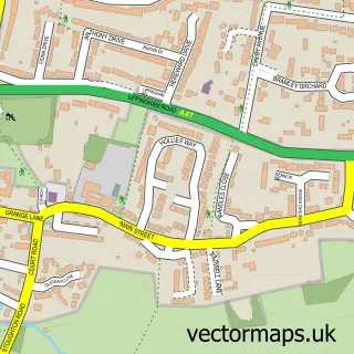
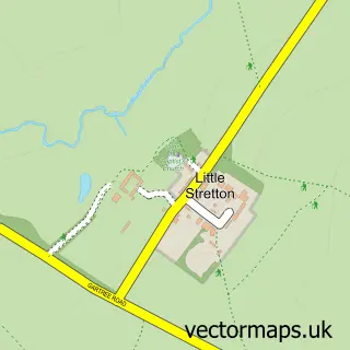
Nearby street map samples around Stoughton

More street maps in Leicestershire
750 metre map area coverage
Boundary, postcode and point of interest information for the 750m x 750m rectangle centred on this sample map.
Boundaries containing map centre
Constituency: Rutland and Stamford Co Const
County: Leicestershire County
District: Harborough District
Icb: NHS Leicester Leicestershire and Rutland ICB
Parish: Stoughton CP
Police Force: leicestershire
Postcode District: LE2
Postcode Sector: LE2 2
Ward: Thurnby & Houghton Ward
Nearby boundaries intersecting sample
No additional intersecting boundaries found.
Postcode coverage
POI category counts
Anglican Church: 1
Computer Hardware Company: 1
Energy Company: 1
Engineering Services: 1
Financial Advising: 1
Financial Service: 1
Hvac Services: 1
Landmark And Historical Building: 1
Preschool: 1
Real Estate Agent: 1
Sample points of interest
- Stoughton: St Mary & All Saints
- Keythorpe Locks
- Cadent
- Pegasus Environmental Consultancy Ltd.
- Trust Financial Planning
- Integra Associates
- Crown Heating Services
- Stoughton, Leicestershire
- Bluebell Nursery School
- PJE International
- Mr Sash Windows Ltd
Create a larger editable map of Stoughton
This sample shows only a 750 metre area. To create a larger map of Stoughton, use our map builder to choose your own coverage area, add titles and download editable SVG, PDF and PNG files.
Create a custom map of Stoughton