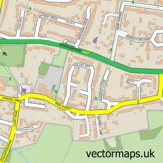
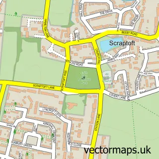
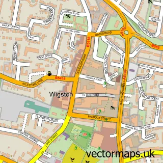
This Oadby street map is a detailed vector street map covering a 750m x 750m area. Select a larger area to create and download your own vector street map of Oadby.
The 750-metre map sample for Oadby covers 366 mapped buildings and approximately 28.6 km of road detail, of which 47 named roads are named. The immediate area includes 1 school, 1 GP surgery, with 8 within 2 miles, 5 pubs and 2 MOT stations, with 13 within 2 miles. The wider area around Oadby features 2 tourism points of interest and 18 food and drink venues. To create a larger or custom map of Oadby, the map builder lets you define your own coverage area and download editable SVG, PDF and PNG files.
Create a larger editable map of Oadby
Choose any area you need and generate a high-quality vector map instantly. Perfect for print, planning, design, business and personal use.

This Oadby street map in Leicestershire is available as downloadable SVG, PDF and PNG map files, or as a printed map for planning, business, display, education, local information and design work. You can also create a larger custom map area using the map selector.
What this Oadby map sample shows
Oadby lies within Leicestershire County parish, part of Oadby Grange ward in the Oadby And Wigston District (B) local authority area. The postcode geography for this area includes the LE postcode area, the LE2 postcode district and the LE2 4 postcode sector. Residents fall under the Nhs Leicester, Leicestershire And Rutland Integrated Care Board for NHS services.
Local features near Oadby
Within 2 milesAmenities and services in and around Oadby.
Administrative and postcode information for Oadby
The local authority covering Oadby is Oadby And Wigston District (B), within the county of Leicestershire. The settlement lies within Oadby Grange ward and Leicestershire County civil parish. The LE2 postcode district and LE2 4 postcode sector serve the immediate area. NHS provision in the area is delivered through University Hospitals Of Leicester Nhs Trust.
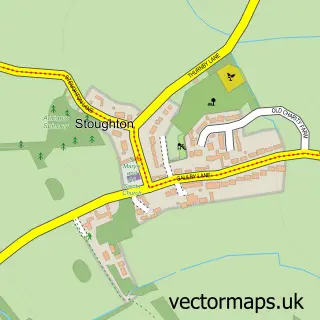
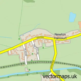
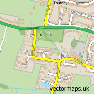
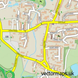
Nearby street map samples around Oadby

More street maps in Leicestershire
750 metre map area coverage
Boundary, postcode and point of interest information for the 750m x 750m rectangle centred on this sample map.
Boundaries containing map centre
Constituency: Harborough, Oadby and Wigston Co Const
County: Leicestershire County
District: Oadby and Wigston District (B)
Icb: NHS Leicester Leicestershire and Rutland ICB
Police Force: leicestershire
Postcode District: LE2
Postcode Sector: LE2 5
Ward: Oadby St. Peter's Ward
Nearby boundaries intersecting sample
Postcode Sector: LE2 4
Ward: Oadby Grange Ward, Oadby Uplands Ward
Postcode coverage
POI category counts
Beauty Salon: 10
Real Estate Agent: 9
Coffee Shop: 7
Hair Salon: 7
Professional Services: 7
Contractor: 6
Doctor: 6
Fast Food Restaurant: 6
Gym: 6
Indian Restaurant: 6
Sample points of interest
- Chetna Thanki Accountancy Services
- DR.TAX
- Fairfax Tax and Accounts
- HMD Chartered Accountants
- PKS Chartered Certified Accountants
- Sole to Soul
- Oadby: St Peter
- Age Concern
- The Neoknitting & Trims Co
- Bargain Buyz
- Creative Crafting World
- Mansfield House Police Station
Create a larger editable map of Oadby
This sample shows only a 750 metre area. To create a larger map of Oadby, use our map builder to choose your own coverage area, add titles and download editable SVG, PDF and PNG files.
Create a custom map of Oadby