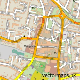
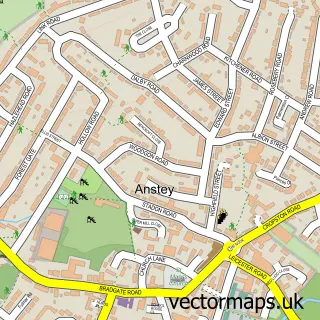
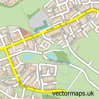
This Glenfield street map is a detailed vector street map covering a 750m x 750m area. Select a larger area to create and download your own vector street map of Glenfield.
The 750-metre map sample for Glenfield covers 402 mapped buildings and approximately 18.7 km of road detail, of which 32 named roads are named. The immediate area includes 1 school, 8 GP surgeries within 2 miles, 2 pubs and 1 MOT station, with 13 within 2 miles. The wider area around Glenfield features 1 tourism point of interest and 6 food and drink venues. To create a larger or custom map of Glenfield, the map builder lets you define your own coverage area and download editable SVG, PDF and PNG files.
Create a larger editable map of Glenfield
Choose any area you need and generate a high-quality vector map instantly. Perfect for print, planning, design, business and personal use.

This Glenfield street map in Leicestershire is available as downloadable SVG, PDF and PNG map files, or as a printed map for planning, business, display, education, local information and design work. You can also create a larger custom map area using the map selector.
What this Glenfield map sample shows
Glenfield lies within Glenfields Cp parish, part of Fairestone ward in the Blaby District local authority area. The postcode geography for this area includes the LE postcode area, the LE3 postcode district and the LE3 8 postcode sector. Residents fall under the Nhs Leicester, Leicestershire And Rutland Integrated Care Board for NHS services.
Local features near Glenfield
Within 2 milesAmenities and services in and around Glenfield.
Administrative and postcode information for Glenfield
The local authority covering Glenfield is Blaby District, within the county of Leicestershire. The settlement lies within Fairestone ward and Glenfields Cp civil parish. The LE3 postcode district and LE3 8 postcode sector serve the immediate area. NHS provision in the area is delivered through University Hospitals Of Leicester Nhs Trust.
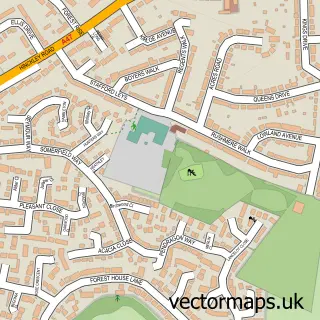
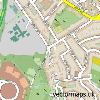
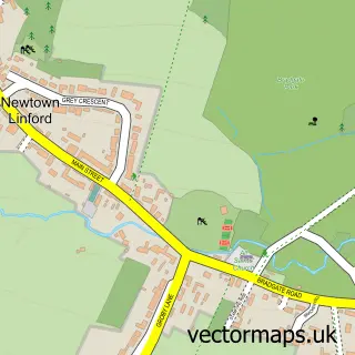
Nearby street map samples around Glenfield

More street maps in Leicestershire
750 metre map area coverage
Boundary, postcode and point of interest information for the 750m x 750m rectangle centred on this sample map.
Boundaries containing map centre
Constituency: Mid Leicestershire Co Const
County: Leicestershire County
District: Blaby District
Icb: NHS Leicester Leicestershire and Rutland ICB
Parish: Glenfields CP
Police Force: leicestershire
Postcode District: LE3
Postcode Sector: LE3 8
Ward: Glenfield Ellis Ward
Nearby boundaries intersecting sample
Ward: Glenfield Faire Ward
Postcode coverage
POI category counts
Beauty Salon: 5
Building Supply Store: 5
Education: 5
Contractor: 4
Travel Agents: 4
Business Consulting: 3
Employment Agencies: 3
Gym: 3
Hair Salon: 3
Information Technology Company: 3
Sample points of interest
- SRL Accountancy and Payroll Services
- Millennium Fit
- LadyLoving
- Chris Whitmore Associates
- Prestige Digital
- St Peter's Church
- St Peter's, Glenfield
- Praxis Care
- PayPoint
- Lloyd's Garage
- Santander
- Room of Doom
Create a larger editable map of Glenfield
This sample shows only a 750 metre area. To create a larger map of Glenfield, use our map builder to choose your own coverage area, add titles and download editable SVG, PDF and PNG files.
Create a custom map of Glenfield