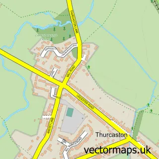
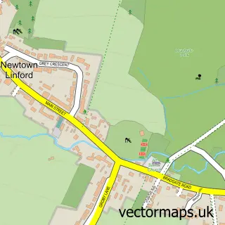
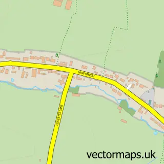
This Anstey street map is a detailed vector street map covering a 750m x 750m area. Select a larger area to create and download your own vector street map of Anstey.
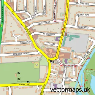
The 750-metre map sample for Anstey covers 590 mapped buildings and approximately 30.5 km of road detail, of which 44 named roads are named. The immediate area includes 1 school, 1 GP surgery, with 6 within 2 miles, 5 pubs and 1 MOT station, with 7 within 2 miles. The wider area around Anstey features 1 tourism point of interest and 10 food and drink venues. To create a larger or custom map of Anstey, the map builder lets you define your own coverage area and download editable SVG, PDF and PNG files.
Create a larger editable map of Anstey
Choose any area you need and generate a high-quality vector map instantly. Perfect for print, planning, design, business and personal use.

This Anstey street map in Leicestershire is available as downloadable SVG, PDF and PNG map files, or as a printed map for planning, business, display, education, local information and design work. You can also create a larger custom map area using the map selector.
What this Anstey map sample shows
Anstey lies within Anstey Cp parish, part of Anstey ward in the Charnwood District (B) local authority area. The postcode geography for this area includes the LE postcode area, the LE7 postcode district and the LE7 7 postcode sector. Residents fall under the Nhs Leicester, Leicestershire And Rutland Integrated Care Board for NHS services.
Local features near Anstey
Within 2 milesAmenities and services in and around Anstey.
Administrative and postcode information for Anstey
Anstey lies within Anstey Cp parish, part of Anstey ward in the Charnwood District (B) local authority area. The postcode geography for this area includes the LE postcode area, the LE7 postcode district and the LE7 7 postcode sector. Residents fall under the Nhs Leicester, Leicestershire And Rutland Integrated Care Board for NHS services.
Nearby street map samples around Anstey

More street maps in Leicestershire
750 metre map area coverage
Boundary, postcode and point of interest information for the 750m x 750m rectangle centred on this sample map.
Boundaries containing map centre
Constituency: Mid Leicestershire Co Const
County: Leicestershire County
District: Charnwood District (B)
Icb: NHS Leicester Leicestershire and Rutland ICB
Parish: Anstey CP
Police Force: leicestershire
Postcode District: LE7
Postcode Sector: LE7 7
Ward: Anstey Ward
Nearby boundaries intersecting sample
No additional intersecting boundaries found.
Postcode coverage
POI category counts
Beauty Salon: 5
Pub: 5
Church Cathedral: 4
Bakery: 3
Business Management Services: 3
Cafe: 3
Caterer: 3
Convenience Store: 3
Dentist: 3
Doctor: 3
Sample points of interest
- Hames Partnership Anstey Ltd.
- Rebecca Frances Accountancy
- European Safety Bureau
- Three Thinking
- Tigon
- Anstey: St Mary
- Keith Smith (Anstey) Ltd
- Anstey Home Crafts
- Charnwood Hearing Aid Centre
- Deputy Dosh Payday Loans
- Simon Shuttlewood
- Sturgess Hyundai Leicester
Create a larger editable map of Anstey
This sample shows only a 750 metre area. To create a larger map of Anstey, use our map builder to choose your own coverage area, add titles and download editable SVG, PDF and PNG files.
Create a custom map of Anstey