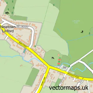
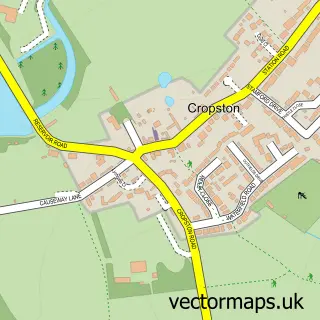
This Groby street map is a detailed vector street map covering a 750m x 750m area. Select a larger area to create and download your own vector street map of Groby.
The 750-metre map sample for Groby covers 681 mapped buildings and approximately 29.1 km of road detail, of which 45 named roads are named. The immediate area includes 1 school, 1 GP surgery, with 5 within 2 miles, 2 pubs and 6 MOT stations within 2 miles. The wider area around Groby features 1 tourism point of interest and 4 food and drink venues. To create a larger or custom map of Groby, the map builder lets you define your own coverage area and download editable SVG, PDF and PNG files.
Create a larger editable map of Groby
Choose any area you need and generate a high-quality vector map instantly. Perfect for print, planning, design, business and personal use.

This Groby street map in Leicestershire is available as downloadable SVG, PDF and PNG map files, or as a printed map for planning, business, display, education, local information and design work. You can also create a larger custom map area using the map selector.
What this Groby map sample shows
Groby lies within Groby Cp parish, part of Groby ward in the Hinckley And Bosworth District (B) local authority area. The postcode geography for this area includes the LE postcode area, the LE6 postcode district and the LE6 0 postcode sector. Residents fall under the Nhs Leicester, Leicestershire And Rutland Integrated Care Board for NHS services.
Local features near Groby
Within 2 milesAmenities and services in and around Groby.
Administrative and postcode information for Groby
Groby lies within Groby Cp parish, part of Groby ward in the Hinckley And Bosworth District (B) local authority area. The postcode geography for this area includes the LE postcode area, the LE6 postcode district and the LE6 0 postcode sector. Residents fall under the Nhs Leicester, Leicestershire And Rutland Integrated Care Board for NHS services.
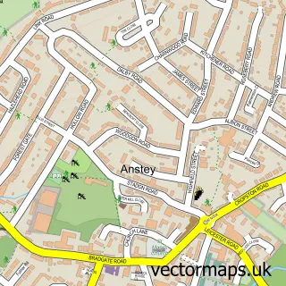
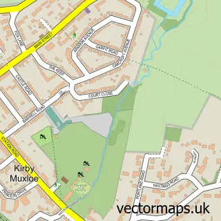
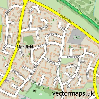
Nearby street map samples around Groby

More street maps in Leicestershire
750 metre map area coverage
Boundary, postcode and point of interest information for the 750m x 750m rectangle centred on this sample map.
Boundaries containing map centre
Constituency: Mid Leicestershire Co Const
County: Leicestershire County
District: Hinckley and Bosworth District (B)
Icb: NHS Leicester Leicestershire and Rutland ICB
Parish: Groby CP
Police Force: leicestershire
Postcode District: LE6
Postcode Sector: LE6 0
Ward: Groby Ward
Nearby boundaries intersecting sample
No additional intersecting boundaries found.
Postcode coverage
POI category counts
Convenience Store: 5
Package Locker: 3
Professional Services: 3
Atms: 2
Bar: 2
Beauty Salon: 2
Jewelry Store: 2
Photography Store And Services: 2
Pub: 2
Appliance Store: 1
Sample points of interest
- Martins Domestic Repairs
- A House to a Home - Drawing Solutions
- CBM Designs
- Central England Co-Op - Groby Village, Groby
- S Rowe Electrical
- Groby Garage
- Merrow Sales UK
- Nottingham Building Society
- Santander
- The Dickens Cider Hole
- The Groby Club
- Moose Haircutters
Create a larger editable map of Groby
This sample shows only a 750 metre area. To create a larger map of Groby, use our map builder to choose your own coverage area, add titles and download editable SVG, PDF and PNG files.
Create a custom map of Groby