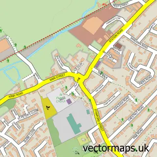
This Kirby Muxloe street map is a detailed vector street map covering a 750m x 750m area. Select a larger area to create and download your own vector street map of Kirby Muxloe.
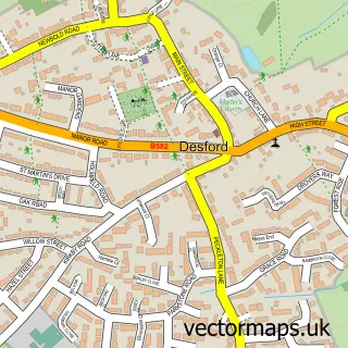
The 750-metre map sample for Kirby Muxloe covers 357 mapped buildings and approximately 16.9 km of road detail, of which 21 named roads are named. The immediate area includes 1 school, 5 GP surgeries within 2 miles, 1 pub and 9 MOT stations within 2 miles. The wider area around Kirby Muxloe features 1 tourism point of interest and 1 food and drink venue. To create a larger or custom map of Kirby Muxloe, the map builder lets you define your own coverage area and download editable SVG, PDF and PNG files.
Create a larger editable map of Kirby Muxloe
Choose any area you need and generate a high-quality vector map instantly. Perfect for print, planning, design, business and personal use.

This Kirby Muxloe street map in Leicestershire is available as downloadable SVG, PDF and PNG map files, or as a printed map for planning, business, display, education, local information and design work. You can also create a larger custom map area using the map selector.
What this Kirby Muxloe map sample shows
Kirby Muxloe lies within Kirby Muxloe Cp parish, part of Muxloe ward in the Blaby District local authority area. The postcode geography for this area includes the LE postcode area, the LE9 postcode district and the LE9 2 postcode sector. Residents fall under the Nhs Leicester, Leicestershire And Rutland Integrated Care Board for NHS services.
Local features near Kirby Muxloe
Within 2 milesAmenities and services in and around Kirby Muxloe.
Administrative and postcode information for Kirby Muxloe
The local authority covering Kirby Muxloe is Blaby District, within the county of Leicestershire. The settlement lies within Muxloe ward and Kirby Muxloe Cp civil parish. The LE9 postcode district and LE9 2 postcode sector serve the immediate area. NHS provision in the area is delivered through University Hospitals Of Leicester Nhs Trust.
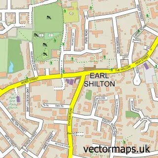
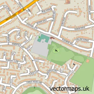
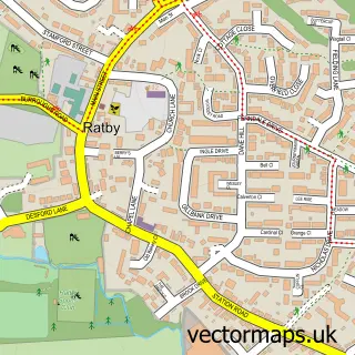
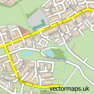
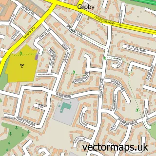
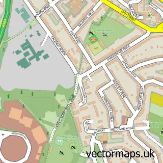
Nearby street map samples around Kirby Muxloe

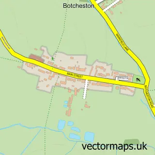
More street maps in Leicestershire
750 metre map area coverage
Boundary, postcode and point of interest information for the 750m x 750m rectangle centred on this sample map.
Boundaries containing map centre
Constituency: Mid Leicestershire Co Const
County: Leicestershire County
District: Blaby District
Icb: NHS Leicester Leicestershire and Rutland ICB
Parish: Kirby Muxloe CP
Police Force: leicestershire
Postcode District: LE9
Postcode Sector: LE9 2
Ward: Kirby Muxloe Ward
Nearby boundaries intersecting sample
No additional intersecting boundaries found.
Postcode coverage
POI category counts
Beauty Salon: 3
Elementary School: 3
Flowers And Gifts Shop: 3
Hair Salon: 3
Advertising Agency: 2
Books Mags Music And Video: 2
Gardener: 2
Gift Shop: 2
Art Gallery: 1
Arts And Entertainment: 1
Sample points of interest
- Mark Skinner Design
- Studio Photoset
- Helen Evans ART - Graphic Design
- Studio
- Haircut 2000
- Ada Aesthetics
- Ivy Beauty Aesthetics
- Skin & Body Treatments Clinic
- savvys bodysculpt
- Kirby Muxloe Post Office
- Post Office-Kirby Muxloe
- Castle Building Services
Create a larger editable map of Kirby Muxloe
This sample shows only a 750 metre area. To create a larger map of Kirby Muxloe, use our map builder to choose your own coverage area, add titles and download editable SVG, PDF and PNG files.
Create a custom map of Kirby Muxloe