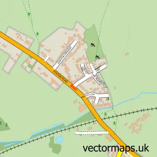
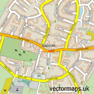
This Earl Shilton street map is a detailed vector street map covering a 750m x 750m area. Select a larger area to create and download your own vector street map of Earl Shilton.
The 750-metre map sample for Earl Shilton covers 562 mapped buildings and approximately 30.9 km of road detail, of which 47 named roads are named. The immediate area includes 2 GP surgeries within 2 miles, 5 pubs and 9 MOT stations within 2 miles. The wider area around Earl Shilton features 2 tourism points of interest, 11 food and drink venues and 2 hotels. To create a larger or custom map of Earl Shilton, the map builder lets you define your own coverage area and download editable SVG, PDF and PNG files.
Create a larger editable map of Earl Shilton
Choose any area you need and generate a high-quality vector map instantly. Perfect for print, planning, design, business and personal use.

This Earl Shilton street map in Leicestershire is available as downloadable SVG, PDF and PNG map files, or as a printed map for planning, business, display, education, local information and design work. You can also create a larger custom map area using the map selector.
What this Earl Shilton map sample shows
Earl Shilton lies within Earl Shilton Cp parish, part of Earl Shilton ward in the Hinckley And Bosworth District (B) local authority area. The postcode geography for this area includes the LE postcode area, the LE9 postcode district and the LE9 7 postcode sector. Residents fall under the Nhs Leicester, Leicestershire And Rutland Integrated Care Board for NHS services.
Local features near Earl Shilton
Within 2 milesAmenities and services in and around Earl Shilton.
Administrative and postcode information for Earl Shilton
Earl Shilton lies within Earl Shilton Cp parish, part of Earl Shilton ward in the Hinckley And Bosworth District (B) local authority area. The postcode geography for this area includes the LE postcode area, the LE9 postcode district and the LE9 7 postcode sector. Residents fall under the Nhs Leicester, Leicestershire And Rutland Integrated Care Board for NHS services.
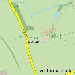
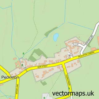
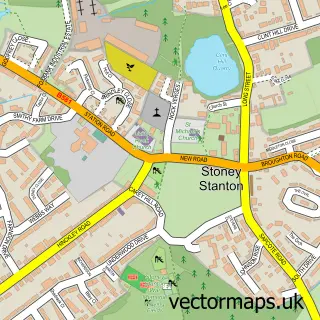
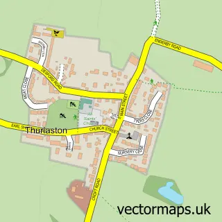
Nearby street map samples around Earl Shilton

More street maps in Leicestershire
750 metre map area coverage
Boundary, postcode and point of interest information for the 750m x 750m rectangle centred on this sample map.
Boundaries containing map centre
Constituency: Hinckley and Bosworth Co Const
County: Leicestershire County
District: Hinckley and Bosworth District (B)
Icb: NHS Leicester Leicestershire and Rutland ICB
Parish: Earl Shilton CP
Police Force: leicestershire
Postcode District: LE9
Postcode Sector: LE9 7
Ward: Earl Shilton Ward
Nearby boundaries intersecting sample
No additional intersecting boundaries found.
Postcode coverage
POI category counts
Beauty Salon: 6
Professional Services: 5
Pub: 5
Fast Food Restaurant: 4
Hair Salon: 4
Building Supply Store: 3
Chinese Restaurant: 3
Church Cathedral: 3
Convenience Store: 3
Electrician: 3
Sample points of interest
- Buccaneer Distributions
- Pink Ladybird Crafts
- Ivydene
- The Cooperative Food (BF) Earl Shilton
- The Motorist Centre
- Tower garage
- InstaVolt Charging Station
- Gamma Hose Ltd.
- Nationwide Building Society
- NatWest
- Nationwide
- Fernleighs
Create a larger editable map of Earl Shilton
This sample shows only a 750 metre area. To create a larger map of Earl Shilton, use our map builder to choose your own coverage area, add titles and download editable SVG, PDF and PNG files.
Create a custom map of Earl Shilton