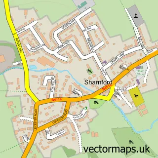
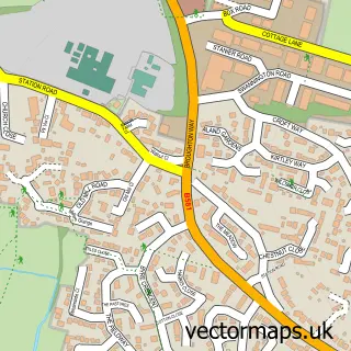
This Sapcote street map is a detailed vector street map covering a 750m x 750m area. Select a larger area to create and download your own vector street map of Sapcote.
The 750-metre map sample for Sapcote covers 589 mapped buildings and approximately 33.0 km of road detail, of which 39 named roads are named. The immediate area includes 1 school, 1 GP surgery within 2 miles, 2 pubs and 3 MOT stations within 2 miles. The wider area around Sapcote features 2 food and drink venues and 1 campsite within 2 miles. To create a larger or custom map of Sapcote, the map builder lets you define your own coverage area and download editable SVG, PDF and PNG files.
Create a larger editable map of Sapcote
Choose any area you need and generate a high-quality vector map instantly. Perfect for print, planning, design, business and personal use.

This Sapcote street map in Leicestershire is available as downloadable SVG, PDF and PNG map files, or as a printed map for planning, business, display, education, local information and design work. You can also create a larger custom map area using the map selector.
What this Sapcote map sample shows
Sapcote lies within Sapcote Cp parish, part of Stanton And Flamville ward in the Blaby District local authority area. The postcode geography for this area includes the LE postcode area, the LE9 postcode district and the LE9 4 postcode sector. Residents fall under the Nhs Leicester, Leicestershire And Rutland Integrated Care Board for NHS services.
Local features near Sapcote
Within 2 milesAmenities and services in and around Sapcote.
Administrative and postcode information for Sapcote
Sapcote lies within Sapcote Cp parish, part of Stanton And Flamville ward in the Blaby District local authority area. The postcode geography for this area includes the LE postcode area, the LE9 postcode district and the LE9 4 postcode sector. Residents fall under the Nhs Leicester, Leicestershire And Rutland Integrated Care Board for NHS services.
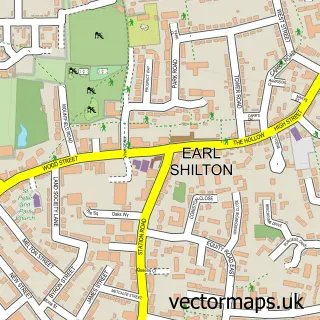
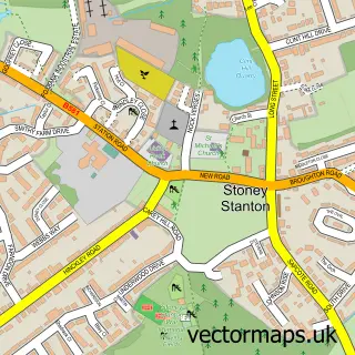
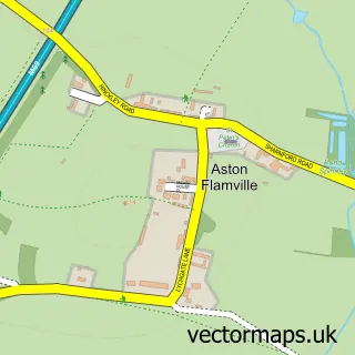
Nearby street map samples around Sapcote

More street maps in Leicestershire
750 metre map area coverage
Boundary, postcode and point of interest information for the 750m x 750m rectangle centred on this sample map.
Boundaries containing map centre
Constituency: South Leicestershire Co Const
County: Leicestershire County
District: Blaby District
Icb: NHS Leicester Leicestershire and Rutland ICB
Parish: Sapcote CP
Police Force: leicestershire
Postcode District: LE9
Postcode Sector: LE9 4
Ward: Fosse Highcross Ward
Nearby boundaries intersecting sample
No additional intersecting boundaries found.
Postcode coverage
POI category counts
Beauty Salon: 3
Building Supply Store: 3
Contractor: 2
Hair Salon: 2
Newspaper And Magazines Store: 2
Plumbing: 2
Pub: 2
Retail: 2
Anglican Church: 1
Automotive Parts And Accessories: 1
Sample points of interest
- Sapcote: All Saints
- Johns Motorcare Supplies
- RF Automotive
- Ellce Hair
- Casa Bella Beauty Salon
- Scarlet Rose Beauty
- Zoe Hines
- Willowmead
- Katie's Brilliant Bookshelf
- Jones Bridge, Binondo
- CGM Solutions
- Grassmead Garden Services
Create a larger editable map of Sapcote
This sample shows only a 750 metre area. To create a larger map of Sapcote, use our map builder to choose your own coverage area, add titles and download editable SVG, PDF and PNG files.
Create a custom map of Sapcote