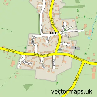
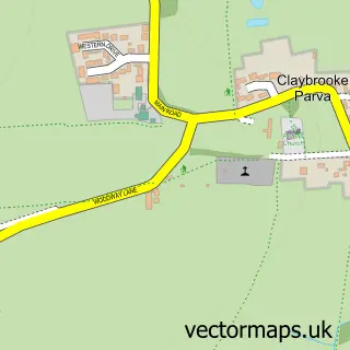
This Frolesworth street map is a detailed vector street map covering a 750m x 750m area. Select a larger area to create and download your own vector street map of Frolesworth.
The 750-metre map sample for Frolesworth covers 118 mapped buildings and approximately 15.5 km of road detail, of which 5 named roads are named. The immediate area includes 1 school, 1 GP surgery within 2 miles and 4 MOT stations within 2 miles. To create a larger or custom map of Frolesworth, the map builder lets you define your own coverage area and download editable SVG, PDF and PNG files.
Create a larger editable map of Frolesworth
Choose any area you need and generate a high-quality vector map instantly. Perfect for print, planning, design, business and personal use.

This Frolesworth street map in Leicestershire is available as downloadable SVG, PDF and PNG map files, or as a printed map for planning, business, display, education, local information and design work. You can also create a larger custom map area using the map selector.
What this Frolesworth map sample shows
Frolesworth lies within Frolesworth Cp parish, part of Ullesthorpe ward in the Harborough District local authority area. The postcode geography for this area includes the LE postcode area, the LE17 postcode district and the LE17 5 postcode sector. Residents fall under the Nhs Leicester, Leicestershire And Rutland Integrated Care Board for NHS services.
Local features near Frolesworth
Within 2 milesAmenities and services in and around Frolesworth.
Administrative and postcode information for Frolesworth
The local authority covering Frolesworth is Harborough District, within the county of Leicestershire. The settlement lies within Ullesthorpe ward and Frolesworth Cp civil parish. The LE17 postcode district and LE17 5 postcode sector serve the immediate area. NHS provision in the area is delivered through University Hospitals Of Leicester Nhs Trust.
Nearby street map samples around Frolesworth


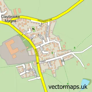
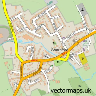
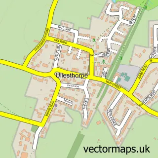
More street maps in Leicestershire
750 metre map area coverage
Boundary, postcode and point of interest information for the 750m x 750m rectangle centred on this sample map.
Boundaries containing map centre
Constituency: South Leicestershire Co Const
County: Leicestershire County
District: Harborough District
Icb: NHS Leicester Leicestershire and Rutland ICB
Parish: Frolesworth CP
Police Force: leicestershire
Postcode District: LE17
Postcode Sector: LE17 5
Ward: Ullesthorpe Ward
Nearby boundaries intersecting sample
No additional intersecting boundaries found.
Postcode coverage
POI category counts
Advertising Agency: 2
Beauty Salon: 2
Anglican Church: 1
Building Supply Store: 1
Event Technology Service: 1
Gym: 1
Hair Salon: 1
It Service And Computer Repair: 1
Osteopathic Physician: 1
Yoga Studio: 1
Sample points of interest
- A N Q
- W4D (Web4Design)
- Frolesworth: St Nicholas
- Skin Deep Aesthetics - HIFU Clinic
- The Barn Beauty
- O D Projects
- Kingsmead Marquees
- The Studio.
- The Barn Hairdressing
- Web4design
- Serenity Osteopathy
- Rose Yoga
Create a larger editable map of Frolesworth
This sample shows only a 750 metre area. To create a larger map of Frolesworth, use our map builder to choose your own coverage area, add titles and download editable SVG, PDF and PNG files.
Create a custom map of Frolesworth