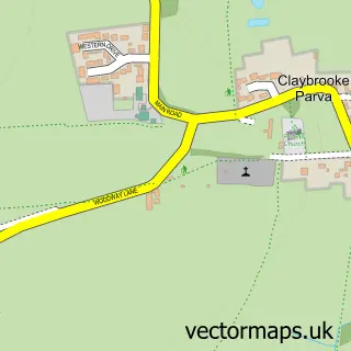
This Claybrooke Magna street map is a detailed vector street map covering a 750m x 750m area. Select a larger area to create and download your own vector street map of Claybrooke Magna.
The 750-metre map sample for Claybrooke Magna covers 219 mapped buildings and approximately 18.5 km of road detail, of which 15 named roads are named. The immediate area includes 2 pubs and 1 MOT station within 2 miles. The wider area around Claybrooke Magna features 2 food and drink venues. To create a larger or custom map of Claybrooke Magna, the map builder lets you define your own coverage area and download editable SVG, PDF and PNG files.
Create a larger editable map of Claybrooke Magna
Choose any area you need and generate a high-quality vector map instantly. Perfect for print, planning, design, business and personal use.

This Claybrooke Magna street map in Leicestershire is available as downloadable SVG, PDF and PNG map files, or as a printed map for planning, business, display, education, local information and design work. You can also create a larger custom map area using the map selector.
What this Claybrooke Magna map sample shows
Claybrooke Magna lies within Claybrooke Magna Cp parish, part of Ullesthorpe ward in the Harborough District local authority area. The postcode geography for this area includes the LE postcode area, the LE17 postcode district and the LE17 5 postcode sector. Residents fall under the Nhs Leicester, Leicestershire And Rutland Integrated Care Board for NHS services.
Local features near Claybrooke Magna
Within 2 milesAmenities and services in and around Claybrooke Magna.
Administrative and postcode information for Claybrooke Magna
Claybrooke Magna lies within Claybrooke Magna Cp parish, part of Ullesthorpe ward in the Harborough District local authority area. The postcode geography for this area includes the LE postcode area, the LE17 postcode district and the LE17 5 postcode sector. Residents fall under the Nhs Leicester, Leicestershire And Rutland Integrated Care Board for NHS services.
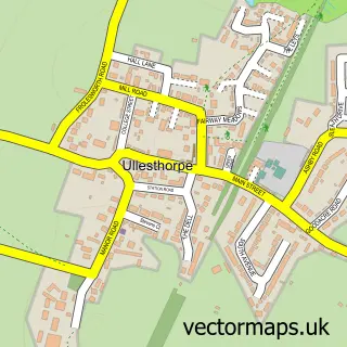
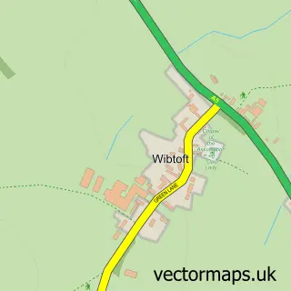
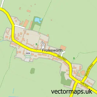
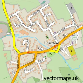
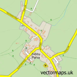
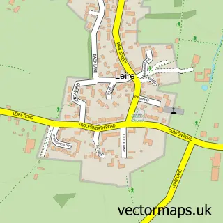
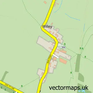
Nearby street map samples around Claybrooke Magna


More street maps in Leicestershire
750 metre map area coverage
Boundary, postcode and point of interest information for the 750m x 750m rectangle centred on this sample map.
Boundaries containing map centre
Constituency: South Leicestershire Co Const
County: Leicestershire County
District: Harborough District
Icb: NHS Leicester Leicestershire and Rutland ICB
Parish: Claybrooke Magna CP
Police Force: leicestershire
Postcode District: LE17
Postcode Sector: LE17 5
Ward: Ullesthorpe Ward
Nearby boundaries intersecting sample
Parish: Claybrooke Parva CP
Postcode coverage
POI category counts
Pub: 2
Advertising Agency: 1
Appliance Manufacturer: 1
Furniture Manufacturers: 1
Garbage Collection Service: 1
Home Service: 1
Information Technology Company: 1
It Service And Computer Repair: 1
Lumber Store: 1
Pet Store: 1
Sample points of interest
- Work Your Words Copywriting
- Timbermaster
- Headboards by Design
- Low Cost Waste
- LC Waste
- RR Webdesign
- CSH Computer Services
- Whitmore's Timber Co. Ltd
- Claybrooke Animal Feeds Ltd
- Pig in Muck
- The Shambles Inn
- Easi-Store
Create a larger editable map of Claybrooke Magna
This sample shows only a 750 metre area. To create a larger map of Claybrooke Magna, use our map builder to choose your own coverage area, add titles and download editable SVG, PDF and PNG files.
Create a custom map of Claybrooke Magna