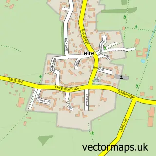
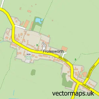
This Ashby Parva street map is a detailed vector street map covering a 750m x 750m area. Select a larger area to create and download your own vector street map of Ashby Parva.
The 750-metre map sample for Ashby Parva covers 120 mapped buildings and approximately 37.9 km of road detail, of which 8 named roads are named. The immediate area includes 1 pub and 1 MOT station. The wider area around Ashby Parva features 1 food and drink venue. To create a larger or custom map of Ashby Parva, the map builder lets you define your own coverage area and download editable SVG, PDF and PNG files.
Create a larger editable map of Ashby Parva
Choose any area you need and generate a high-quality vector map instantly. Perfect for print, planning, design, business and personal use.

This Ashby Parva street map in Leicestershire is available as downloadable SVG, PDF and PNG map files, or as a printed map for planning, business, display, education, local information and design work. You can also create a larger custom map area using the map selector.
What this Ashby Parva map sample shows
Ashby Parva lies within Ashby Parva Cp parish, part of Ullesthorpe ward in the Harborough District local authority area. The postcode geography for this area includes the LE postcode area, the LE17 postcode district and the LE17 5 postcode sector. Residents fall under the Nhs Leicester, Leicestershire And Rutland Integrated Care Board for NHS services.
Local features near Ashby Parva
Within 2 milesAmenities and services in and around Ashby Parva.
Administrative and postcode information for Ashby Parva
The local authority covering Ashby Parva is Harborough District, within the county of Leicestershire. The settlement lies within Ullesthorpe ward and Ashby Parva Cp civil parish. The LE17 postcode district and LE17 5 postcode sector serve the immediate area. NHS provision in the area is delivered through University Hospitals Of Leicester Nhs Trust.
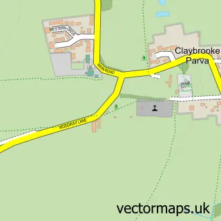
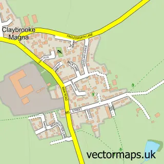
Nearby street map samples around Ashby Parva


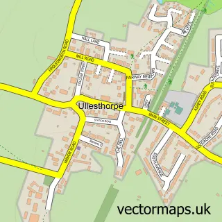
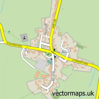
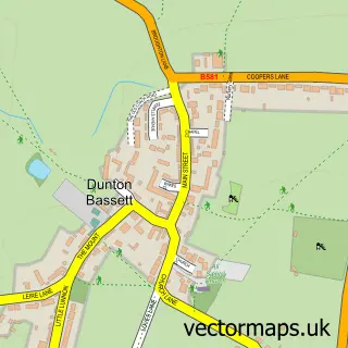
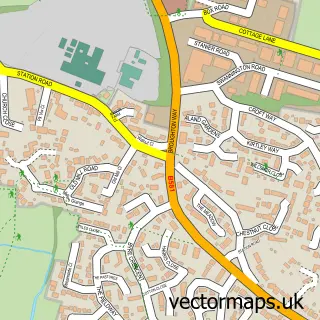
More street maps in Leicestershire
750 metre map area coverage
Boundary, postcode and point of interest information for the 750m x 750m rectangle centred on this sample map.
Boundaries containing map centre
Constituency: South Leicestershire Co Const
County: Leicestershire County
District: Harborough District
Icb: NHS Leicester Leicestershire and Rutland ICB
Parish: Ashby Parva CP
Police Force: leicestershire
Postcode District: LE17
Postcode Sector: LE17 5
Ward: Ullesthorpe Ward
Nearby boundaries intersecting sample
No additional intersecting boundaries found.
Postcode coverage
POI category counts
Equestrian Facility: 2
Active Life: 1
Anglican Church: 1
Automotive Repair: 1
Butcher Shop: 1
Community Center: 1
Gardener: 1
Preschool: 1
Professional Services: 1
Pub: 1
Sample points of interest
- KSM Sport Horses & Ponies
- Ashby Parva: St Peter
- Ashby Garage
- Grazers of Ashby Parva
- Ashby Parva Village Hall
- Kristy's Embroideries
- Kristy's Embroideries
- Home Roots Property and Garden Services
- Ashby Parva Preschool
- Frolesworth Village Hall Committee
- The Hollybush
Create a larger editable map of Ashby Parva
This sample shows only a 750 metre area. To create a larger map of Ashby Parva, use our map builder to choose your own coverage area, add titles and download editable SVG, PDF and PNG files.
Create a custom map of Ashby Parva