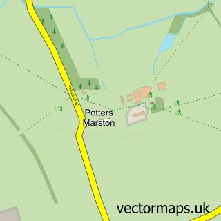
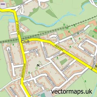
This Elmesthorpe street map is a detailed vector street map covering a 750m x 750m area. Select a larger area to create and download your own vector street map of Elmesthorpe.
The 750-metre map sample for Elmesthorpe covers 134 mapped buildings and approximately 14.3 km of road detail, of which 8 named roads are named. The immediate area includes 3 GP surgeries within 2 miles, 3 pubs and 10 MOT stations within 2 miles. The wider area around Elmesthorpe features 3 food and drink venues, 1 hotel and 1 campsite within 2 miles. To create a larger or custom map of Elmesthorpe, the map builder lets you define your own coverage area and download editable SVG, PDF and PNG files.
Create a larger editable map of Elmesthorpe
Choose any area you need and generate a high-quality vector map instantly. Perfect for print, planning, design, business and personal use.

This Elmesthorpe street map in Leicestershire is available as downloadable SVG, PDF and PNG map files, or as a printed map for planning, business, display, education, local information and design work. You can also create a larger custom map area using the map selector.
What this Elmesthorpe map sample shows
Elmesthorpe lies within Elmesthorpe Cp parish, part of Croft Hill ward in the Blaby District local authority area. The postcode geography for this area includes the LE postcode area, the LE9 postcode district and the LE9 7 postcode sector. Residents fall under the Nhs Leicester, Leicestershire And Rutland Integrated Care Board for NHS services.
Local features near Elmesthorpe
Within 2 milesAmenities and services in and around Elmesthorpe.
Administrative and postcode information for Elmesthorpe
Elmesthorpe lies within Elmesthorpe Cp parish, part of Croft Hill ward in the Blaby District local authority area. The postcode geography for this area includes the LE postcode area, the LE9 postcode district and the LE9 7 postcode sector. Residents fall under the Nhs Leicester, Leicestershire And Rutland Integrated Care Board for NHS services.
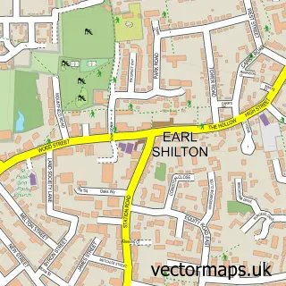
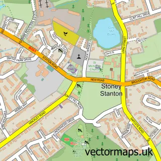
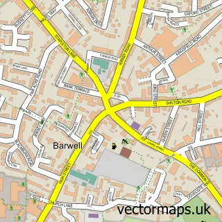
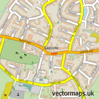
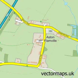
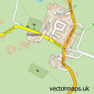
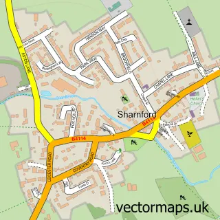
Nearby street map samples around Elmesthorpe

More street maps in Leicestershire
750 metre map area coverage
Boundary, postcode and point of interest information for the 750m x 750m rectangle centred on this sample map.
Boundaries containing map centre
Constituency: South Leicestershire Co Const
County: Leicestershire County
District: Blaby District
Icb: NHS Leicester Leicestershire and Rutland ICB
Parish: Elmesthorpe CP
Police Force: leicestershire
Postcode District: LE9
Postcode Sector: LE9 7
Ward: Fosse Highcross Ward
Nearby boundaries intersecting sample
Constituency: Hinckley and Bosworth Co Const
District: Hinckley and Bosworth District (B)
Parish: Earl Shilton CP
Ward: Earl Shilton Ward
Postcode coverage
POI category counts
Pub: 3
Contractor: 2
Masonry Concrete: 2
Bakery: 1
Carpenter: 1
Catholic Church: 1
Driving School: 1
Home Improvement Store: 1
Hotel: 1
Naturopathic Holistic: 1
Sample points of interest
- Homemade By Linda
- Future Fencing Supplies
- St Mary's Church, Elmesthorpe
- Floaters Plastering Services
- Future Fencing Supplies - Elmesthorpe & Hinckley
- Tony's Driving School
- Weightmans Skip Hire
- Badgers Mount
- Concrete Placement (TL Products Ltd.)
- TL Products Ltd. (Concrete Placement)
- Sarah Naffine Therapy
- The Wentworth Arms
Create a larger editable map of Elmesthorpe
This sample shows only a 750 metre area. To create a larger map of Elmesthorpe, use our map builder to choose your own coverage area, add titles and download editable SVG, PDF and PNG files.
Create a custom map of Elmesthorpe