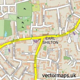
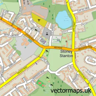
This Barwell street map is a detailed vector street map covering a 750m x 750m area. Select a larger area to create and download your own vector street map of Barwell.
The 750-metre map sample for Barwell covers 542 mapped buildings and approximately 37.8 km of road detail, of which 55 named roads are named. The immediate area includes 2 schools, 1 GP surgery, with 2 within 2 miles, 6 pubs and 1 MOT station, with 17 within 2 miles. The wider area around Barwell features 2 tourism points of interest and 11 food and drink venues. To create a larger or custom map of Barwell, the map builder lets you define your own coverage area and download editable SVG, PDF and PNG files.
Create a larger editable map of Barwell
Choose any area you need and generate a high-quality vector map instantly. Perfect for print, planning, design, business and personal use.

This Barwell street map in Leicestershire is available as downloadable SVG, PDF and PNG map files, or as a printed map for planning, business, display, education, local information and design work. You can also create a larger custom map area using the map selector.
What this Barwell map sample shows
Barwell lies within Barwell Cp parish, part of Barwell ward in the Hinckley And Bosworth District (B) local authority area. The postcode geography for this area includes the LE postcode area, the LE9 postcode district and the LE9 8 postcode sector. Residents fall under the Nhs Leicester, Leicestershire And Rutland Integrated Care Board for NHS services.
Local features near Barwell
Within 2 milesAmenities and services in and around Barwell.
Administrative and postcode information for Barwell
Barwell lies within Barwell Cp parish, part of Barwell ward in the Hinckley And Bosworth District (B) local authority area. The postcode geography for this area includes the LE postcode area, the LE9 postcode district and the LE9 8 postcode sector. Residents fall under the Nhs Leicester, Leicestershire And Rutland Integrated Care Board for NHS services.
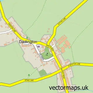
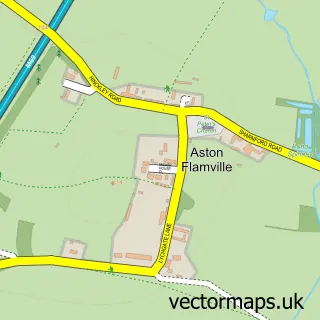
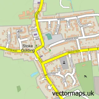
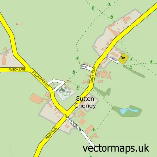
Nearby street map samples around Barwell

More street maps in Leicestershire
750 metre map area coverage
Boundary, postcode and point of interest information for the 750m x 750m rectangle centred on this sample map.
Boundaries containing map centre
Constituency: Hinckley and Bosworth Co Const
County: Leicestershire County
District: Hinckley and Bosworth District (B)
Icb: NHS Leicester Leicestershire and Rutland ICB
Parish: Barwell CP
Police Force: leicestershire
Postcode District: LE9
Postcode Sector: LE9 8
Ward: Barwell Ward
Nearby boundaries intersecting sample
No additional intersecting boundaries found.
Postcode coverage
POI category counts
Pub: 6
Beauty Salon: 5
Automotive Repair: 4
Building Supply Store: 4
Contractor: 4
Convenience Store: 4
Hair Salon: 4
Advertising Agency: 3
Beauty And Spa: 3
Cafe: 3
Sample points of interest
- Arden Direct Digital
- Arden Direct Marketing
- Racehorse Advertiser
- Jackdaw First Aid Training
- The Small Pet Rescue
- Barwell Bodyworks
- The Art of Pam Brown
- Minster Care Group
- Heart of England Co-operative Barwell, Malt Mill Bank
- Allied Automotive
- Recon Calipers
- Brake Caliper Solutions Ltd.
Create a larger editable map of Barwell
This sample shows only a 750 metre area. To create a larger map of Barwell, use our map builder to choose your own coverage area, add titles and download editable SVG, PDF and PNG files.
Create a custom map of Barwell