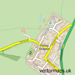
This Stoke Golding street map is a detailed vector street map covering a 750m x 750m area. Select a larger area to create and download your own vector street map of Stoke Golding.
The 750-metre map sample for Stoke Golding covers 399 mapped buildings and approximately 22.4 km of road detail, of which 24 named roads are named. The immediate area includes 1 school, 4 pubs and 2 MOT stations within 2 miles. The wider area around Stoke Golding features 1 tourism point of interest and 6 food and drink venues. To create a larger or custom map of Stoke Golding, the map builder lets you define your own coverage area and download editable SVG, PDF and PNG files.
Create a larger editable map of Stoke Golding
Choose any area you need and generate a high-quality vector map instantly. Perfect for print, planning, design, business and personal use.

This Stoke Golding street map in Leicestershire is available as downloadable SVG, PDF and PNG map files, or as a printed map for planning, business, display, education, local information and design work. You can also create a larger custom map area using the map selector.
What this Stoke Golding map sample shows
Stoke Golding lies within Stoke Golding Cp parish, part of Ambien ward in the Hinckley And Bosworth District (B) local authority area. The postcode geography for this area includes the CV postcode area, the CV13 postcode district and the CV13 6 postcode sector. Residents fall under the Nhs Leicester, Leicestershire And Rutland Integrated Care Board for NHS services.
Local features near Stoke Golding
Within 2 milesAmenities and services in and around Stoke Golding.
Administrative and postcode information for Stoke Golding
The local authority covering Stoke Golding is Hinckley And Bosworth District (B), within the county of Leicestershire. The settlement lies within Ambien ward and Stoke Golding Cp civil parish. The CV13 postcode district and CV13 6 postcode sector serve the immediate area. NHS provision in the area is delivered through George Eliot Hospital Nhs Trust.
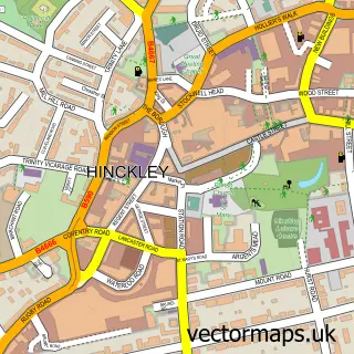
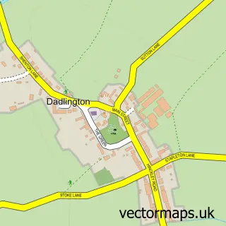
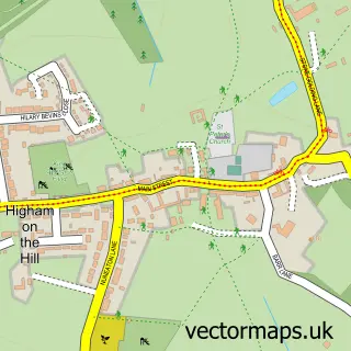
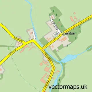
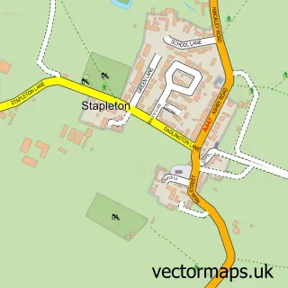
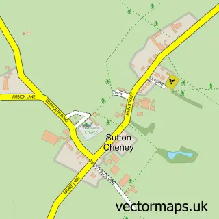
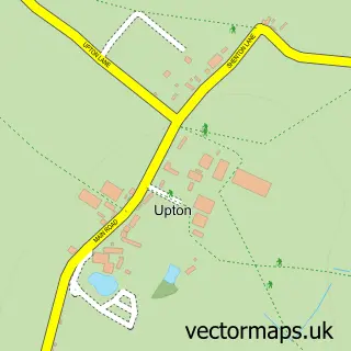
Nearby street map samples around Stoke Golding

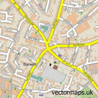
More street maps in Leicestershire
750 metre map area coverage
Boundary, postcode and point of interest information for the 750m x 750m rectangle centred on this sample map.
Boundaries containing map centre
Constituency: Hinckley and Bosworth Co Const
County: Leicestershire County
District: Hinckley and Bosworth District (B)
Icb: NHS Leicester Leicestershire and Rutland ICB
Parish: Stoke Golding CP
Police Force: leicestershire
Postcode District: CV13
Postcode Sector: CV13 6
Ward: Ambien Ward
Nearby boundaries intersecting sample
No additional intersecting boundaries found.
Postcode coverage
POI category counts
Pub: 4
Cleaning Services: 2
Community Center: 2
Dance School: 2
Elementary School: 2
Furniture Store: 2
Post Office: 2
Anglican Church: 1
Automotive Repair: 1
Beauty Salon: 1
Sample points of interest
- St Margaret's Church, Stoke Golding
- Theairbagshop
- Hair & Beauty Lounge
- Bicycle Repair Bloke
- Illumin8 Productions
- Fence Man John
- Graham Vallis Associates
- Autowash Engineering
- St. Margarets C.E. Primary School Stoke Golding
- Mayne Sales & Services
- The Carpet Man
- Roast & Radish
Create a larger editable map of Stoke Golding
This sample shows only a 750 metre area. To create a larger map of Stoke Golding, use our map builder to choose your own coverage area, add titles and download editable SVG, PDF and PNG files.
Create a custom map of Stoke Golding