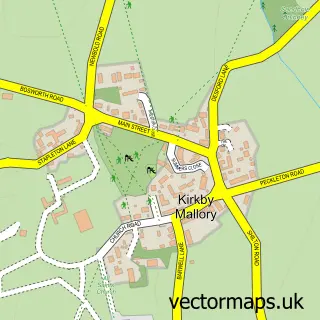
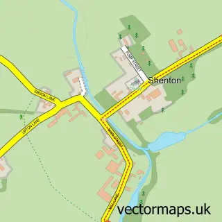
This Stapleton street map is a detailed vector street map covering a 750m x 750m area. Select a larger area to create and download your own vector street map of Stapleton.
The 750-metre map sample for Stapleton covers 164 mapped buildings and approximately 18.1 km of road detail, of which 13 named roads are named. The immediate area includes 1 school, 2 GP surgeries within 2 miles and 8 MOT stations within 2 miles. The wider area around Stapleton features 1 tourism point of interest and 1 food and drink venue. To create a larger or custom map of Stapleton, the map builder lets you define your own coverage area and download editable SVG, PDF and PNG files.
Create a larger editable map of Stapleton
Choose any area you need and generate a high-quality vector map instantly. Perfect for print, planning, design, business and personal use.

This Stapleton street map in Leicestershire is available as downloadable SVG, PDF and PNG map files, or as a printed map for planning, business, display, education, local information and design work. You can also create a larger custom map area using the map selector.
What this Stapleton map sample shows
Stapleton lies within Kirkby Mallory, Peckleton & Stapleton Cp parish, part of Newbold Verdon With Desford And Peckleton ward in the Hinckley And Bosworth District (B) local authority area. The postcode geography for this area includes the LE postcode area, the LE9 postcode district and the LE9 8 postcode sector. Residents fall under the Nhs Leicester, Leicestershire And Rutland Integrated Care Board for NHS services.
Local features near Stapleton
Within 2 milesAmenities and services in and around Stapleton.
Administrative and postcode information for Stapleton
The local authority covering Stapleton is Hinckley And Bosworth District (B), within the county of Leicestershire. The settlement lies within Newbold Verdon With Desford And Peckleton ward and Kirkby Mallory, Peckleton & Stapleton Cp civil parish. The LE9 postcode district and LE9 8 postcode sector serve the immediate area. NHS provision in the area is delivered through University Hospitals Of Leicester Nhs Trust.
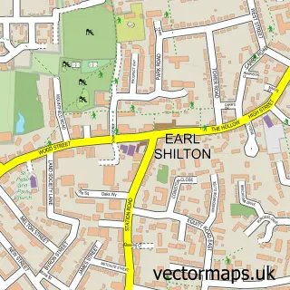
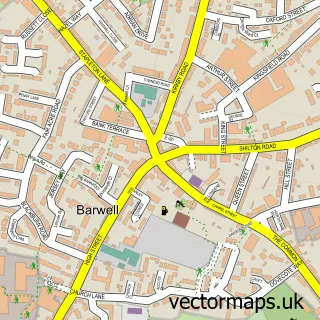
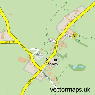
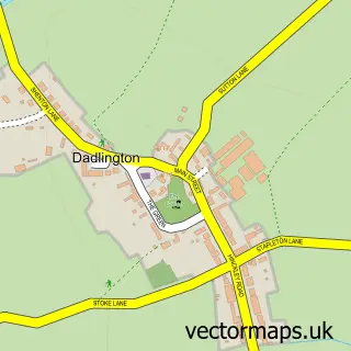
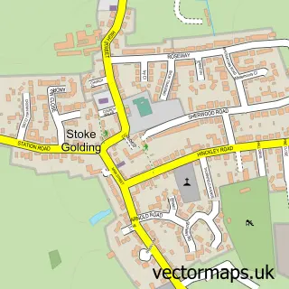
Nearby street map samples around Stapleton

More street maps in Leicestershire
750 metre map area coverage
Boundary, postcode and point of interest information for the 750m x 750m rectangle centred on this sample map.
Boundaries containing map centre
Constituency: Hinckley and Bosworth Co Const
County: Leicestershire County
District: Hinckley and Bosworth District (B)
Icb: NHS Leicester Leicestershire and Rutland ICB
Parish: Kirkby Mallory, Peckleton & Stapleton CP
Police Force: leicestershire
Postcode District: LE9
Postcode Sector: LE9 8
Ward: Newbold Verdon with Desford and Peckleton Ward
Nearby boundaries intersecting sample
Parish: Barwell CP
Ward: Barwell Ward
Postcode coverage
POI category counts
Freight And Cargo Service: 2
Anglican Church: 1
Appliance Repair Service: 1
Appliance Store: 1
Automotive Services And Repair: 1
Cricket Ground: 1
Flowers And Gifts Shop: 1
Medical Center: 1
Medical Spa: 1
Park: 1
Sample points of interest
- Stapleton: St Martin
- ASAP Domestic Appliances
- A.s.a.p
- Jade Developments
- Stapleton Cricket Club
- The Garden Rose
- Coventry Reefers
- Crl
- Younger U Aesthetics
- Younger U Aesthetics
- Green Space Leisure Ltd
- Ashby Rose
Create a larger editable map of Stapleton
This sample shows only a 750 metre area. To create a larger map of Stapleton, use our map builder to choose your own coverage area, add titles and download editable SVG, PDF and PNG files.
Create a custom map of Stapleton