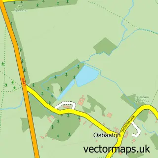
This Kirkby Mallory street map is a detailed vector street map covering a 750m x 750m area. Select a larger area to create and download your own vector street map of Kirkby Mallory.
The 750-metre map sample for Kirkby Mallory covers 149 mapped buildings and approximately 17.9 km of road detail, of which 12 named roads are named. The immediate area includes 1 GP surgery within 2 miles and 2 MOT stations within 2 miles. The wider area around Kirkby Mallory features 1 tourism point of interest and 2 hotels. To create a larger or custom map of Kirkby Mallory, the map builder lets you define your own coverage area and download editable SVG, PDF and PNG files.
Create a larger editable map of Kirkby Mallory
Choose any area you need and generate a high-quality vector map instantly. Perfect for print, planning, design, business and personal use.

This Kirkby Mallory street map in Leicestershire is available as downloadable SVG, PDF and PNG map files, or as a printed map for planning, business, display, education, local information and design work. You can also create a larger custom map area using the map selector.
What this Kirkby Mallory map sample shows
Kirkby Mallory lies within Kirkby Mallory, Peckleton & Stapleton Cp parish, part of Newbold Verdon With Desford And Peckleton ward in the Hinckley And Bosworth District (B) local authority area. The postcode geography for this area includes the LE postcode area, the LE9 postcode district and the LE9 7 postcode sector. Residents fall under the Nhs Leicester, Leicestershire And Rutland Integrated Care Board for NHS services.
Local features near Kirkby Mallory
Within 2 milesAmenities and services in and around Kirkby Mallory.
Administrative and postcode information for Kirkby Mallory
Kirkby Mallory lies within Kirkby Mallory, Peckleton & Stapleton Cp parish, part of Newbold Verdon With Desford And Peckleton ward in the Hinckley And Bosworth District (B) local authority area. The postcode geography for this area includes the LE postcode area, the LE9 postcode district and the LE9 7 postcode sector. Residents fall under the Nhs Leicester, Leicestershire And Rutland Integrated Care Board for NHS services.
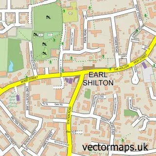
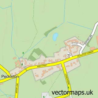
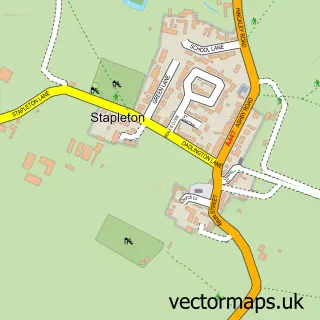
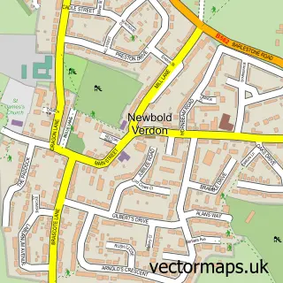
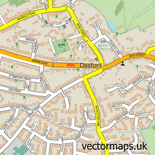
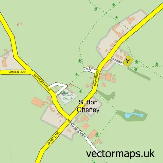
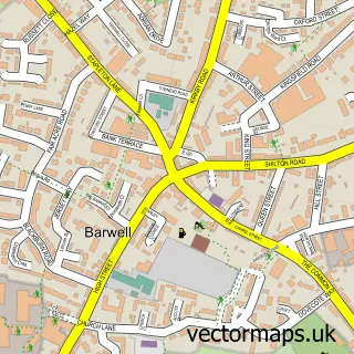
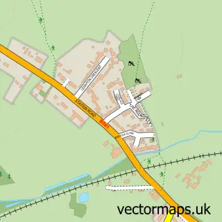
Nearby street map samples around Kirkby Mallory

More street maps in Leicestershire
750 metre map area coverage
Boundary, postcode and point of interest information for the 750m x 750m rectangle centred on this sample map.
Boundaries containing map centre
Constituency: Hinckley and Bosworth Co Const
County: Leicestershire County
District: Hinckley and Bosworth District (B)
Icb: NHS Leicester Leicestershire and Rutland ICB
Parish: Kirkby Mallory, Peckleton & Stapleton CP
Police Force: leicestershire
Postcode District: LE9
Postcode Sector: LE9 7
Ward: Newbold Verdon with Desford and Peckleton Ward
Nearby boundaries intersecting sample
No additional intersecting boundaries found.
Postcode coverage
POI category counts
Automotive Repair: 4
Automotive Services And Repair: 2
Hotel: 2
Amusement Park: 1
Automotive: 1
Bike Repair Maintenance: 1
Building Supply Store: 1
Cabin: 1
Car Rental Agency: 1
Caterer: 1
Sample points of interest
- Copper Beech Solutions
- Revival Classics Ltd
- Complog
- ECU Solutions UK
- East Midlands Alloys
- Ecu Solutions Uk Limited
- Mallory Performance Ltd
- WMD-Evo
- Recoil Suspension
- Burnstar Services
- Mallory Meadows - Holiday Cabins And Roundhouses
- Mallory Campers
Create a larger editable map of Kirkby Mallory
This sample shows only a 750 metre area. To create a larger map of Kirkby Mallory, use our map builder to choose your own coverage area, add titles and download editable SVG, PDF and PNG files.
Create a custom map of Kirkby Mallory