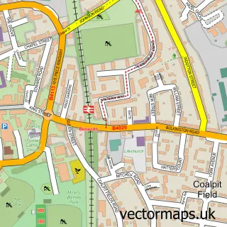
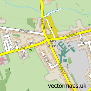
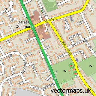
This Coventry street map is a detailed vector street map covering a 750m x 750m area. Select a larger area to create and download your own vector street map of Coventry.
The 750-metre map sample for Coventry covers 108 mapped buildings and approximately 40.6 km of road detail, of which 53 named roads are named. The immediate area includes 1 school, 30 GP surgeries within 2 miles, 19 pubs and 56 MOT stations within 2 miles. The wider area around Coventry features 26 tourism points of interest, 73 food and drink venues and 12 hotels. To create a larger or custom map of Coventry, the map builder lets you define your own coverage area and download editable SVG, PDF and PNG files.
Create a larger editable map of Coventry
Choose any area you need and generate a high-quality vector map instantly. Perfect for print, planning, design, business and personal use.

This Coventry street map in West Midlands is available as downloadable SVG, PDF and PNG map files, or as a printed map for planning, business, display, education, local information and design work. You can also create a larger custom map area using the map selector.
What this Coventry map sample shows
Coventry lies within Coventry District (B) parish, part of Earlsdon ward in the Coventry District (B) local authority area. The postcode geography for this area includes the CV postcode area, the CV5 postcode district and the CV5 6 postcode sector. Residents fall under the Nhs Coventry And Warwickshire Integrated Care Board for NHS services.
Local features near Coventry
Within 2 milesAmenities and services in and around Coventry.
Administrative and postcode information for Coventry
The local authority covering Coventry is Coventry District (B), within the county of West Midlands. The settlement lies within Earlsdon ward and Coventry District (B) civil parish. The CV5 postcode district and CV5 6 postcode sector serve the immediate area. NHS provision in the area is delivered through University Hospitals Coventry And Warwickshire Nhs Trust.
Nearby street map samples around Coventry
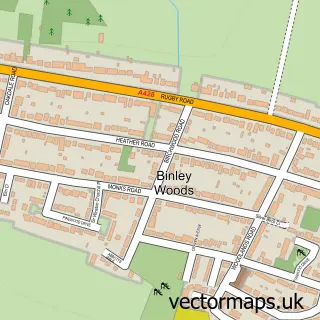
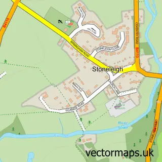
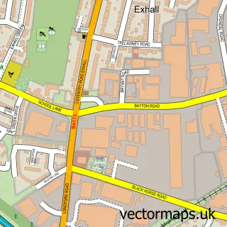
More street maps in West Midlands
750 metre map area coverage
Boundary, postcode and point of interest information for the 750m x 750m rectangle centred on this sample map.
Boundaries containing map centre
Constituency: Coventry South Boro Const
District: Coventry District (B)
Icb: NHS Coventry and Warwickshire ICB
Police Force: west midlands
Postcode District: CV1
Postcode Sector: CV1 1
Ward: St. Michael's Ward
Nearby boundaries intersecting sample
Constituency: Coventry North West Boro Const
Postcode Sector: CV1 2, CV1 3, CV1 4, CV1 5
Ward: Sherbourne Ward
Postcode coverage
POI category counts
Professional Services: 42
Beauty Salon: 36
Employment Agencies: 34
Real Estate Agent: 33
Clothing Store: 32
Jewelry Store: 25
Church Cathedral: 23
Hair Salon: 22
Restaurant: 21
Pub: 19
Sample points of interest
- Fortress House
- Pillar Box
- Shunde Place
- UK Caravans Direct
- Waters Court
- Accumen Business Consultancy
- Alyf
- Champions Collide
- Cov Uni Snow Sports
- Go CV
- Unity Personal Training
- Herb Magic
Create a larger editable map of Coventry
This sample shows only a 750 metre area. To create a larger map of Coventry, use our map builder to choose your own coverage area, add titles and download editable SVG, PDF and PNG files.
Create a custom map of Coventry