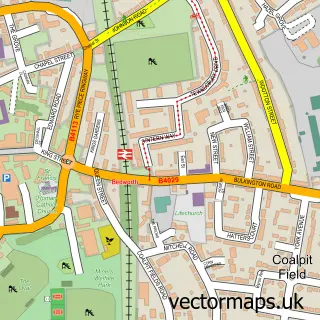
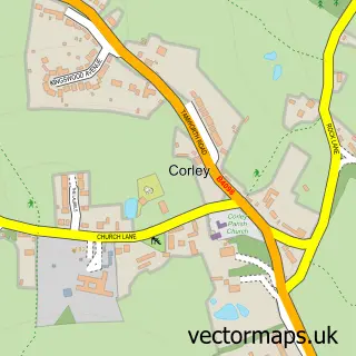
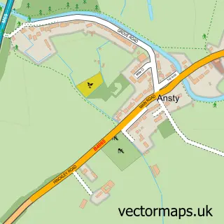
This Daimler Green street map is a detailed vector street map covering a 750m x 750m area. Select a larger area to create and download your own vector street map of Daimler Green.
The 750-metre map sample for Daimler Green covers 453 mapped buildings and approximately 33.8 km of road detail, of which 30 named roads are named. The immediate area includes 28 GP surgeries within 2 miles and 61 MOT stations within 2 miles. The wider area around Daimler Green features 1 tourism point of interest and 2 food and drink venues. To create a larger or custom map of Daimler Green, the map builder lets you define your own coverage area and download editable SVG, PDF and PNG files.
Create a larger editable map of Daimler Green
Choose any area you need and generate a high-quality vector map instantly. Perfect for print, planning, design, business and personal use.

This Daimler Green street map in West Midlands is available as downloadable SVG, PDF and PNG map files, or as a printed map for planning, business, display, education, local information and design work. You can also create a larger custom map area using the map selector.
What this Daimler Green map sample shows
Daimler Green lies within Coventry District (B) parish, part of Longford ward in the Coventry District (B) local authority area. The postcode geography for this area includes the CV postcode area, the CV6 postcode district and the CV6 7 postcode sector. Residents fall under the Nhs Coventry And Warwickshire Integrated Care Board for NHS services.
Local features near Daimler Green
Within 2 milesAmenities and services in and around Daimler Green.
Administrative and postcode information for Daimler Green
The local authority covering Daimler Green is Coventry District (B), within the county of West Midlands. The settlement lies within Longford ward and Coventry District (B) civil parish. The CV6 postcode district and CV6 7 postcode sector serve the immediate area. NHS provision in the area is delivered through University Hospitals Coventry And Warwickshire Nhs Trust.
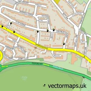
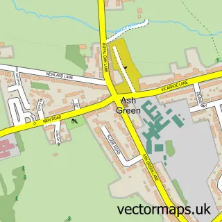
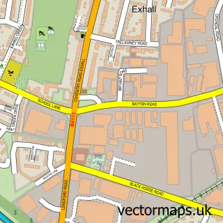
Nearby street map samples around Daimler Green

More street maps in West Midlands
750 metre map area coverage
Boundary, postcode and point of interest information for the 750m x 750m rectangle centred on this sample map.
Boundaries containing map centre
Constituency: Coventry North West Boro Const
District: Coventry District (B)
Icb: NHS Coventry and Warwickshire ICB
Police Force: west midlands
Postcode District: CV6
Postcode Sector: CV6 3
Ward: Radford Ward
Nearby boundaries intersecting sample
Constituency: Coventry East Boro Const
Postcode District: CV1
Postcode Sector: CV1 4, CV6 1, CV6 5
Ward: Foleshill Ward
Postcode coverage
POI category counts
Convenience Store: 4
Driving School: 4
Beauty And Spa: 3
Freight And Cargo Service: 3
Hardware Store: 3
Plumbing: 3
Real Estate Agent: 3
Retail: 3
Automotive Repair: 2
Courier And Delivery Services: 2
Sample points of interest
- Advancetrack Outsourcing Limited
- Picture Frames Express
- DCS Scaffolding
- Brown Brothers
- Finish Line Performance Paintwork
- I P S
- Hickory Chickory
- Gents cut
- Alicia at Beautyflies
- Cheveral Hair
- Salon181 Coventry
- Shine Beauty Care
Create a larger editable map of Daimler Green
This sample shows only a 750 metre area. To create a larger map of Daimler Green, use our map builder to choose your own coverage area, add titles and download editable SVG, PDF and PNG files.
Create a custom map of Daimler Green