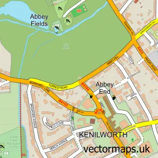
This Allesley street map is a detailed vector street map covering a 750m x 750m area. Select a larger area to create and download your own vector street map of Allesley.
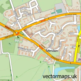
The 750-metre map sample for Allesley covers 374 mapped buildings and approximately 31.9 km of road detail, of which 28 named roads are named. The immediate area includes 1 GP surgery, with 11 within 2 miles, 2 pubs and 16 MOT stations within 2 miles. The wider area around Allesley features 3 tourism points of interest, 7 food and drink venues and 2 hotels. To create a larger or custom map of Allesley, the map builder lets you define your own coverage area and download editable SVG, PDF and PNG files.
Create a larger editable map of Allesley
Choose any area you need and generate a high-quality vector map instantly. Perfect for print, planning, design, business and personal use.

This Allesley street map in West Midlands is available as downloadable SVG, PDF and PNG map files, or as a printed map for planning, business, display, education, local information and design work. You can also create a larger custom map area using the map selector.
What this Allesley map sample shows
Allesley lies within Coventry District (B) parish, part of Bablake ward in the Coventry District (B) local authority area. The postcode geography for this area includes the CV postcode area, the CV5 postcode district and the CV5 9 postcode sector. Residents fall under the Nhs Coventry And Warwickshire Integrated Care Board for NHS services.
Local features near Allesley
Within 2 milesAmenities and services in and around Allesley.
Administrative and postcode information for Allesley
Allesley lies within Coventry District (B) parish, part of Bablake ward in the Coventry District (B) local authority area. The postcode geography for this area includes the CV postcode area, the CV5 postcode district and the CV5 9 postcode sector. Residents fall under the Nhs Coventry And Warwickshire Integrated Care Board for NHS services.
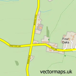
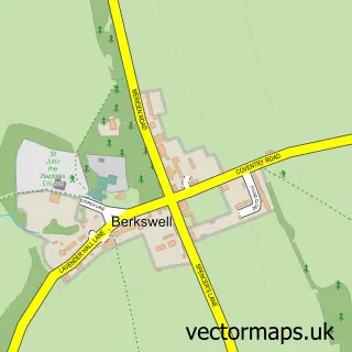
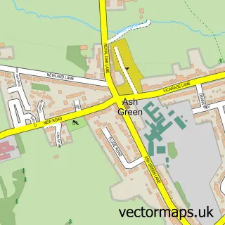
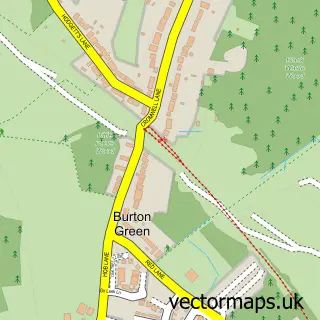
Nearby street map samples around Allesley

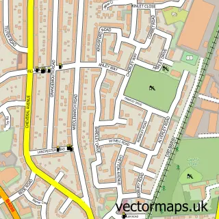
More street maps in West Midlands
750 metre map area coverage
Boundary, postcode and point of interest information for the 750m x 750m rectangle centred on this sample map.
Boundaries containing map centre
Constituency: Coventry North West Boro Const
District: Coventry District (B)
Icb: NHS Coventry and Warwickshire ICB
Police Force: west midlands
Postcode District: CV5
Postcode Sector: CV5 9
Ward: Bablake Ward
Nearby boundaries intersecting sample
Ward: Whoberley Ward
Postcode coverage
POI category counts
Cafe: 4
Energy Company: 4
Building Supply Store: 3
Beauty And Spa: 2
Beauty Salon: 2
Construction Services: 2
Fence And Gate Sales Service: 2
Gym: 2
Hair Salon: 2
Hotel: 2
Sample points of interest
- Breathing Space Coventry
- Extravaganza
- The Village Barbers
- Beautify at The Hideout
- Simply Gels
- Aesthetics By Cheri
- Haylee does hair
- Beechwood Trees & Landscapes
- Lakeview Home Improvements
- Sage Building Envelope Contractors
- Brownie Bliss | Coventry
- The Village Cafe
Create a larger editable map of Allesley
This sample shows only a 750 metre area. To create a larger map of Allesley, use our map builder to choose your own coverage area, add titles and download editable SVG, PDF and PNG files.
Create a custom map of Allesley