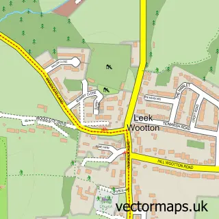
This Kenilworth street map is a detailed vector street map covering a 750m x 750m area. Select a larger area to create and download your own vector street map of Kenilworth.
The 750-metre map sample for Kenilworth covers 256 mapped buildings and approximately 27.3 km of road detail, of which 29 named roads are named. The immediate area includes 1 GP surgery, with 2 within 2 miles, 2 pubs and 5 MOT stations within 2 miles. The wider area around Kenilworth features 3 tourism points of interest, 15 food and drink venues and 3 hotels. To create a larger or custom map of Kenilworth, the map builder lets you define your own coverage area and download editable SVG, PDF and PNG files.
Create a larger editable map of Kenilworth
Choose any area you need and generate a high-quality vector map instantly. Perfect for print, planning, design, business and personal use.

This Kenilworth street map in Warwickshire is available as downloadable SVG, PDF and PNG map files, or as a printed map for planning, business, display, education, local information and design work. You can also create a larger custom map area using the map selector.
What this Kenilworth map sample shows
Kenilworth lies within Kenilworth Cp parish, part of Kenilworth Park Hill ward in the Warwick District local authority area. The postcode geography for this area includes the CV postcode area, the CV8 postcode district and the CV8 2 postcode sector. Residents fall under the Nhs Coventry And Warwickshire Integrated Care Board for NHS services.
Local features near Kenilworth
Within 2 milesAmenities and services in and around Kenilworth.
Administrative and postcode information for Kenilworth
Kenilworth lies within Kenilworth Cp parish, part of Kenilworth Park Hill ward in the Warwick District local authority area. The postcode geography for this area includes the CV postcode area, the CV8 postcode district and the CV8 2 postcode sector. Residents fall under the Nhs Coventry And Warwickshire Integrated Care Board for NHS services.
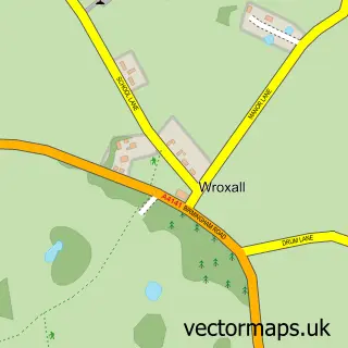
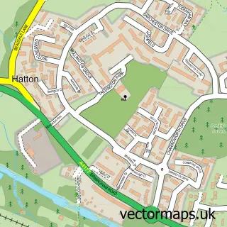
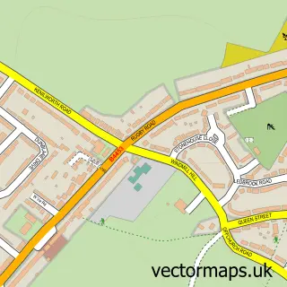
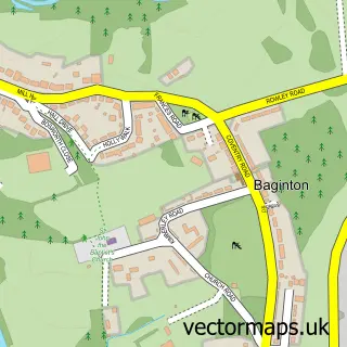
Nearby street map samples around Kenilworth


More street maps in Warwickshire
750 metre map area coverage
Boundary, postcode and point of interest information for the 750m x 750m rectangle centred on this sample map.
Boundaries containing map centre
Constituency: Kenilworth and Southam Co Const
County: Warwickshire County
District: Warwick District
Icb: NHS Coventry and Warwickshire ICB
Parish: Kenilworth CP
Police Force: warwickshire
Postcode District: CV8
Postcode Sector: CV8 1
Nearby boundaries intersecting sample
Postcode Sector: CV8 2
Ward: Kenilworth Abbey & Arden Ward, Kenilworth Park Hill Ward, Kenilworth St. John's Ward
Postcode coverage
POI category counts
Beauty Salon: 9
Professional Services: 7
Cafe: 6
Coffee Shop: 6
Banks: 5
Real Estate Agent: 5
Bank Credit Union: 4
Barber: 4
Hair Salon: 4
Nail Salon: 4
Sample points of interest
- Mcgowan & Co.
- Price Deacon Witham Ltd.
- Aromatics Of Kenilworth
- Advertising Synergy
- Marketing Direct
- Scamper Brand Strategy
- Acorns Children's Hospice
- Scope
- The Shakespeare Hospice Charity Shop
- CDRB Architects
- The Gallery Ltd
- Crazy Kiln
Create a larger editable map of Kenilworth
This sample shows only a 750 metre area. To create a larger map of Kenilworth, use our map builder to choose your own coverage area, add titles and download editable SVG, PDF and PNG files.
Create a custom map of Kenilworth