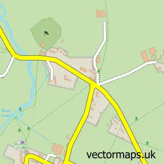
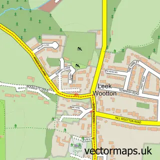
This Cubbington street map is a detailed vector street map covering a 750m x 750m area. Select a larger area to create and download your own vector street map of Cubbington.
The 750-metre map sample for Cubbington covers 218 mapped buildings and approximately 19.7 km of road detail, of which 16 named roads are named. The immediate area includes 1 school, 3 GP surgeries within 2 miles, 2 pubs and 1 MOT station, with 3 within 2 miles. The wider area around Cubbington features 3 food and drink venues. To create a larger or custom map of Cubbington, the map builder lets you define your own coverage area and download editable SVG, PDF and PNG files.
Create a larger editable map of Cubbington
Choose any area you need and generate a high-quality vector map instantly. Perfect for print, planning, design, business and personal use.

This Cubbington street map in Warwickshire is available as downloadable SVG, PDF and PNG map files, or as a printed map for planning, business, display, education, local information and design work. You can also create a larger custom map area using the map selector.
What this Cubbington map sample shows
Cubbington lies within Cubbington Cp parish, part of Cubbington & Leek Wootton ward in the Warwick District local authority area. The postcode geography for this area includes the CV postcode area, the CV32 postcode district and the CV32 7 postcode sector. Residents fall under the Nhs Coventry And Warwickshire Integrated Care Board for NHS services.
Local features near Cubbington
Within 2 milesAmenities and services in and around Cubbington.
Administrative and postcode information for Cubbington
Cubbington lies within Cubbington Cp parish, part of Cubbington & Leek Wootton ward in the Warwick District local authority area. The postcode geography for this area includes the CV postcode area, the CV32 postcode district and the CV32 7 postcode sector. Residents fall under the Nhs Coventry And Warwickshire Integrated Care Board for NHS services.
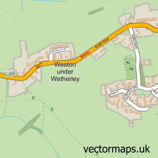
Nearby street map samples around Cubbington

More street maps in Warwickshire
750 metre map area coverage
Boundary, postcode and point of interest information for the 750m x 750m rectangle centred on this sample map.
Boundaries containing map centre
Constituency: Kenilworth and Southam Co Const
County: Warwickshire County
District: Warwick District
Icb: NHS Coventry and Warwickshire ICB
Parish: Cubbington CP
Police Force: warwickshire
Postcode District: CV32
Postcode Sector: CV32 7
Ward: Cubbington & Leek Wootton Ward
Nearby boundaries intersecting sample
Constituency: Warwick and Leamington Co Const
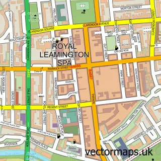
Parish: Royal Leamington Spa CP
Ward: Leamington Lillington Ward
Postcode coverage
POI category counts
Convenience Store: 4
Pub: 3
Barber: 2
Department Store: 2
Elementary School: 2
Gas Station: 2
Rental Kiosks: 2
Supermarket: 2
Veterinarian: 2
Atms: 1
Sample points of interest
- MFG - Cubbington (Simon Smith Group), New Cubbington
- Kim's Cake Gallery
- Logan's Barber Shop
- SHED Barbering and Grooming Supply Co.
- Evolve
- Bungalow Farm
- Radiating Style Ltd
- Retail Workshop
- Subway
- Costa Express
- Budgens MFG Cubbington
- Premier Queen Street
Create a larger editable map of Cubbington
This sample shows only a 750 metre area. To create a larger map of Cubbington, use our map builder to choose your own coverage area, add titles and download editable SVG, PDF and PNG files.
Create a custom map of Cubbington