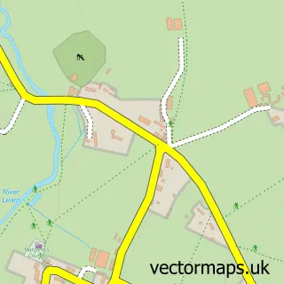
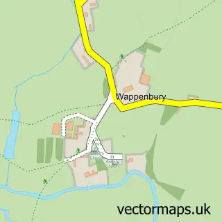
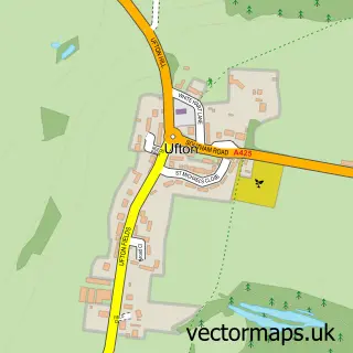
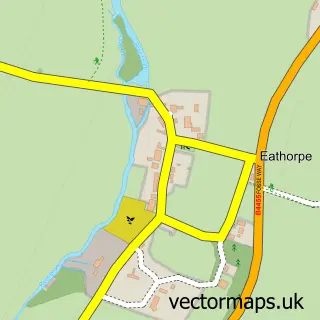
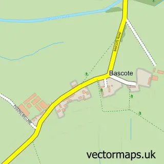
This Offchurch street map is a detailed vector street map covering a 750m x 750m area. Select a larger area to create and download your own vector street map of Offchurch.
The 750-metre map sample for Offchurch covers 75 mapped buildings and approximately 22.8 km of road detail, of which 3 named roads are named. The immediate area includes 1 GP surgery within 2 miles and 1 pub. The wider area around Offchurch features 1 food and drink venue and 1 campsite within 2 miles. To create a larger or custom map of Offchurch, the map builder lets you define your own coverage area and download editable SVG, PDF and PNG files.
Create a larger editable map of Offchurch
Choose any area you need and generate a high-quality vector map instantly. Perfect for print, planning, design, business and personal use.

This Offchurch street map in Warwickshire is available as downloadable SVG, PDF and PNG map files, or as a printed map for planning, business, display, education, local information and design work. You can also create a larger custom map area using the map selector.
What this Offchurch map sample shows
Offchurch lies within Offchurch Cp parish, part of Radford Semele ward in the Warwick District local authority area. The postcode geography for this area includes the CV postcode area, the CV33 postcode district and the CV33 9 postcode sector. Residents fall under the Nhs Coventry And Warwickshire Integrated Care Board for NHS services.
Local features near Offchurch
Within 2 milesAmenities and services in and around Offchurch.
Administrative and postcode information for Offchurch
The local authority covering Offchurch is Warwick District, within the county of Warwickshire. The settlement lies within Radford Semele ward and Offchurch Cp civil parish. The CV33 postcode district and CV33 9 postcode sector serve the immediate area. NHS provision in the area is delivered through South Warwickshire University Nhs Foundation Trust.
Nearby street map samples around Offchurch
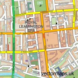

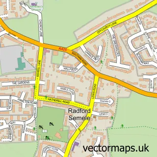
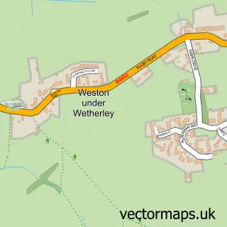
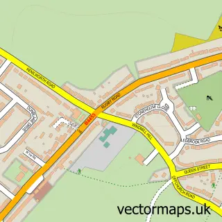
More street maps in Warwickshire
750 metre map area coverage
Boundary, postcode and point of interest information for the 750m x 750m rectangle centred on this sample map.
Boundaries containing map centre
Constituency: Warwick and Leamington Co Const
County: Warwickshire County
District: Warwick District
Icb: NHS Coventry and Warwickshire ICB
Parish: Offchurch CP
Police Force: warwickshire
Postcode District: CV33
Postcode Sector: CV33 9
Ward: Radford Semele Ward
Nearby boundaries intersecting sample
Constituency: Kenilworth and Southam Co Const
Parish: Cubbington CP
Ward: Cubbington & Leek Wootton Ward
Postcode coverage
POI category counts
Advertising Agency: 1
Anglican Church: 1
Automotive Services And Repair: 1
Brewery: 1
Car Dealer: 1
Community Center: 1
Education: 1
Marketing Agency: 1
Printing Equipment And Supply: 1
Printing Services: 1
Sample points of interest
- C & C Communications
- Offchurch - St. Gregory
- Kaz
- Fosse Way Brewing Co
- King Kong Quads
- Offchurch Village Hall
- The British Tai Chi Association
- C&C Communications
- XPD Print
- Xpd Print Ltd
- The Stag at Offchurch
- Gill Plant Services
Create a larger editable map of Offchurch
This sample shows only a 750 metre area. To create a larger map of Offchurch, use our map builder to choose your own coverage area, add titles and download editable SVG, PDF and PNG files.
Create a custom map of Offchurch