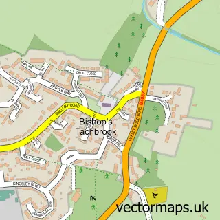
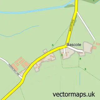
This Radford Semele street map is a detailed vector street map covering a 750m x 750m area. Select a larger area to create and download your own vector street map of Radford Semele.
The 750-metre map sample for Radford Semele covers 425 mapped buildings and approximately 25.8 km of road detail, of which 28 named roads are named. The immediate area includes 1 school, 8 GP surgeries within 2 miles, 1 pub and 9 MOT stations within 2 miles. The wider area around Radford Semele features 1 food and drink venue. To create a larger or custom map of Radford Semele, the map builder lets you define your own coverage area and download editable SVG, PDF and PNG files.
Create a larger editable map of Radford Semele
Choose any area you need and generate a high-quality vector map instantly. Perfect for print, planning, design, business and personal use.

This Radford Semele street map in Warwickshire is available as downloadable SVG, PDF and PNG map files, or as a printed map for planning, business, display, education, local information and design work. You can also create a larger custom map area using the map selector.
What this Radford Semele map sample shows
Radford Semele lies within Radford Semele Cp parish, part of Radford Semele ward in the Warwick District local authority area. The postcode geography for this area includes the CV postcode area, the CV31 postcode district and the CV31 1 postcode sector. Residents fall under the Nhs Coventry And Warwickshire Integrated Care Board for NHS services.
Local features near Radford Semele
Within 2 milesAmenities and services in and around Radford Semele.
Administrative and postcode information for Radford Semele
Radford Semele lies within Radford Semele Cp parish, part of Radford Semele ward in the Warwick District local authority area. The postcode geography for this area includes the CV postcode area, the CV31 postcode district and the CV31 1 postcode sector. Residents fall under the Nhs Coventry And Warwickshire Integrated Care Board for NHS services.
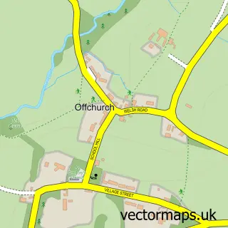
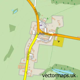
Nearby street map samples around Radford Semele
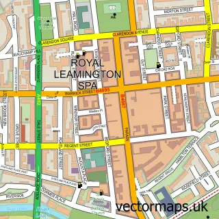

More street maps in Warwickshire
750 metre map area coverage
Boundary, postcode and point of interest information for the 750m x 750m rectangle centred on this sample map.
Boundaries containing map centre
Constituency: Warwick and Leamington Co Const
County: Warwickshire County
District: Warwick District
Icb: NHS Coventry and Warwickshire ICB
Parish: Radford Semele CP
Police Force: warwickshire
Postcode District: CV31
Postcode Sector: CV31 1
Ward: Radford Semele Ward
Nearby boundaries intersecting sample
No additional intersecting boundaries found.
Postcode coverage
POI category counts
Advertising Agency: 3
Elementary School: 2
Photographer: 2
Post Office: 2
Real Estate Agent: 2
Specialty School: 2
Assisted Living Facility: 1
Automotive Services And Repair: 1
Baptist Church: 1
Beauty Salon: 1
Sample points of interest
- PJM C
- Penguin.Media
- Writing It
- Ashley House
- Conexio Software
- Radford Semele Baptist Church
- Red Hair and Beauty Salon
- Hill Cottage
- Tammie Harwin Consulting
- Post Office-Radford Semele
- St Nicholas's Church
- Radford Semele Community Hall
Create a larger editable map of Radford Semele
This sample shows only a 750 metre area. To create a larger map of Radford Semele, use our map builder to choose your own coverage area, add titles and download editable SVG, PDF and PNG files.
Create a custom map of Radford Semele