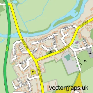
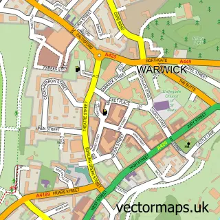
This Bishop's Tachbrook street map is a detailed vector street map covering a 750m x 750m area. Select a larger area to create and download your own vector street map of Bishop's Tachbrook.
The 750-metre map sample for Bishop's Tachbrook covers 243 mapped buildings and approximately 20.4 km of road detail, of which 21 named roads are named. The immediate area includes 1 school, 2 GP surgeries within 2 miles, 1 pub and 9 MOT stations within 2 miles. The wider area around Bishop's Tachbrook features 1 food and drink venue. To create a larger or custom map of Bishop's Tachbrook, the map builder lets you define your own coverage area and download editable SVG, PDF and PNG files.
Create a larger editable map of Bishop's Tachbrook
Choose any area you need and generate a high-quality vector map instantly. Perfect for print, planning, design, business and personal use.

This Bishop's Tachbrook street map in Warwickshire is available as downloadable SVG, PDF and PNG map files, or as a printed map for planning, business, display, education, local information and design work. You can also create a larger custom map area using the map selector.
What this Bishop's Tachbrook map sample shows
Bishop's Tachbrook lies within Bishop's Tachbrook Cp parish, part of Bishop's Tachbrook ward in the Warwick District local authority area. The postcode geography for this area includes the CV postcode area, the CV33 postcode district and the CV33 9 postcode sector. Residents fall under the Nhs Coventry And Warwickshire Integrated Care Board for NHS services.
Local features near Bishop's Tachbrook
Within 2 milesAmenities and services in and around Bishop's Tachbrook.
Administrative and postcode information for Bishop's Tachbrook
Bishop's Tachbrook lies within Bishop's Tachbrook Cp parish, part of Bishop's Tachbrook ward in the Warwick District local authority area. The postcode geography for this area includes the CV postcode area, the CV33 postcode district and the CV33 9 postcode sector. Residents fall under the Nhs Coventry And Warwickshire Integrated Care Board for NHS services.
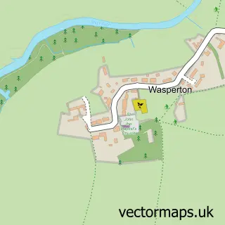
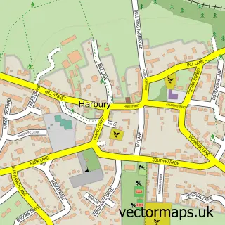
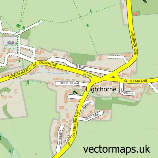
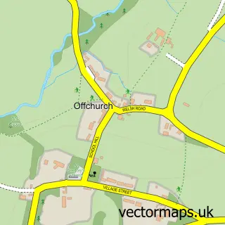
Nearby street map samples around Bishop's Tachbrook


More street maps in Warwickshire
750 metre map area coverage
Boundary, postcode and point of interest information for the 750m x 750m rectangle centred on this sample map.
Boundaries containing map centre
Constituency: Warwick and Leamington Co Const
County: Warwickshire County
District: Warwick District
Icb: NHS Coventry and Warwickshire ICB
Parish: Bishop's Tachbrook CP
Police Force: warwickshire
Postcode District: CV33
Postcode Sector: CV33 9
Ward: Bishop's Tachbrook Ward
Nearby boundaries intersecting sample
No additional intersecting boundaries found.
Postcode coverage
POI category counts
Doctor: 4
Anglican Church: 2
Professional Services: 2
Retail: 2
Advertising Agency: 1
Beauty And Spa: 1
Beauty Salon: 1
Bed And Breakfast: 1
Beer Bar: 1
Building Supply Store: 1
Sample points of interest
- Flamingo Marketing Strategies
- Bishops Tachbrook - St. Chad
- Saint Chads Church of England Church
- LaLuna.Beauty
- Mizuhairleamington
- Tachbrook Mallory House
- The Leopard - Bishops Tachbrook
- Prestige Gardens
- St Chad's Church
- St Chads Centre
- Tachbrook Stores
- Bishops Tachbrook Surgery
Create a larger editable map of Bishop's Tachbrook
This sample shows only a 750 metre area. To create a larger map of Bishop's Tachbrook, use our map builder to choose your own coverage area, add titles and download editable SVG, PDF and PNG files.
Create a custom map of Bishop's Tachbrook