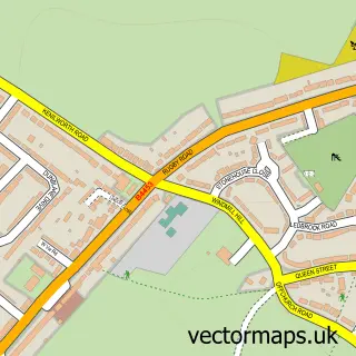
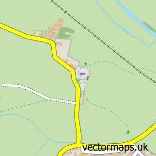
This Royal Leamington Spa street map is a detailed vector street map covering a 750m x 750m area. Select a larger area to create and download your own vector street map of Royal Leamington Spa.
The 750-metre map sample for Royal Leamington Spa covers 188 mapped buildings and approximately 52.6 km of road detail, of which 64 named roads are named. The immediate area includes 2 schools, 2 GP surgeries, with 8 within 2 miles, 16 pubs and 2 MOT stations, with 28 within 2 miles. The wider area around Royal Leamington Spa features 4 tourism points of interest, 90 food and drink venues and 9 hotels. To create a larger or custom map of Royal Leamington Spa, the map builder lets you define your own coverage area and download editable SVG, PDF and PNG files.
Create a larger editable map of Royal Leamington Spa
Choose any area you need and generate a high-quality vector map instantly. Perfect for print, planning, design, business and personal use.

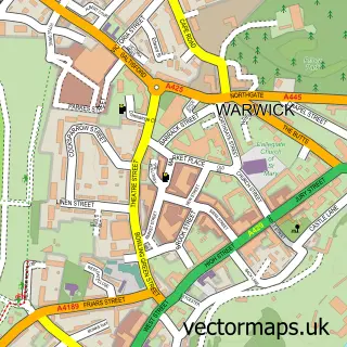
This Royal Leamington Spa street map in Warwickshire is available as downloadable SVG, PDF and PNG map files, or as a printed map for planning, business, display, education, local information and design work. You can also create a larger custom map area using the map selector.
What this Royal Leamington Spa map sample shows
Royal Leamington Spa lies within Royal Leamington Spa Cp parish, part of Leamington Clarendon ward in the Warwick District local authority area. The postcode geography for this area includes the CV postcode area, the CV32 postcode district and the CV32 4 postcode sector. Residents fall under the Nhs Coventry And Warwickshire Integrated Care Board for NHS services.
Local features near Royal Leamington Spa
Within 2 milesAmenities and services in and around Royal Leamington Spa.
Administrative and postcode information for Royal Leamington Spa
The local authority covering Royal Leamington Spa is Warwick District, within the county of Warwickshire. The settlement lies within Leamington Clarendon ward and Royal Leamington Spa Cp civil parish. The CV32 postcode district and CV32 4 postcode sector serve the immediate area. NHS provision in the area is delivered through South Warwickshire University Nhs Foundation Trust.
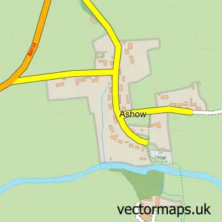
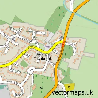
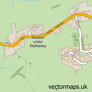
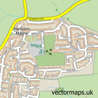
Nearby street map samples around Royal Leamington Spa

More street maps in Warwickshire
750 metre map area coverage
Boundary, postcode and point of interest information for the 750m x 750m rectangle centred on this sample map.
Boundaries containing map centre
Constituency: Warwick and Leamington Co Const
County: Warwickshire County
District: Warwick District
Icb: NHS Coventry and Warwickshire ICB
Parish: Royal Leamington Spa CP
Police Force: warwickshire
Postcode District: CV32
Postcode Sector: CV32 4
Ward: Leamington Clarendon Ward
Nearby boundaries intersecting sample
Postcode District: CV31
Postcode Sector: CV31 3, CV32 5, CV32 6
Ward: Leamington Milverton Ward
Postcode coverage
POI category counts
Clothing Store: 48
Professional Services: 46
Beauty Salon: 45
Cafe: 34
Real Estate Agent: 34
Hair Salon: 33
Advertising Agency: 29
Employment Agencies: 27
Restaurant: 26
Furniture Store: 24
Sample points of interest
- Martins Bedford Street Loft
- Brookwood Accountants Ltd
- Burgis & Bullock
- Dafferns
- Ollis & Co
- Streets Chartered Accountants
- TaxAssist Accountants
- Wallace Hanson
- Leading Edge Performance
- East Meets West Acupuncture - Mary Shevlin
- Heather Adams Acupuncture and Holistic Therapies
- Leamington Acupuncture
Create a larger editable map of Royal Leamington Spa
This sample shows only a 750 metre area. To create a larger map of Royal Leamington Spa, use our map builder to choose your own coverage area, add titles and download editable SVG, PDF and PNG files.
Create a custom map of Royal Leamington Spa