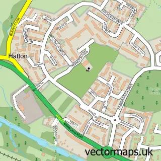
This Hampton Magna street map is a detailed vector street map covering a 750m x 750m area. Select a larger area to create and download your own vector street map of Hampton Magna.
The 750-metre map sample for Hampton Magna covers 458 mapped buildings and approximately 21.7 km of road detail, of which 28 named roads are named. The immediate area includes 1 school, 1 GP surgery, with 3 within 2 miles, 1 pub and 10 MOT stations within 2 miles. The wider area around Hampton Magna features 2 tourism points of interest and 3 food and drink venues. To create a larger or custom map of Hampton Magna, the map builder lets you define your own coverage area and download editable SVG, PDF and PNG files.
Create a larger editable map of Hampton Magna
Choose any area you need and generate a high-quality vector map instantly. Perfect for print, planning, design, business and personal use.

This Hampton Magna street map in Warwickshire is available as downloadable SVG, PDF and PNG map files, or as a printed map for planning, business, display, education, local information and design work. You can also create a larger custom map area using the map selector.
What this Hampton Magna map sample shows
Hampton Magna lies within Budbrooke Cp parish, part of Budbrooke ward in the Warwick District local authority area. The postcode geography for this area includes the CV postcode area, the CV35 postcode district and the CV35 8 postcode sector. Residents fall under the Nhs Coventry And Warwickshire Integrated Care Board for NHS services.
Local features near Hampton Magna
Within 2 milesAmenities and services in and around Hampton Magna.
Administrative and postcode information for Hampton Magna
Hampton Magna lies within Budbrooke Cp parish, part of Budbrooke ward in the Warwick District local authority area. The postcode geography for this area includes the CV postcode area, the CV35 postcode district and the CV35 8 postcode sector. Residents fall under the Nhs Coventry And Warwickshire Integrated Care Board for NHS services.
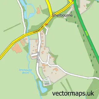
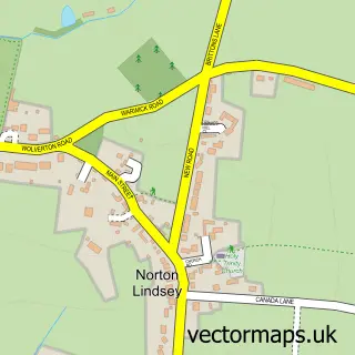
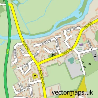
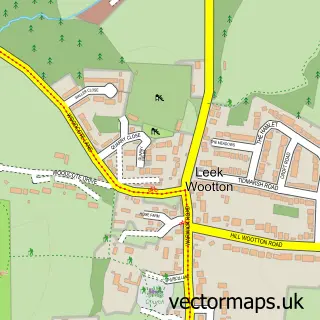
Nearby street map samples around Hampton Magna


More street maps in Warwickshire
750 metre map area coverage
Boundary, postcode and point of interest information for the 750m x 750m rectangle centred on this sample map.
Boundaries containing map centre
Constituency: Kenilworth and Southam Co Const
County: Warwickshire County
District: Warwick District
Icb: NHS Coventry and Warwickshire ICB
Parish: Budbrooke CP
Police Force: warwickshire
Postcode District: CV35
Postcode Sector: CV35 8
Ward: Budbrooke Ward
Nearby boundaries intersecting sample
No additional intersecting boundaries found.
Postcode coverage
POI category counts
Bakery: 2
Beauty Salon: 2
Convenience Store: 2
Landmark And Historical Building: 2
Photographer: 2
Preschool: 2
Shipping Center: 2
Building Supply Store: 1
Cafe: 1
Chiropractor: 1
Sample points of interest
- Black Bunny Bakery
- Sophie's Patisserie
- Forever Beauty Clinic
- Frankie's Lashes Nails and Beauty House
- Cox Development Consultancy Ltd
- The Open Door
- Jan Lloyd
- Costcutter
- Sanghera
- Post Office Travel Money
- Turning Pointe Dance Academy
- Andy Thomas Driving Instructor
Create a larger editable map of Hampton Magna
This sample shows only a 750 metre area. To create a larger map of Hampton Magna, use our map builder to choose your own coverage area, add titles and download editable SVG, PDF and PNG files.
Create a custom map of Hampton Magna