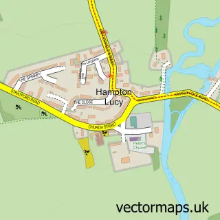
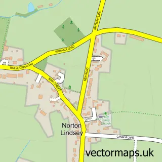
This Barford street map is a detailed vector street map covering a 750m x 750m area. Select a larger area to create and download your own vector street map of Barford.
The 750-metre map sample for Barford covers 252 mapped buildings and approximately 22.0 km of road detail, of which 19 named roads are named. The immediate area includes 1 school, 1 GP surgery within 2 miles, 2 pubs and 1 MOT station within 2 miles. The wider area around Barford features 1 tourism point of interest, 2 food and drink venues and 1 hotel. To create a larger or custom map of Barford, the map builder lets you define your own coverage area and download editable SVG, PDF and PNG files.
Create a larger editable map of Barford
Choose any area you need and generate a high-quality vector map instantly. Perfect for print, planning, design, business and personal use.

This Barford street map in Warwickshire is available as downloadable SVG, PDF and PNG map files, or as a printed map for planning, business, display, education, local information and design work. You can also create a larger custom map area using the map selector.
What this Barford map sample shows
Barford lies within Barford Cp parish, part of Budbrooke ward in the Warwick District local authority area. The postcode geography for this area includes the CV postcode area, the CV35 postcode district and the CV35 8 postcode sector. Residents fall under the Nhs Coventry And Warwickshire Integrated Care Board for NHS services.
Local features near Barford
Within 2 milesAmenities and services in and around Barford.
Administrative and postcode information for Barford
The local authority covering Barford is Warwick District, within the county of Warwickshire. The settlement lies within Budbrooke ward and Barford Cp civil parish. The CV35 postcode district and CV35 8 postcode sector serve the immediate area. NHS provision in the area is delivered through South Warwickshire University Nhs Foundation Trust.
Nearby street map samples around Barford

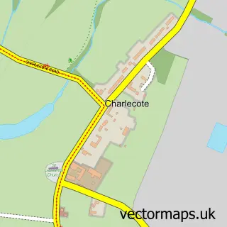
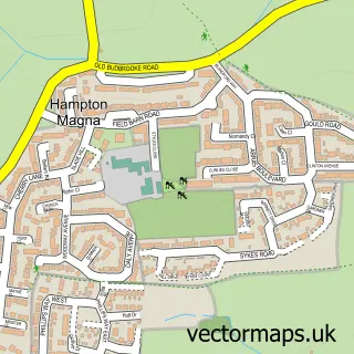
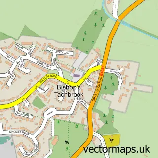
More street maps in Warwickshire
750 metre map area coverage
Boundary, postcode and point of interest information for the 750m x 750m rectangle centred on this sample map.
Boundaries containing map centre
Constituency: Kenilworth and Southam Co Const
County: Warwickshire County
District: Warwick District
Icb: NHS Coventry and Warwickshire ICB
Parish: Barford CP
Police Force: warwickshire
Postcode District: CV35
Postcode Sector: CV35 8
Ward: Budbrooke Ward
Nearby boundaries intersecting sample
Parish: Sherbourne CP
Postcode District: CV34
Postcode Sector: CV34 6
Postcode coverage
POI category counts
Advertising Agency: 2
Business Consulting: 2
Child Care And Day Care: 2
Post Office: 2
Preschool: 2
Pub: 2
Anglican Church: 1
Art Gallery: 1
Attractions And Activities: 1
Building Supply Store: 1
Sample points of interest
- Marketing Aloud
- Write Style
- St. Peter's Barford
- Louis Sidoli Neon Art
- King George V Playing Field
- Ainsworth Construction Ltd
- Linkedinterims
- Locris
- Barford FABS
- Beehive Day Nursery
- Bright Horizons - Barford Beehive Nursery
- Barford Village Shop
Create a larger editable map of Barford
This sample shows only a 750 metre area. To create a larger map of Barford, use our map builder to choose your own coverage area, add titles and download editable SVG, PDF and PNG files.
Create a custom map of Barford