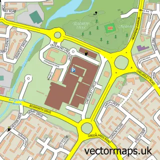
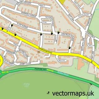
This Meriden street map is a detailed vector street map covering a 750m x 750m area. Select a larger area to create and download your own vector street map of Meriden.
The 750-metre map sample for Meriden covers 324 mapped buildings and approximately 26.7 km of road detail, of which 22 named roads are named. The immediate area includes 1 school, 3 pubs and 1 MOT station within 2 miles. The wider area around Meriden features 4 food and drink venues, 2 hotels and 1 campsite within 2 miles. To create a larger or custom map of Meriden, the map builder lets you define your own coverage area and download editable SVG, PDF and PNG files.
Create a larger editable map of Meriden
Choose any area you need and generate a high-quality vector map instantly. Perfect for print, planning, design, business and personal use.

This Meriden street map in West Midlands is available as downloadable SVG, PDF and PNG map files, or as a printed map for planning, business, display, education, local information and design work. You can also create a larger custom map area using the map selector.
What this Meriden map sample shows
Meriden lies within Meriden Cp parish, part of Meriden ward in the Solihull District (B) local authority area. The postcode geography for this area includes the CV postcode area, the CV7 postcode district and the CV7 7 postcode sector. Residents fall under the Nhs Birmingham And Solihull Integrated Care Board for NHS services.
Local features near Meriden
Within 2 milesAmenities and services in and around Meriden.
Administrative and postcode information for Meriden
Meriden lies within Meriden Cp parish, part of Meriden ward in the Solihull District (B) local authority area. The postcode geography for this area includes the CV postcode area, the CV7 postcode district and the CV7 7 postcode sector. Residents fall under the Nhs Birmingham And Solihull Integrated Care Board for NHS services.
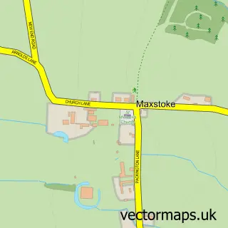
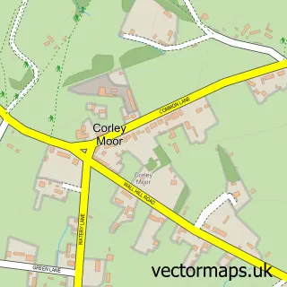
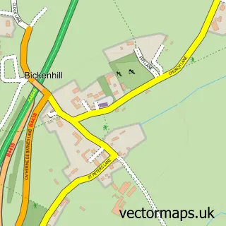
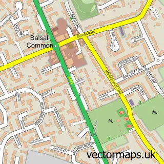
Nearby street map samples around Meriden

More street maps in West Midlands
750 metre map area coverage
Boundary, postcode and point of interest information for the 750m x 750m rectangle centred on this sample map.
Boundaries containing map centre
Constituency: Meriden and Solihull East Co Const
District: Solihull District (B)
Icb: NHS Birmingham and Solihull ICB
Parish: Meriden CP
Police Force: west midlands
Postcode District: CV7
Postcode Sector: CV7 7
Ward: Meriden Ward
Nearby boundaries intersecting sample
Police Force: warwickshire
Postcode coverage
POI category counts
Pub: 3
Business Management Services: 2
Construction Services: 2
Hotel: 2
Preschool: 2
Professional Services: 2
Supermarket: 2
Bed And Breakfast: 1
Bridal Shop: 1
Church Cathedral: 1
Sample points of interest
- Grove House Bed & Breakfast
- Fantasy And Fairytales
- Meriden Post Office
- Post Office-Meriden
- Meriden Methodist Church
- Prestige Garden Rooms
- The Loftman Company
- Meriden Church of England Primary School
- Pertemps Network Group
- Meriden Fish & Chips
- Complete Washroom Solutions
- Co-op Food
Create a larger editable map of Meriden
This sample shows only a 750 metre area. To create a larger map of Meriden, use our map builder to choose your own coverage area, add titles and download editable SVG, PDF and PNG files.
Create a custom map of Meriden