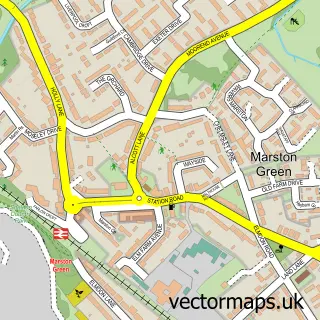
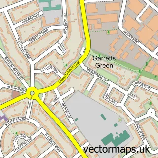
This Bickenhill street map is a detailed vector street map covering a 750m x 750m area. Select a larger area to create and download your own vector street map of Bickenhill.
The 750-metre map sample for Bickenhill covers 74 mapped buildings and approximately 13.0 km of road detail, of which 5 named roads are named. The immediate area includes 1 GP surgery within 2 miles and 1 MOT station within 2 miles. To create a larger or custom map of Bickenhill, the map builder lets you define your own coverage area and download editable SVG, PDF and PNG files.
Create a larger editable map of Bickenhill
Choose any area you need and generate a high-quality vector map instantly. Perfect for print, planning, design, business and personal use.

This Bickenhill street map in West Midlands is available as downloadable SVG, PDF and PNG map files, or as a printed map for planning, business, display, education, local information and design work. You can also create a larger custom map area using the map selector.
What this Bickenhill map sample shows
Bickenhill lies within Bickenhill And Marston Green Cp parish, part of Bickenhill ward in the Solihull District (B) local authority area. The postcode geography for this area includes the B postcode area, the B92 postcode district and the B92 0 postcode sector. Residents fall under the Nhs Birmingham And Solihull Integrated Care Board for NHS services.
Local features near Bickenhill
Within 2 milesAmenities and services in and around Bickenhill.
Administrative and postcode information for Bickenhill
Bickenhill lies within Bickenhill And Marston Green Cp parish, part of Bickenhill ward in the Solihull District (B) local authority area. The postcode geography for this area includes the B postcode area, the B92 postcode district and the B92 0 postcode sector. Residents fall under the Nhs Birmingham And Solihull Integrated Care Board for NHS services.
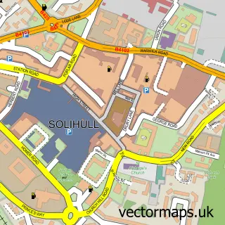
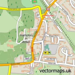
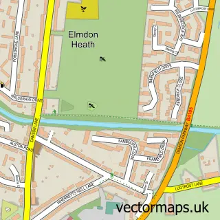
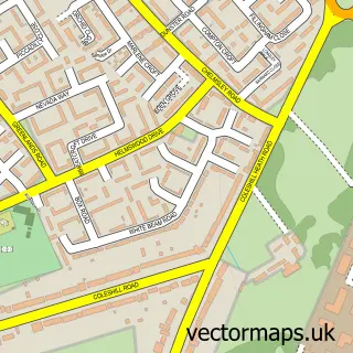
Nearby street map samples around Bickenhill

More street maps in West Midlands
750 metre map area coverage
Boundary, postcode and point of interest information for the 750m x 750m rectangle centred on this sample map.
Boundaries containing map centre
Constituency: Meriden and Solihull East Co Const
District: Solihull District (B)
Icb: NHS Birmingham and Solihull ICB
Parish: Bickenhill and Marston Green CP
Police Force: west midlands
Postcode District: B92
Postcode Sector: B92 0
Ward: Bickenhill Ward
Nearby boundaries intersecting sample
No additional intersecting boundaries found.
Postcode coverage
POI category counts
Bed And Breakfast: 5
Anglican Church: 2
Auto Company: 1
Construction Services: 1
Pet Services: 1
Professional Services: 1
Sample points of interest
- St Peter's Church
- St Peters Church Bickenhill
- Carsino
- Church Farm Accommodation
- Church Farm Accommodation
- Church Farm Accommodation
- Kingscliffe Bed and Breakfast NEC
- The Redlands Guest House
- Damian sweeps
- Knowle Dog Walker
- Number One Model Management
Create a larger editable map of Bickenhill
This sample shows only a 750 metre area. To create a larger map of Bickenhill, use our map builder to choose your own coverage area, add titles and download editable SVG, PDF and PNG files.
Create a custom map of Bickenhill