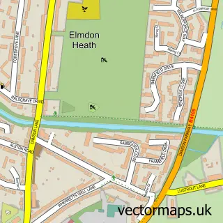
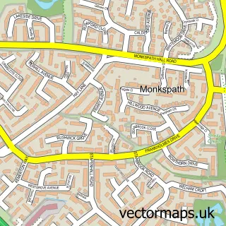
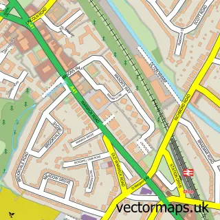
This Solihull street map is a detailed vector street map covering a 750m x 750m area. Select a larger area to create and download your own vector street map of Solihull.
The 750-metre map sample for Solihull covers 158 mapped buildings and approximately 34.4 km of road detail, of which 27 named roads are named. The immediate area includes 1 school, 2 GP surgeries within 2 miles, 11 pubs and 10 MOT stations within 2 miles. The wider area around Solihull features 5 tourism points of interest, 49 food and drink venues and 6 hotels. To create a larger or custom map of Solihull, the map builder lets you define your own coverage area and download editable SVG, PDF and PNG files.
Create a larger editable map of Solihull
Choose any area you need and generate a high-quality vector map instantly. Perfect for print, planning, design, business and personal use.

This Solihull street map in West Midlands is available as downloadable SVG, PDF and PNG map files, or as a printed map for planning, business, display, education, local information and design work. You can also create a larger custom map area using the map selector.
What this Solihull map sample shows
Solihull lies within Solihull District (B) parish, part of Silhill ward in the Solihull District (B) local authority area. The postcode geography for this area includes the B postcode area, the B91 postcode district and the B91 3 postcode sector. Residents fall under the Nhs Birmingham And Solihull Integrated Care Board for NHS services.
Local features near Solihull
Within 2 milesAmenities and services in and around Solihull.
Administrative and postcode information for Solihull
Solihull lies within Solihull District (B) parish, part of Silhill ward in the Solihull District (B) local authority area. The postcode geography for this area includes the B postcode area, the B91 postcode district and the B91 3 postcode sector. Residents fall under the Nhs Birmingham And Solihull Integrated Care Board for NHS services.
Nearby street map samples around Solihull

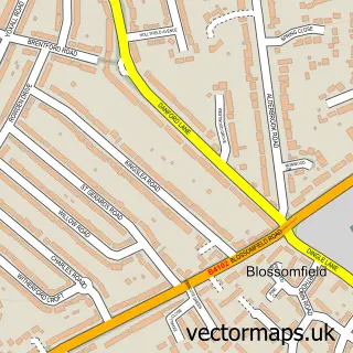
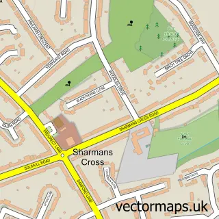
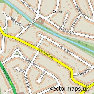
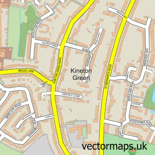
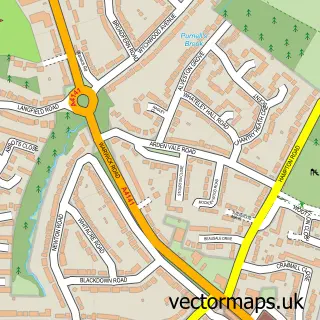
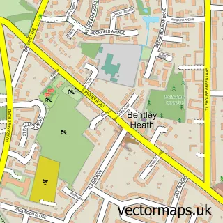
More street maps in West Midlands
750 metre map area coverage
Boundary, postcode and point of interest information for the 750m x 750m rectangle centred on this sample map.
Boundaries containing map centre
Constituency: Solihull West and Shirley Boro Const
District: Solihull District (B)
Icb: NHS Birmingham and Solihull ICB
Police Force: west midlands
Postcode District: B91
Postcode Sector: B91 3
Ward: St. Alphege Ward
Nearby boundaries intersecting sample
Constituency: Meriden and Solihull East Co Const
Postcode Sector: B91 1, B91 2
Ward: Silhill Ward
Postcode coverage
POI category counts
Clothing Store: 50
Jewelry Store: 27
Real Estate Agent: 21
Shoe Store: 21
Beauty Salon: 16
Coffee Shop: 14
Restaurant: 14
Banks: 13
Cosmetic And Beauty Supplies: 13
Fast Food Restaurant: 12
Sample points of interest
- AIT Accountants
- Strike Back Self Defence for Women
- Serene Serenity
- Serenity Specialist Care Limited
- Honey Club Solihull
- And Allies
- Electric Lemon
- Havas People
- Koenig Web Design Ltd
- Larry And Sons Cattle Farm
- Doctor & Herbs
- E.Dunderdale Syner & Co
Create a larger editable map of Solihull
This sample shows only a 750 metre area. To create a larger map of Solihull, use our map builder to choose your own coverage area, add titles and download editable SVG, PDF and PNG files.
Create a custom map of Solihull