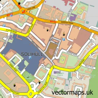
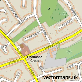
This Bentley Heath street map is a detailed vector street map covering a 750m x 750m area. Select a larger area to create and download your own vector street map of Bentley Heath.
The 750-metre map sample for Bentley Heath covers 437 mapped buildings and approximately 30.3 km of road detail, of which 29 named roads are named. The immediate area includes 1 school, 2 GP surgeries within 2 miles and 4 MOT stations within 2 miles. The wider area around Bentley Heath features 1 food and drink venue. To create a larger or custom map of Bentley Heath, the map builder lets you define your own coverage area and download editable SVG, PDF and PNG files.
Create a larger editable map of Bentley Heath
Choose any area you need and generate a high-quality vector map instantly. Perfect for print, planning, design, business and personal use.

This Bentley Heath street map in West Midlands is available as downloadable SVG, PDF and PNG map files, or as a printed map for planning, business, display, education, local information and design work. You can also create a larger custom map area using the map selector.
What this Bentley Heath map sample shows
Bentley Heath lies within Solihull District (B) parish, part of Dorridge And Hockley Heath ward in the Solihull District (B) local authority area. The postcode geography for this area includes the B postcode area, the B93 postcode district and the B93 9 postcode sector. Residents fall under the Nhs Birmingham And Solihull Integrated Care Board for NHS services.
Local features near Bentley Heath
Within 2 milesAmenities and services in and around Bentley Heath.
Administrative and postcode information for Bentley Heath
The local authority covering Bentley Heath is Solihull District (B), within the county of West Midlands. The settlement lies within Dorridge And Hockley Heath ward and Solihull District (B) civil parish. The B93 postcode district and B93 9 postcode sector serve the immediate area. NHS provision in the area is delivered through University Hospitals Birmingham Nhs Foundation Trust.
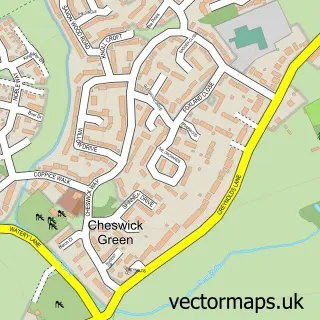
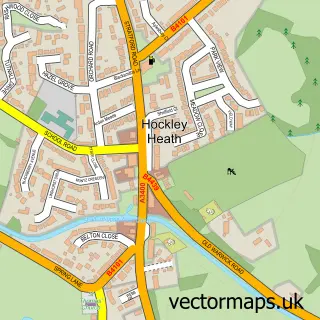
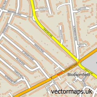
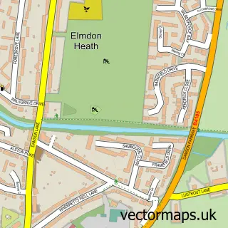
Nearby street map samples around Bentley Heath

More street maps in West Midlands
750 metre map area coverage
Boundary, postcode and point of interest information for the 750m x 750m rectangle centred on this sample map.
Boundaries containing map centre
Constituency: Meriden and Solihull East Co Const
District: Solihull District (B)
Icb: NHS Birmingham and Solihull ICB
Police Force: west midlands
Postcode District: B93
Postcode Sector: B93 9
Ward: Dorridge and Hockley Heath Ward
Nearby boundaries intersecting sample
Postcode Sector: B93 8
Ward: Knowle Ward
Postcode coverage
POI category counts
Beauty Salon: 3
Gas Station: 3
Veterinarian: 3
Assisted Living Facility: 2
Convenience Store: 2
Courier And Delivery Services: 2
Elementary School: 2
Grocery Store: 2
Post Office: 2
Anglican Church: 1
Sample points of interest
- St James', Bentley Heath
- Hurst Green Road
- Summerfield House
- 18 Hair & Beauty
- Jane Creative Hair
- Sonya Jayne Bridal Hair
- Mind Reach
- Vernon James Ltd
- CSF Carpentry
- Dark Horse Espresso Bar
- Bentley Heath Community Centre
- Bentley Heath Cottages
Create a larger editable map of Bentley Heath
This sample shows only a 750 metre area. To create a larger map of Bentley Heath, use our map builder to choose your own coverage area, add titles and download editable SVG, PDF and PNG files.
Create a custom map of Bentley Heath