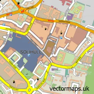
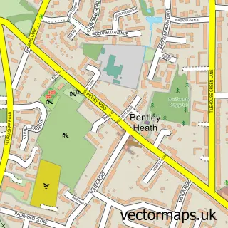
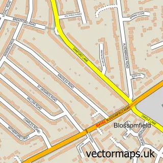
This Dorridge street map is a detailed vector street map covering a 750m x 750m area. Select a larger area to create and download your own vector street map of Dorridge.
The 750-metre map sample for Dorridge covers 455 mapped buildings and approximately 30.7 km of road detail, of which 35 named roads are named. The immediate area includes 1 railway station, 2 GP surgeries within 2 miles and 4 MOT stations within 2 miles. The wider area around Dorridge features 1 tourism point of interest, 3 food and drink venues and 1 hotel. To create a larger or custom map of Dorridge, the map builder lets you define your own coverage area and download editable SVG, PDF and PNG files.
Create a larger editable map of Dorridge
Choose any area you need and generate a high-quality vector map instantly. Perfect for print, planning, design, business and personal use.

This Dorridge street map in West Midlands is available as downloadable SVG, PDF and PNG map files, or as a printed map for planning, business, display, education, local information and design work. You can also create a larger custom map area using the map selector.
What this Dorridge map sample shows
Dorridge lies within Solihull District (B) parish, part of Dorridge And Hockley Heath ward in the Solihull District (B) local authority area. The postcode geography for this area includes the B postcode area, the B93 postcode district and the B93 8 postcode sector. Residents fall under the Nhs Birmingham And Solihull Integrated Care Board for NHS services.
Local features near Dorridge
Within 2 milesAmenities and services in and around Dorridge.
Administrative and postcode information for Dorridge
The local authority covering Dorridge is Solihull District (B), within the county of West Midlands. The settlement lies within Dorridge And Hockley Heath ward and Solihull District (B) civil parish. The B93 postcode district and B93 8 postcode sector serve the immediate area. NHS provision in the area is delivered through University Hospitals Birmingham Nhs Foundation Trust.
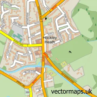
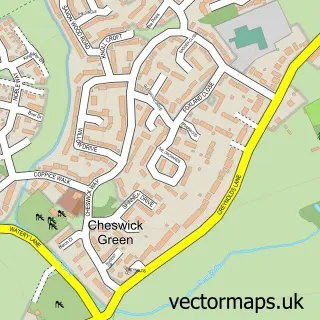
Nearby street map samples around Dorridge

More street maps in West Midlands
750 metre map area coverage
Boundary, postcode and point of interest information for the 750m x 750m rectangle centred on this sample map.
Boundaries containing map centre
Constituency: Meriden and Solihull East Co Const
District: Solihull District (B)
Icb: NHS Birmingham and Solihull ICB
Police Force: west midlands
Postcode District: B93
Postcode Sector: B93 8
Ward: Dorridge and Hockley Heath Ward
Nearby boundaries intersecting sample
No additional intersecting boundaries found.
Postcode coverage
POI category counts
Beauty Salon: 7
Dentist: 6
Education: 4
Beauty And Spa: 3
Indian Restaurant: 3
Barber: 2
Building Supply Store: 2
Butcher Shop: 2
Child Care And Day Care: 2
Church Cathedral: 2
Sample points of interest
- The Butchers Social
- St Philip's Church Centre
- Dixons Lettings
- Cross & Craig Associates
- Conker Lane
- P J S Services
- Timpson
- Boho Bakehouse
- HSBC Bank
- Feast Street
- Barber 93
- Hermanos Barbers
Create a larger editable map of Dorridge
This sample shows only a 750 metre area. To create a larger map of Dorridge, use our map builder to choose your own coverage area, add titles and download editable SVG, PDF and PNG files.
Create a custom map of Dorridge