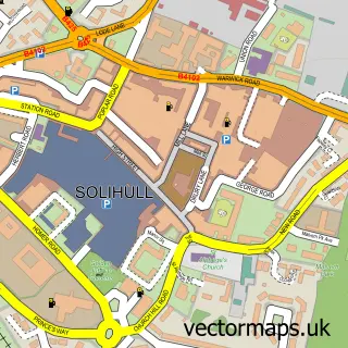
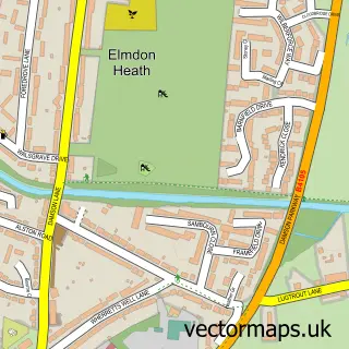
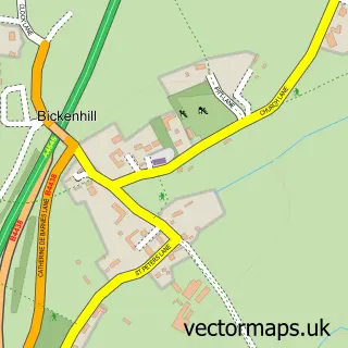
This Knowle street map is a detailed vector street map covering a 750m x 750m area. Select a larger area to create and download your own vector street map of Knowle.
The 750-metre map sample for Knowle covers 470 mapped buildings and approximately 34.0 km of road detail, of which 28 named roads are named. The immediate area includes 2 GP surgeries within 2 miles, 3 pubs and 2 MOT stations within 2 miles. The wider area around Knowle features 5 food and drink venues and 2 hotels. To create a larger or custom map of Knowle, the map builder lets you define your own coverage area and download editable SVG, PDF and PNG files.
Create a larger editable map of Knowle
Choose any area you need and generate a high-quality vector map instantly. Perfect for print, planning, design, business and personal use.

This Knowle street map in West Midlands is available as downloadable SVG, PDF and PNG map files, or as a printed map for planning, business, display, education, local information and design work. You can also create a larger custom map area using the map selector.
What this Knowle map sample shows
Knowle lies within Solihull District (B) parish, part of Knowle ward in the Solihull District (B) local authority area. The postcode geography for this area includes the B postcode area, the B93 postcode district and the B93 9 postcode sector. Residents fall under the Nhs Birmingham And Solihull Integrated Care Board for NHS services.
Local features near Knowle
Within 2 milesAmenities and services in and around Knowle.
Administrative and postcode information for Knowle
The local authority covering Knowle is Solihull District (B), within the county of West Midlands. The settlement lies within Knowle ward and Solihull District (B) civil parish. The B93 postcode district and B93 9 postcode sector serve the immediate area. NHS provision in the area is delivered through University Hospitals Birmingham Nhs Foundation Trust.
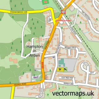
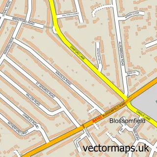
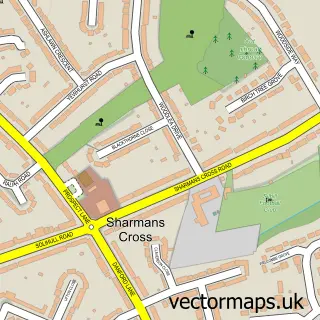
Nearby street map samples around Knowle

More street maps in West Midlands
750 metre map area coverage
Boundary, postcode and point of interest information for the 750m x 750m rectangle centred on this sample map.
Boundaries containing map centre
Constituency: Meriden and Solihull East Co Const
District: Solihull District (B)
Icb: NHS Birmingham and Solihull ICB
Police Force: west midlands
Postcode District: B93
Postcode Sector: B93 9
Ward: Knowle Ward
Nearby boundaries intersecting sample
Postcode Sector: B93 0
Postcode coverage
POI category counts
Acupuncture: 4
Naturopathic Holistic: 4
Beauty Salon: 3
Community Services Non Profits: 3
Pub: 3
Business Management Services: 2
Cafe: 2
Dentist: 2
Doctor: 2
Engineering Services: 2
Sample points of interest
- Balanced Approach Acupuncture
- Balanced Approach Acupuncture
- Jo Rochford Acupuncture
- The Physiotherapy Partners - Knowle
- Sharon Pick Intolerance Testing & Treatment
- Noel Tradional Sweet Shop
- Hairology by Lena
- Miss Brow Design- Semi permanent Makeup Solihull
- The Pink Co
- Achill Guest House
- White Wedding Pages
- Toby Carvery Knowle
Create a larger editable map of Knowle
This sample shows only a 750 metre area. To create a larger map of Knowle, use our map builder to choose your own coverage area, add titles and download editable SVG, PDF and PNG files.
Create a custom map of Knowle